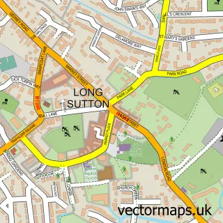
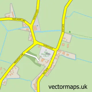
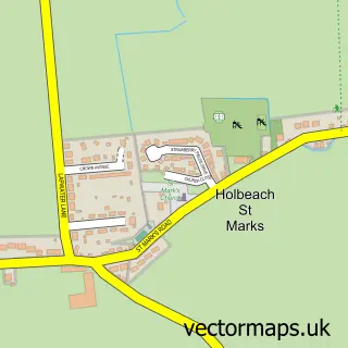
This Gedney Drove End street map is a detailed vector street map covering a 750m x 750m area. Select a larger area to create and download your own vector street map of Gedney Drove End.
The 750-metre map sample for Gedney Drove End covers 190 mapped buildings and approximately 6.8 km of road detail, of which 5 named roads are named. The immediate area includes 1 school and 2 pubs. The wider area around Gedney Drove End features 1 tourism point of interest and 2 food and drink venues. To create a larger or custom map of Gedney Drove End, the map builder lets you define your own coverage area and download editable SVG, PDF and PNG files.
Create a larger editable map of Gedney Drove End
Choose any area you need and generate a high-quality vector map instantly. Perfect for print, planning, design, business and personal use.

This Gedney Drove End street map in Lincolnshire is available as downloadable SVG, PDF and PNG map files, or as a printed map for planning, business, display, education, local information and design work. You can also create a larger custom map area using the map selector.
What this Gedney Drove End map sample shows
Gedney Drove End lies within Gedney Cp parish, part of Gedney ward in the South Holland District local authority area. The postcode geography for this area includes the PE postcode area, the PE12 postcode district and the PE12 9 postcode sector. Residents fall under the Nhs Lincolnshire Integrated Care Board for NHS services.
Local features near Gedney Drove End
Within 2 milesAmenities and services in and around Gedney Drove End.
Administrative and postcode information for Gedney Drove End
The local authority covering Gedney Drove End is South Holland District, within the county of Lincolnshire. The settlement lies within Gedney ward and Gedney Cp civil parish. The PE12 postcode district and PE12 9 postcode sector serve the immediate area. NHS provision in the area is delivered through The Queen Elizabeth Hospital, King's Lynn, Nhs Foundation Trust.
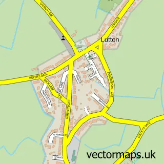
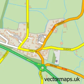
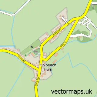
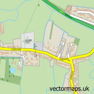
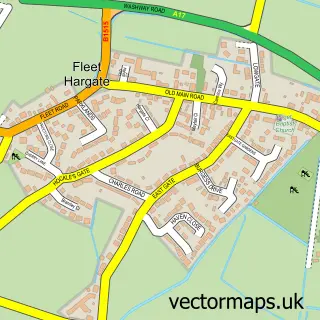
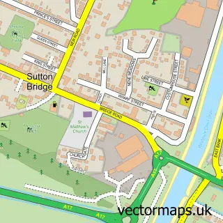
Nearby street map samples around Gedney Drove End

More street maps in Lincolnshire
750 metre map area coverage
Boundary, postcode and point of interest information for the 750m x 750m rectangle centred on this sample map.
Boundaries containing map centre
Constituency: South Holland and The Deepings Co Const
County: Lincolnshire County
District: South Holland District
Icb: NHS Lincolnshire ICB
Parish: Gedney CP
Police Force: lincolnshire
Postcode District: PE12
Postcode Sector: PE12 9
Ward: Gedney Ward
Nearby boundaries intersecting sample
No additional intersecting boundaries found.
Postcode coverage
POI category counts
Pub: 2
Bakery: 1
Beach Equipment Rentals: 1
Dog Park: 1
Landmark And Historical Building: 1
Retail: 1
Sample points of interest
- EnTicing Cakes
- Anglo Plant Ltd.
- Pegasus Paddock
- Gedney Drove End
- Rising Sun
- The Rising Sun Country Pub
- CJJ Transportation Support
Create a larger editable map of Gedney Drove End
This sample shows only a 750 metre area. To create a larger map of Gedney Drove End, use our map builder to choose your own coverage area, add titles and download editable SVG, PDF and PNG files.
Create a custom map of Gedney Drove End