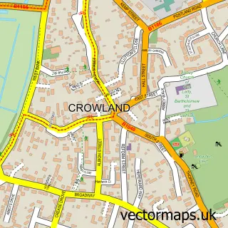
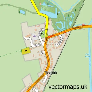
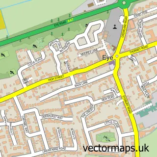
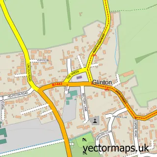
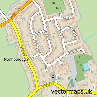
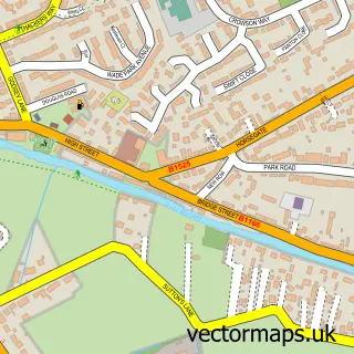
This Newborough street map is a detailed vector street map covering a 750m x 750m area. Select a larger area to create and download your own vector street map of Newborough.
The 750-metre map sample for Newborough covers 381 mapped buildings and approximately 13.3 km of road detail, of which 26 named roads are named. The immediate area includes 1 school, 1 pub and 3 MOT stations within 2 miles. The wider area around Newborough features 1 food and drink venue. To create a larger or custom map of Newborough, the map builder lets you define your own coverage area and download editable SVG, PDF and PNG files.
Create a larger editable map of Newborough
Choose any area you need and generate a high-quality vector map instantly. Perfect for print, planning, design, business and personal use.

This Newborough street map in Cambridgeshire is available as downloadable SVG, PDF and PNG map files, or as a printed map for planning, business, display, education, local information and design work. You can also create a larger custom map area using the map selector.
What this Newborough map sample shows
Newborough lies within Newborough Cp parish, part of Eye, Thorney And Newborough ward in the City Of Peterborough (B) local authority area. The postcode geography for this area includes the PE postcode area, the PE6 postcode district and the PE6 7 postcode sector. Residents fall under the Nhs Cambridgeshire And Peterborough Integrated Care Board for NHS services.
Local features near Newborough
Within 2 milesAmenities and services in and around Newborough.
Administrative and postcode information for Newborough
Newborough lies within Newborough Cp parish, part of Eye, Thorney And Newborough ward in the City Of Peterborough (B) local authority area. The postcode geography for this area includes the PE postcode area, the PE6 postcode district and the PE6 7 postcode sector. Residents fall under the Nhs Cambridgeshire And Peterborough Integrated Care Board for NHS services.
Nearby street map samples around Newborough

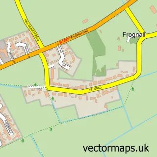
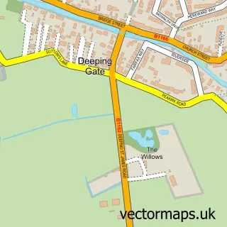
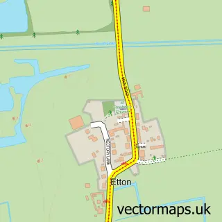
More street maps in Cambridgeshire
750 metre map area coverage
Boundary, postcode and point of interest information for the 750m x 750m rectangle centred on this sample map.
Boundaries containing map centre
Constituency: Peterborough Co Const
District: City of Peterborough (B)
Icb: NHS Central East ICB
Parish: Newborough CP
Police Force: cambridgeshire
Postcode District: PE6
Postcode Sector: PE6 7
Ward: Eye, Thorney & Newborough Ward
Nearby boundaries intersecting sample
Parish: Borough Fen CP
Postcode coverage
POI category counts
Assisted Living Facility: 1
Building Contractor: 1
Business Consulting: 1
Business To Business: 1
Child Care And Day Care: 1
Church Cathedral: 1
Convenience Store: 1
Courier And Delivery Services: 1
Doctor: 1
Dog Walkers: 1
Sample points of interest
- Acacia House
- Oak Tree Design & Build Services Ltd.
- Virtual Secretarial Services
- Zebra Repro Ltd.
- The Teddy Bears Inn Day Nursery
- St Bartholomew's Church
- Mandair's Newborough
- Evri ParcelShop
- Newborough Primary Care Centre
- Wag n Purr Pet Services
- J D Carter
- Newborough CofE Primary School
Create a larger editable map of Newborough
This sample shows only a 750 metre area. To create a larger map of Newborough, use our map builder to choose your own coverage area, add titles and download editable SVG, PDF and PNG files.
Create a custom map of Newborough