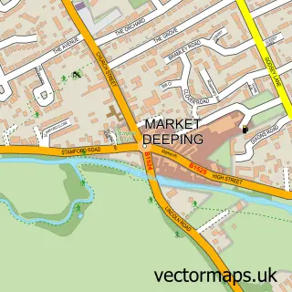
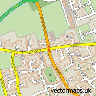
This Frognall street map is a detailed vector street map covering a 750m x 750m area. Select a larger area to create and download your own vector street map of Frognall.
The 750-metre map sample for Frognall covers 157 mapped buildings and approximately 11.0 km of road detail, of which 10 named roads are named. The immediate area includes 1 GP surgery within 2 miles, 1 pub and 6 MOT stations within 2 miles. The wider area around Frognall features 3 food and drink venues. To create a larger or custom map of Frognall, the map builder lets you define your own coverage area and download editable SVG, PDF and PNG files.
Create a larger editable map of Frognall
Choose any area you need and generate a high-quality vector map instantly. Perfect for print, planning, design, business and personal use.

This Frognall street map in Lincolnshire is available as downloadable SVG, PDF and PNG map files, or as a printed map for planning, business, display, education, local information and design work. You can also create a larger custom map area using the map selector.
What this Frognall map sample shows
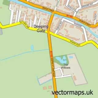
Frognall lies within Deeping St. James Cp parish, part of Deeping St James ward in the South Kesteven District local authority area. The postcode geography for this area includes the PE postcode area, the PE6 postcode district and the PE6 8 postcode sector. Residents fall under the Nhs Lincolnshire Integrated Care Board for NHS services.
Local features near Frognall
Within 2 milesAmenities and services in and around Frognall.
Administrative and postcode information for Frognall
The local authority covering Frognall is South Kesteven District, within the county of Lincolnshire. The settlement lies within Deeping St James ward and Deeping St. James Cp civil parish. The PE6 postcode district and PE6 8 postcode sector serve the immediate area. NHS provision in the area is delivered through North West Anglia Nhs Foundation Trust.
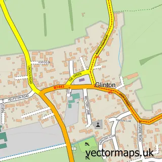
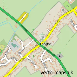
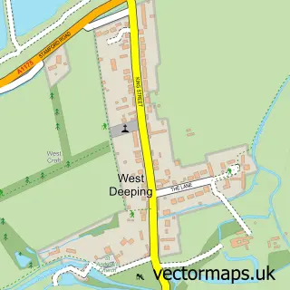
Nearby street map samples around Frognall

More street maps in Lincolnshire
750 metre map area coverage
Boundary, postcode and point of interest information for the 750m x 750m rectangle centred on this sample map.
Boundaries containing map centre
Constituency: South Holland and The Deepings Co Const
County: Lincolnshire County
District: South Kesteven District
Icb: NHS Lincolnshire ICB
Parish: Deeping St. James CP
Police Force: lincolnshire
Postcode District: PE6
Postcode Sector: PE6 8
Ward: Deeping St. James Ward
Nearby boundaries intersecting sample
No additional intersecting boundaries found.
Postcode coverage
POI category counts
Beauty And Spa: 2
Beauty Salon: 2
Restaurant: 2
Agricultural Service: 1
Automotive Dealer: 1
Automotive Repair: 1
Car Dealer: 1
Car Rental Agency: 1
Financial Service: 1
Pub: 1
Sample points of interest
- Garford Farm Machinery
- The Deepings Car Centre
- Plus Performance Garage
- Anne’s Hairdressing
- Fleurz Skin Beauty
- Beautiful Aesthetics Ltd
- The LK Barn
- JGD AutoMotive LTD
- Deeping Car Hire
- Keith Williams Financial
- The Rose Inn
- The Goat
Create a larger editable map of Frognall
This sample shows only a 750 metre area. To create a larger map of Frognall, use our map builder to choose your own coverage area, add titles and download editable SVG, PDF and PNG files.
Create a custom map of Frognall