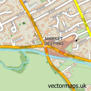
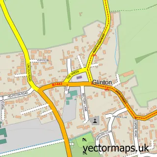
This Deeping Gate street map is a detailed vector street map covering a 750m x 750m area. Select a larger area to create and download your own vector street map of Deeping Gate.
The 750-metre map sample for Deeping Gate covers 213 mapped buildings and approximately 9.4 km of road detail, of which 10 named roads are named. The immediate area includes 1 GP surgery within 2 miles, 2 pubs and 7 MOT stations within 2 miles. The wider area around Deeping Gate features 2 food and drink venues. To create a larger or custom map of Deeping Gate, the map builder lets you define your own coverage area and download editable SVG, PDF and PNG files.
Create a larger editable map of Deeping Gate
Choose any area you need and generate a high-quality vector map instantly. Perfect for print, planning, design, business and personal use.

This Deeping Gate street map in Cambridgeshire is available as downloadable SVG, PDF and PNG map files, or as a printed map for planning, business, display, education, local information and design work. You can also create a larger custom map area using the map selector.
What this Deeping Gate map sample shows
Deeping Gate lies within Deeping Gate Cp parish, part of Glinton And Castor ward in the City Of Peterborough (B) local authority area. The postcode geography for this area includes the PE postcode area, the PE6 postcode district and the PE6 9 postcode sector. Residents fall under the Nhs Cambridgeshire And Peterborough Integrated Care Board for NHS services.
Local features near Deeping Gate
Within 2 milesAmenities and services in and around Deeping Gate.
Administrative and postcode information for Deeping Gate
The local authority covering Deeping Gate is City Of Peterborough (B), within the county of Cambridgeshire. The settlement lies within Glinton And Castor ward and Deeping Gate Cp civil parish. The PE6 postcode district and PE6 9 postcode sector serve the immediate area. NHS provision in the area is delivered through North West Anglia Nhs Foundation Trust.
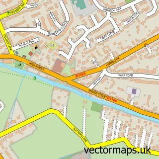
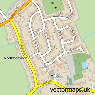
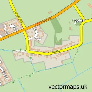
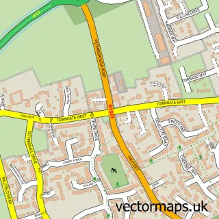
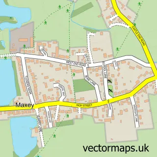
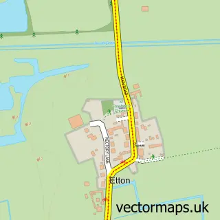
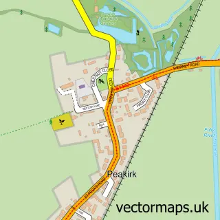
Nearby street map samples around Deeping Gate

More street maps in Cambridgeshire
750 metre map area coverage
Boundary, postcode and point of interest information for the 750m x 750m rectangle centred on this sample map.
Boundaries containing map centre
Constituency: North West Cambridgeshire Co Const
District: City of Peterborough (B)
Icb: NHS Central East ICB
Parish: Deeping Gate CP
Police Force: cambridgeshire
Postcode District: PE6
Postcode Sector: PE6 9
Ward: Glinton & Castor Ward
Nearby boundaries intersecting sample
Constituency: South Holland and The Deepings Co Const
County: Lincolnshire County
District: South Kesteven District
Icb: NHS Lincolnshire ICB
Parish: Deeping St. James CP, Northborough CP
Police Force: lincolnshire
Postcode Sector: PE6 8
Ward: Deeping St. James Ward
Postcode coverage
POI category counts
Building Supply Store: 2
Community Services Non Profits: 2
Professional Services: 2
Pub: 2
Advertising Agency: 1
Assisted Living Facility: 1
Bar: 1
Bed And Breakfast: 1
Beer Garden: 1
Bridal Shop: 1
Sample points of interest
- Red Apple Services
- The Care Advice Service
- The Bell
- The Old Forge
- The Waterton Arms
- Looks Inviting
- Lovedale Gardens
- Mumby Landscapes
- MT-FX Consulting Ltd.
- Home Choose Carpets
- Deepings Business Community
- Deepings Raft Race
Create a larger editable map of Deeping Gate
This sample shows only a 750 metre area. To create a larger map of Deeping Gate, use our map builder to choose your own coverage area, add titles and download editable SVG, PDF and PNG files.
Create a custom map of Deeping Gate