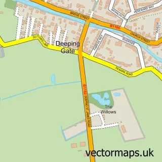
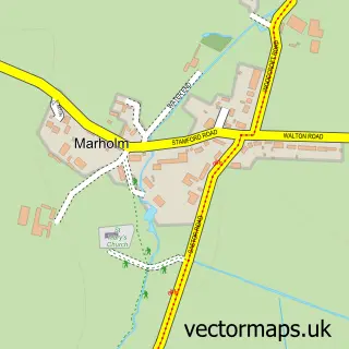
This Glinton street map is a detailed vector street map covering a 750m x 750m area. Select a larger area to create and download your own vector street map of Glinton.
The 750-metre map sample for Glinton covers 304 mapped buildings and approximately 11.9 km of road detail, of which 15 named roads are named. The immediate area includes 1 school, 1 pub and 5 MOT stations within 2 miles. The wider area around Glinton features 2 food and drink venues. To create a larger or custom map of Glinton, the map builder lets you define your own coverage area and download editable SVG, PDF and PNG files.
Create a larger editable map of Glinton
Choose any area you need and generate a high-quality vector map instantly. Perfect for print, planning, design, business and personal use.

This Glinton street map in Cambridgeshire is available as downloadable SVG, PDF and PNG map files, or as a printed map for planning, business, display, education, local information and design work. You can also create a larger custom map area using the map selector.
What this Glinton map sample shows
Glinton lies within Glinton Cp parish, part of Glinton And Castor ward in the City Of Peterborough (B) local authority area. The postcode geography for this area includes the PE postcode area, the PE6 postcode district and the PE6 7 postcode sector. Residents fall under the Nhs Cambridgeshire And Peterborough Integrated Care Board for NHS services.
Local features near Glinton
Within 2 milesAmenities and services in and around Glinton.
Administrative and postcode information for Glinton
The local authority covering Glinton is City Of Peterborough (B), within the county of Cambridgeshire. The settlement lies within Glinton And Castor ward and Glinton Cp civil parish. The PE6 postcode district and PE6 7 postcode sector serve the immediate area. NHS provision in the area is delivered through North West Anglia Nhs Foundation Trust.
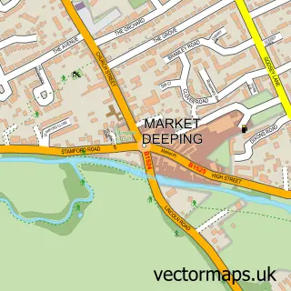
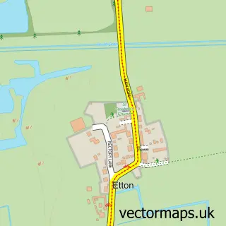
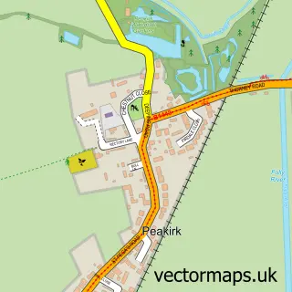
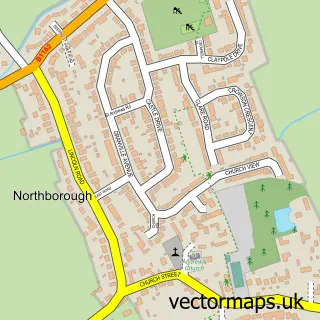
Nearby street map samples around Glinton

More street maps in Cambridgeshire
750 metre map area coverage
Boundary, postcode and point of interest information for the 750m x 750m rectangle centred on this sample map.
Boundaries containing map centre
Constituency: North West Cambridgeshire Co Const
District: City of Peterborough (B)
Icb: NHS Central East ICB
Parish: Glinton CP
Police Force: cambridgeshire
Postcode District: PE6
Postcode Sector: PE6 7
Ward: Glinton & Castor Ward
Nearby boundaries intersecting sample
No additional intersecting boundaries found.
Postcode coverage
POI category counts
Business Management Services: 2
Drugstore: 2
Rental Kiosks: 2
Anglican Church: 1
Architectural Designer: 1
Arts And Entertainment: 1
Atms: 1
Bar: 1
Beauty Salon: 1
Beer Garden: 1
Sample points of interest
- St. Benedict's Church, Glinton
- Architectural Design Services - Jason Thomas
- Glinton
- ESSO Glinton (Rontec), Glinton
- Geneva bar
- The Cove Aesthetics
- The Blue Bell
- Lentons Landscaping
- Banks Cannell LLP
- Glinton Post Office
- Post Office-Glinton
- Happy Faces
Create a larger editable map of Glinton
This sample shows only a 750 metre area. To create a larger map of Glinton, use our map builder to choose your own coverage area, add titles and download editable SVG, PDF and PNG files.
Create a custom map of Glinton