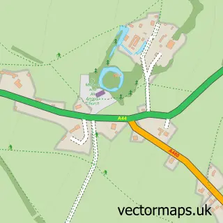
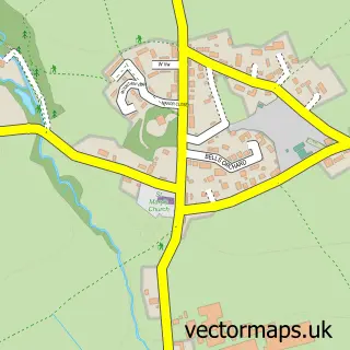
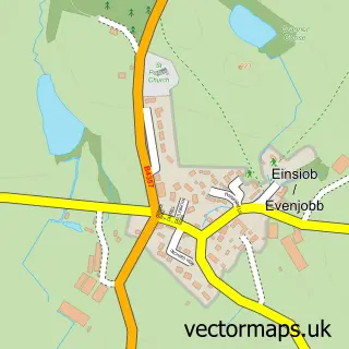
This Kington street map is a detailed vector street map covering a 750m x 750m area. Select a larger area to create and download your own vector street map of Kington.
The 750-metre map sample for Kington covers 399 mapped buildings and approximately 46.5 km of road detail, of which 43 named roads are named. The immediate area includes 1 school, 1 GP surgery within 2 miles, 6 pubs and 1 MOT station, with 2 within 2 miles. The wider area around Kington features 2 tourism points of interest, 14 food and drink venues and 7 hotels. To create a larger or custom map of Kington, the map builder lets you define your own coverage area and download editable SVG, PDF and PNG files.
Create a larger editable map of Kington
Choose any area you need and generate a high-quality vector map instantly. Perfect for print, planning, design, business and personal use.

This Kington street map in Herefordshire is available as downloadable SVG, PDF and PNG map files, or as a printed map for planning, business, display, education, local information and design work. You can also create a larger custom map area using the map selector.
What this Kington map sample shows
Kington lies within Kington Cp parish, part of Kington ward in the County Of Herefordshire local authority area. The postcode geography for this area includes the HR postcode area, the HR5 postcode district and the HR5 3 postcode sector. Residents fall under the Nhs Herefordshire And Worcestershire Integrated Care Board for NHS services.
Local features near Kington
Within 2 milesAmenities and services in and around Kington.
Administrative and postcode information for Kington
Kington lies within Kington Cp parish, part of Kington ward in the County Of Herefordshire local authority area. The postcode geography for this area includes the HR postcode area, the HR5 postcode district and the HR5 3 postcode sector. Residents fall under the Nhs Herefordshire And Worcestershire Integrated Care Board for NHS services.
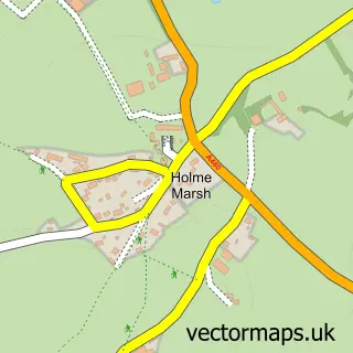
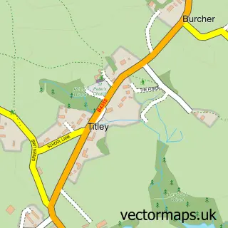
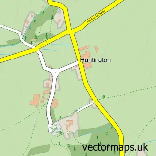
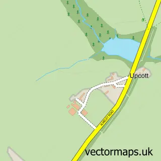
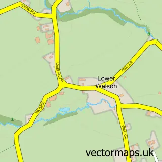
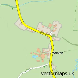
Nearby street map samples around Kington

More street maps in Herefordshire
750 metre map area coverage
Boundary, postcode and point of interest information for the 750m x 750m rectangle centred on this sample map.
Boundaries containing map centre
Constituency: North Herefordshire Co Const
District: County of Herefordshire
Icb: NHS Herefordshire and Worcestershire ICB
Parish: Kington CP
Police Force: west mercia
Postcode District: HR5
Postcode Sector: HR5 3
Ward: Kington Ward
Nearby boundaries intersecting sample
No additional intersecting boundaries found.
Postcode coverage
POI category counts
Professional Services: 14
Hotel: 7
Advertising Agency: 6
Convenience Store: 6
Pub: 6
Restaurant: 6
Shopping: 6
Software Development: 6
Event Planning: 5
Gas Station: 5
Sample points of interest
- No.36 Heritage House
- Outsource Accounting
- Powell & Co. Chartered Accountants
- Essaysnassignments
- Blue Apple Education
- Complete White Label
- Mini Easel Ltd
- O.i.B Marketing Solutions LTD
- Online Wales Internet
- dao.ad - unique conversion and monetization platform for traffic
- Kington Town FC
- St Michaels Hospice Shop
Create a larger editable map of Kington
This sample shows only a 750 metre area. To create a larger map of Kington, use our map builder to choose your own coverage area, add titles and download editable SVG, PDF and PNG files.
Create a custom map of Kington