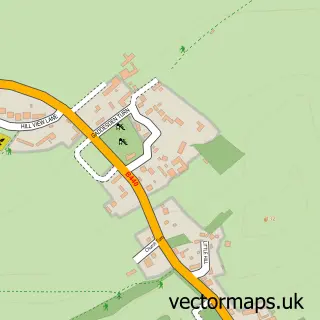
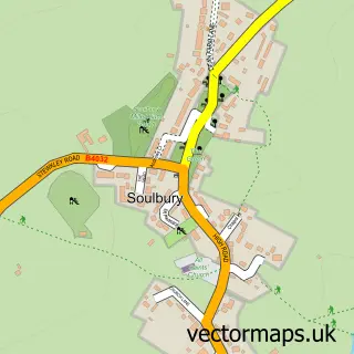
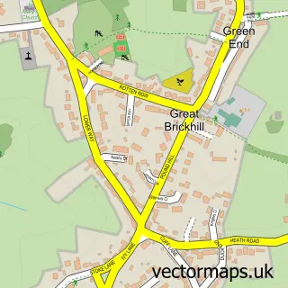
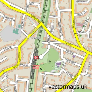
This Leighton Buzzard street map is a detailed vector street map covering a 750m x 750m area. Select a larger area to create and download your own vector street map of Leighton Buzzard.
The 750-metre map sample for Leighton Buzzard covers 323 mapped buildings and approximately 32.4 km of road detail, of which 39 named roads are named. The immediate area includes 2 primary schools and 1 secondary school, 2 GP surgeries, with 3 within 2 miles, 19 pubs and 3 MOT stations, with 14 within 2 miles. The wider area around Leighton Buzzard features 7 tourism points of interest and 44 food and drink venues. To create a larger or custom map of Leighton Buzzard, the map builder lets you define your own coverage area and download editable SVG, PDF and PNG files.
Create a larger editable map of Leighton Buzzard
Choose any area you need and generate a high-quality vector map instantly. Perfect for print, planning, design, business and personal use.

This Leighton Buzzard street map in Bedfordshire is available as downloadable SVG, PDF and PNG map files, or as a printed map for planning, business, display, education, local information and design work. You can also create a larger custom map area using the map selector.
What this Leighton Buzzard map sample shows
Leighton Buzzard lies within Leighton-Linslade Cp parish, part of Leighton Buzzard South ward in the Central Bedfordshire local authority area. The postcode geography for this area includes the LU postcode area, the LU7 postcode district and the LU7 1 postcode sector. Residents fall under the Nhs Bedfordshire, Luton And Milton Keynes Integrated Care Board for NHS services.
Local features near Leighton Buzzard
Within 2 milesAmenities and services in and around Leighton Buzzard.
Administrative and postcode information for Leighton Buzzard
Leighton Buzzard lies within Leighton-Linslade Cp parish, part of Leighton Buzzard South ward in the Central Bedfordshire local authority area. The postcode geography for this area includes the LU postcode area, the LU7 postcode district and the LU7 1 postcode sector. Residents fall under the Nhs Bedfordshire, Luton And Milton Keynes Integrated Care Board for NHS services.
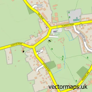
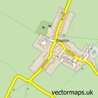
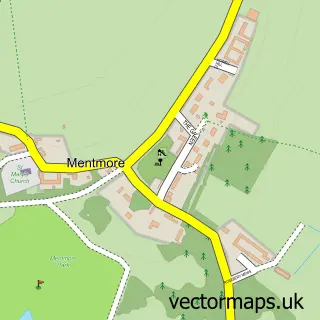
Nearby street map samples around Leighton Buzzard

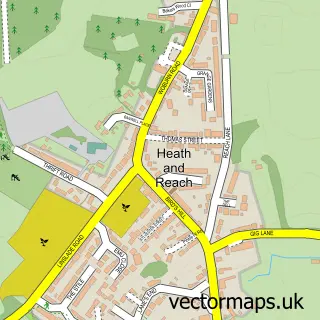
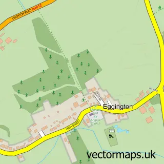
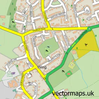
More street maps in Bedfordshire
750 metre map area coverage
Boundary, postcode and point of interest information for the 750m x 750m rectangle centred on this sample map.
Boundaries containing map centre
Constituency: Dunstable and Leighton Buzzard Co Const
District: Central Bedfordshire
Icb: NHS Central East ICB
Parish: Leighton-Linslade CP
Police Force: bedfordshire
Postcode District: LU7
Postcode Sector: LU7 1
Ward: Leighton-Linslade South Ward
Nearby boundaries intersecting sample
Postcode Sector: LU7 3, LU7 4
Ward: Leighton-Linslade North Ward, Leighton-Linslade West Ward
Postcode coverage
POI category counts
Beauty Salon: 23
Pub: 19
Hair Salon: 14
Professional Services: 14
Charity Organization: 12
Barber: 11
Dentist: 11
Real Estate Agent: 11
Coffee Shop: 10
Cafe: 9
Sample points of interest
- Blue Leaf Accounting
- Fouracre Accountancy Services
- MC Accounting Services
- R A & D A Thompson
- TaxAssist Accountants
- Upton Wilson Ltd
- Diverze Print
- Howse Jackson Marketing
- Funky Snake Escape
- All Saints Church
- RSPCA
- Cancer Reserch Uk
Create a larger editable map of Leighton Buzzard
This sample shows only a 750 metre area. To create a larger map of Leighton Buzzard, use our map builder to choose your own coverage area, add titles and download editable SVG, PDF and PNG files.
Create a custom map of Leighton Buzzard