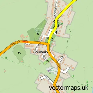
This Wing street map is a detailed vector street map covering a 750m x 750m area. Select a larger area to create and download your own vector street map of Wing.
The 750-metre map sample for Wing covers 390 mapped buildings and approximately 37.8 km of road detail, of which 34 named roads are named. The immediate area includes 1 school, 2 GP surgeries and 2 pubs. The wider area around Wing features 1 tourism point of interest and 3 food and drink venues. To create a larger or custom map of Wing, the map builder lets you define your own coverage area and download editable SVG, PDF and PNG files.
Create a larger editable map of Wing
Choose any area you need and generate a high-quality vector map instantly. Perfect for print, planning, design, business and personal use.

This Wing street map in Buckinghamshire is available as downloadable SVG, PDF and PNG map files, or as a printed map for planning, business, display, education, local information and design work. You can also create a larger custom map area using the map selector.
What this Wing map sample shows
Wing lies within Wing Cp parish, part of Wing ward in the Buckinghamshire local authority area. The postcode geography for this area includes the LU postcode area, the LU7 postcode district and the LU7 0 postcode sector. Residents fall under the Nhs Buckinghamshire, Oxfordshire And Berkshire West Integrated Care Board for NHS services.
Local features near Wing
Within 2 milesAmenities and services in and around Wing.
Administrative and postcode information for Wing
Wing lies within Wing Cp parish, part of Wing ward in the Buckinghamshire local authority area. The postcode geography for this area includes the LU postcode area, the LU7 postcode district and the LU7 0 postcode sector. Residents fall under the Nhs Buckinghamshire, Oxfordshire And Berkshire West Integrated Care Board for NHS services.
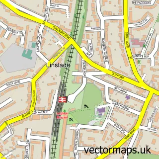
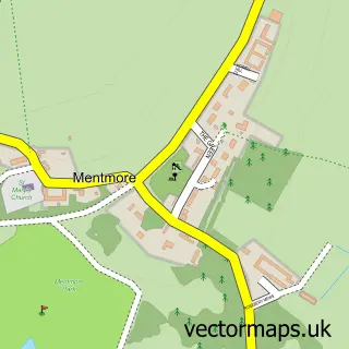
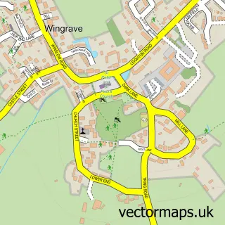
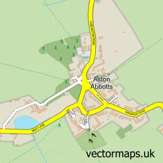
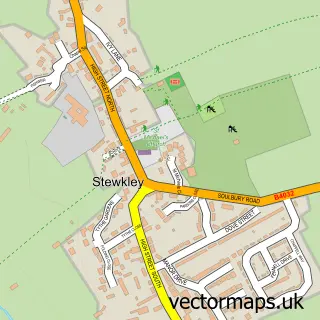
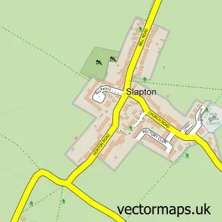
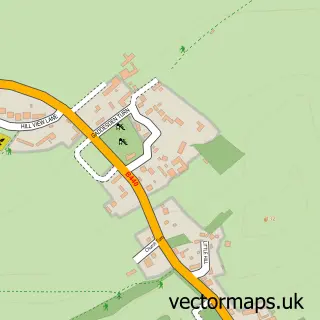
Nearby street map samples around Wing


More street maps in Buckinghamshire
750 metre map area coverage
Boundary, postcode and point of interest information for the 750m x 750m rectangle centred on this sample map.
Boundaries containing map centre
Constituency: Aylesbury Co Const
District: Buckinghamshire
Icb: NHS Thames Valley ICB
Parish: Wing CP
Police Force: thames valley
Postcode District: LU7
Postcode Sector: LU7 0
Ward: Bierton, Kingsbrook & Wing Ward
Nearby boundaries intersecting sample
No additional intersecting boundaries found.
Postcode coverage
POI category counts
Real Estate Agent: 4
Business Management Services: 3
Community Center: 3
Medical Center: 3
Beauty Salon: 2
Building Supply Store: 2
Church Cathedral: 2
Convenience Store: 2
Library: 2
Pub: 2
Sample points of interest
- All Saints Church Wing with Grove
- Wing Park Motors
- APJ Auto Electrics
- LBC Club
- Topcutz barbers
- Jubilee Green
- DA Aesthetics
- Top Cutz
- Beauty L Buzz
- Style Hair and Beauty
- SKS Plumbing Service
- Timber Frame Technology UK Ltd
Create a larger editable map of Wing
This sample shows only a 750 metre area. To create a larger map of Wing, use our map builder to choose your own coverage area, add titles and download editable SVG, PDF and PNG files.
Create a custom map of Wing