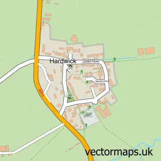
This Cublington street map is a detailed vector street map covering a 750m x 750m area. Select a larger area to create and download your own vector street map of Cublington.
The 750-metre map sample for Cublington covers 123 mapped buildings and approximately 15.8 km of road detail, of which 13 named roads are named. The immediate area includes 1 pub. The wider area around Cublington features 1 food and drink venue and 1 campsite within 2 miles. To create a larger or custom map of Cublington, the map builder lets you define your own coverage area and download editable SVG, PDF and PNG files.
Create a larger editable map of Cublington
Choose any area you need and generate a high-quality vector map instantly. Perfect for print, planning, design, business and personal use.

This Cublington street map in Buckinghamshire is available as downloadable SVG, PDF and PNG map files, or as a printed map for planning, business, display, education, local information and design work. You can also create a larger custom map area using the map selector.
What this Cublington map sample shows
Cublington lies within Cublington Cp parish, part of Wing ward in the Buckinghamshire local authority area. The postcode geography for this area includes the LU postcode area, the LU7 postcode district and the LU7 0 postcode sector. Residents fall under the Nhs Buckinghamshire, Oxfordshire And Berkshire West Integrated Care Board for NHS services.
Local features near Cublington
Within 2 milesAmenities and services in and around Cublington.
Administrative and postcode information for Cublington
Cublington lies within Cublington Cp parish, part of Wing ward in the Buckinghamshire local authority area. The postcode geography for this area includes the LU postcode area, the LU7 postcode district and the LU7 0 postcode sector. Residents fall under the Nhs Buckinghamshire, Oxfordshire And Berkshire West Integrated Care Board for NHS services.
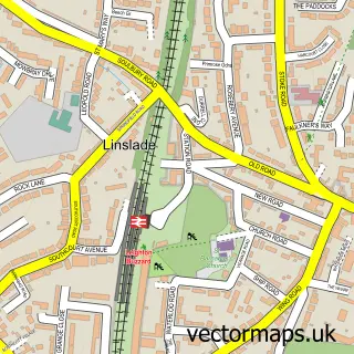
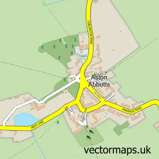
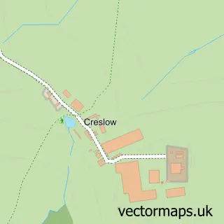
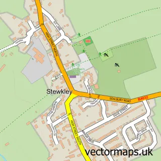
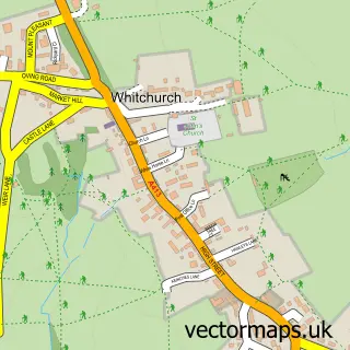
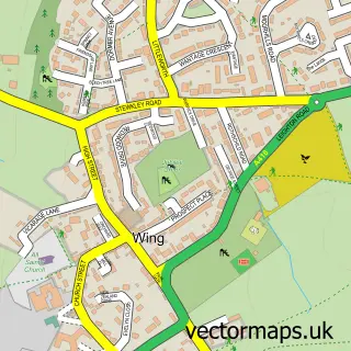
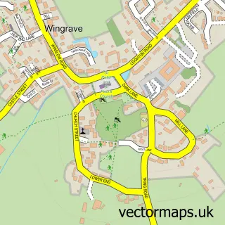
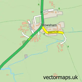
Nearby street map samples around Cublington

More street maps in Buckinghamshire
750 metre map area coverage
Boundary, postcode and point of interest information for the 750m x 750m rectangle centred on this sample map.
Boundaries containing map centre
Constituency: Aylesbury Co Const
District: Buckinghamshire
Icb: NHS Thames Valley ICB
Parish: Cublington CP
Police Force: thames valley
Postcode District: LU7
Postcode Sector: LU7 0
Ward: Bierton, Kingsbrook & Wing Ward
Nearby boundaries intersecting sample
No additional intersecting boundaries found.
Postcode coverage
POI category counts
Naturopathic Holistic: 2
Advertising Agency: 1
Anglican Church: 1
Church Cathedral: 1
Cricket Ground: 1
Driving School: 1
Pub: 1
Shopping: 1
Sports Club And League: 1
Storage Facility: 1
Sample points of interest
- Keyline Advertising
- Cublington: St Nicholas
- St Nicholas Church
- Cublington Cricket Club
- Adept Driving School AA Franchise
- My Bella Luna
- The Retreat - Cublington
- The Unicorn
- GAZZA Records
- Cublington Cricket Club
- Tigastor
Create a larger editable map of Cublington
This sample shows only a 750 metre area. To create a larger map of Cublington, use our map builder to choose your own coverage area, add titles and download editable SVG, PDF and PNG files.
Create a custom map of Cublington