This Rowsham street map is a detailed vector street map covering a 750m x 750m area. Select a larger area to create and download your own vector street map of Rowsham.
The 750-metre map sample for Rowsham covers 66 mapped buildings and approximately 12.9 km of road detail, of which 3 named roads are named. The immediate area includes 2 MOT stations within 2 miles. The wider area around Rowsham features 1 tourism point of interest. To create a larger or custom map of Rowsham, the map builder lets you define your own coverage area and download editable SVG, PDF and PNG files.
Create a larger editable map of Rowsham
Choose any area you need and generate a high-quality vector map instantly. Perfect for print, planning, design, business and personal use.

This Rowsham street map in Buckinghamshire is available as downloadable SVG, PDF and PNG map files, or as a printed map for planning, business, display, education, local information and design work. You can also create a larger custom map area using the map selector.
What this Rowsham map sample shows
Rowsham lies within Wingrave With Rowsham Cp parish, part of Wingrave ward in the Buckinghamshire local authority area. The postcode geography for this area includes the HP postcode area, the HP22 postcode district and the HP22 4 postcode sector. Residents fall under the Nhs Buckinghamshire, Oxfordshire And Berkshire West Integrated Care Board for NHS services.
Local features near Rowsham
Within 2 milesAmenities and services in and around Rowsham.
Administrative and postcode information for Rowsham
Rowsham lies within Wingrave With Rowsham Cp parish, part of Wingrave ward in the Buckinghamshire local authority area. The postcode geography for this area includes the HP postcode area, the HP22 postcode district and the HP22 4 postcode sector. Residents fall under the Nhs Buckinghamshire, Oxfordshire And Berkshire West Integrated Care Board for NHS services.
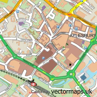
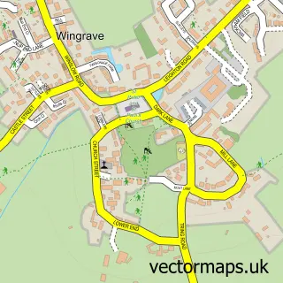
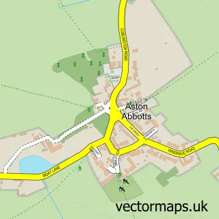
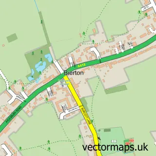
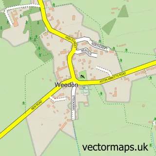
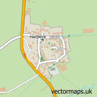
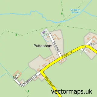
Nearby street map samples around Rowsham


More street maps in Buckinghamshire
750 metre map area coverage
Boundary, postcode and point of interest information for the 750m x 750m rectangle centred on this sample map.
Boundaries containing map centre
Constituency: Aylesbury Co Const
District: Buckinghamshire
Icb: NHS Thames Valley ICB
Parish: Wingrave with Rowsham CP
Police Force: thames valley
Postcode District: HP22
Postcode Sector: HP22 4
Ward: Bierton, Kingsbrook & Wing Ward
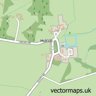
Nearby boundaries intersecting sample
Parish: Hulcott CP
Postcode Sector: HP22 5
Postcode coverage
POI category counts
Granite Supplier: 2
Beauty Salon: 1
Building Supply Store: 1
Carpenter: 1
Contractor: 1
Glass And Mirror Sales Service: 1
Home Health Care: 1
Hvac Services: 1
Interior Design: 1
Landmark And Historical Building: 1
Sample points of interest
- Trendz hair and beauty
- Aylesbury Climate Control
- Fenn Farm Joinery
- Masters Fencing
- Manor Farm Fused Glass
- Bucksmarble
- Stone Marble Specialist (UK) Ltd.
- Prime Care Support
- ACC Ltd
- Glasswa
- Rowsham
- J & P Site Services
Create a larger editable map of Rowsham
This sample shows only a 750 metre area. To create a larger map of Rowsham, use our map builder to choose your own coverage area, add titles and download editable SVG, PDF and PNG files.
Create a custom map of Rowsham