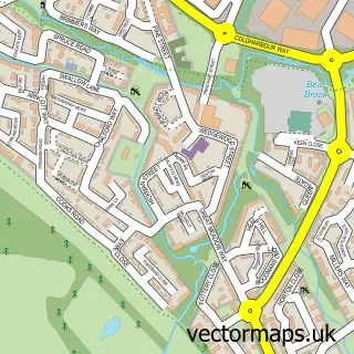
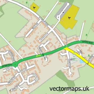
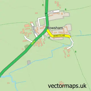
This Aylesbury street map is a detailed vector street map covering a 750m x 750m area. Select a larger area to create and download your own vector street map of Aylesbury.
The 750-metre map sample for Aylesbury covers 215 mapped buildings and approximately 44.1 km of road detail, of which 52 named roads are named. The immediate area includes 1 railway station, 4 GP surgeries within 2 miles, 17 pubs and 26 MOT stations within 2 miles. The wider area around Aylesbury features 10 tourism points of interest, 63 food and drink venues and 1 hotel. To create a larger or custom map of Aylesbury, the map builder lets you define your own coverage area and download editable SVG, PDF and PNG files.
Create a larger editable map of Aylesbury
Choose any area you need and generate a high-quality vector map instantly. Perfect for print, planning, design, business and personal use.

This Aylesbury street map in Buckinghamshire is available as downloadable SVG, PDF and PNG map files, or as a printed map for planning, business, display, education, local information and design work. You can also create a larger custom map area using the map selector.
What this Aylesbury map sample shows
Aylesbury lies within Aylesbury Cp parish, part of Gatehouse ward in the Buckinghamshire local authority area. The postcode geography for this area includes the HP postcode area, the HP19 postcode district and the HP19 9 postcode sector. Residents fall under the Nhs Buckinghamshire, Oxfordshire And Berkshire West Integrated Care Board for NHS services.
Local features near Aylesbury
Within 2 milesAmenities and services in and around Aylesbury.
Administrative and postcode information for Aylesbury
The local authority covering Aylesbury is Buckinghamshire, within the county of Buckinghamshire. The settlement lies within Gatehouse ward and Aylesbury Cp civil parish. The HP19 postcode district and HP19 9 postcode sector serve the immediate area. NHS provision in the area is delivered through Buckinghamshire Healthcare Nhs Trust.
Nearby street map samples around Aylesbury

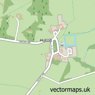
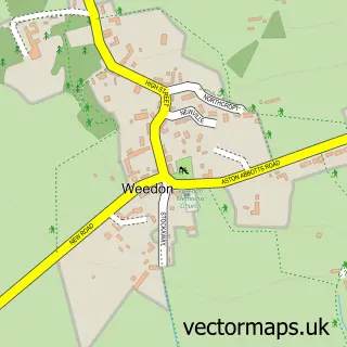
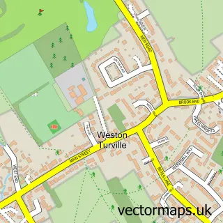
More street maps in Buckinghamshire
750 metre map area coverage
Boundary, postcode and point of interest information for the 750m x 750m rectangle centred on this sample map.
Boundaries containing map centre
Constituency: Aylesbury Co Const
District: Buckinghamshire
Icb: NHS Thames Valley ICB
Parish: Aylesbury CP
Police Force: thames valley
Postcode District: HP20
Postcode Sector: HP20 2
Ward: Aylesbury North Ward
Nearby boundaries intersecting sample
Postcode District: HP19, HP21
Postcode Sector: HP19 8, HP20 1, HP21 7, HP21 8
Ward: Aylesbury North West Ward, Aylesbury South East Ward, Aylesbury South West Ward
Postcode coverage
POI category counts
Real Estate Agent: 26
Beauty Salon: 25
Employment Agencies: 19
Fast Food Restaurant: 19
Barber: 18
Clothing Store: 17
Pub: 17
Coffee Shop: 16
Jewelry Store: 16
Professional Services: 16
Sample points of interest
- AA Stay Ltd - 2 bedroom Apartment & Private Rooms for Contractors and Holidays | Stay in Aylesbury
- AIMS Accountants for Business
- APS Accountancy Limited
- Blue Sky Accounts
- Hillier Hopkins LLP
- Podcast Anita Niedzwiedzka
- Hampden Lodge
- Lighthouse Jiu Jitsu
- Acupuncture & Chinese Medicine
- Aylesbury Acupuncture and Chinese Herbs
- Beth Bennett Acupuncture
- Workers Educational Association
Create a larger editable map of Aylesbury
This sample shows only a 750 metre area. To create a larger map of Aylesbury, use our map builder to choose your own coverage area, add titles and download editable SVG, PDF and PNG files.
Create a custom map of Aylesbury