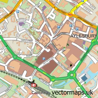
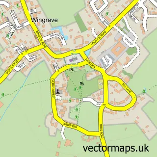
This Bierton street map is a detailed vector street map covering a 750m x 750m area. Select a larger area to create and download your own vector street map of Bierton.
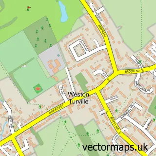
The 750-metre map sample for Bierton covers 193 mapped buildings and approximately 11.2 km of road detail, of which 14 named roads are named. The immediate area includes 3 GP surgeries within 2 miles, 1 pub and 12 MOT stations within 2 miles. The wider area around Bierton features 1 tourism point of interest and 2 food and drink venues. To create a larger or custom map of Bierton, the map builder lets you define your own coverage area and download editable SVG, PDF and PNG files.
Create a larger editable map of Bierton
Choose any area you need and generate a high-quality vector map instantly. Perfect for print, planning, design, business and personal use.

This Bierton street map in Buckinghamshire is available as downloadable SVG, PDF and PNG map files, or as a printed map for planning, business, display, education, local information and design work. You can also create a larger custom map area using the map selector.
What this Bierton map sample shows
Bierton lies within Bierton Cp parish, part of Oakfield & Bierton ward in the Buckinghamshire local authority area. The postcode geography for this area includes the HP postcode area, the HP22 postcode district and the HP22 5 postcode sector. Residents fall under the Nhs Buckinghamshire, Oxfordshire And Berkshire West Integrated Care Board for NHS services.
Local features near Bierton
Within 2 milesAmenities and services in and around Bierton.
Administrative and postcode information for Bierton
Bierton lies within Bierton Cp parish, part of Oakfield & Bierton ward in the Buckinghamshire local authority area. The postcode geography for this area includes the HP postcode area, the HP22 postcode district and the HP22 5 postcode sector. Residents fall under the Nhs Buckinghamshire, Oxfordshire And Berkshire West Integrated Care Board for NHS services.
Nearby street map samples around Bierton

More street maps in Buckinghamshire
750 metre map area coverage
Boundary, postcode and point of interest information for the 750m x 750m rectangle centred on this sample map.
Boundaries containing map centre
Constituency: Aylesbury Co Const
District: Buckinghamshire
Icb: NHS Thames Valley ICB
Parish: Bierton CP
Police Force: thames valley
Postcode District: HP22
Postcode Sector: HP22 5
Ward: Bierton, Kingsbrook & Wing Ward
Nearby boundaries intersecting sample
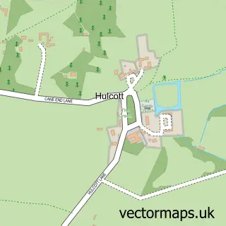
Parish: Hulcott CP, Kingsbrook CP
Postcode coverage
POI category counts
Physical Therapy: 3
Construction Services: 2
Dog Walkers: 2
Hair Salon: 2
Pet Services: 2
Preschool: 2
Agricultural Cooperatives: 1
Arts And Entertainment: 1
Automotive Repair: 1
Beauty And Spa: 1
Sample points of interest
- Ross Lawry Agricultural Services
- John Cort
- A J Automatics
- Dr Anya Aesthetics
- Hair by Lisa
- S E Cook Heating & Plumbing
- Bierton Coffee House
- Treat Drop
- Birch Carpentry & Building
- I Group Services - Restoration of Wooden Floors, Stone, Tile & Vinyl
- Buckinghamshire Community Action
- Annette Regan Bsc(chiro), Msc (animal), Mmca, Amc, Mmaa
Create a larger editable map of Bierton
This sample shows only a 750 metre area. To create a larger map of Bierton, use our map builder to choose your own coverage area, add titles and download editable SVG, PDF and PNG files.
Create a custom map of Bierton