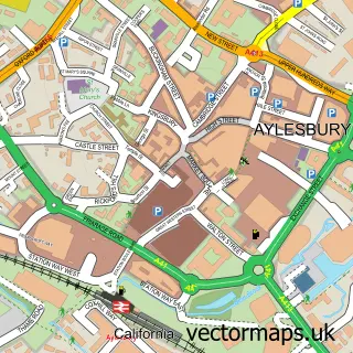
This Fairford Leys street map is a detailed vector street map covering a 750m x 750m area. Select a larger area to create and download your own vector street map of Fairford Leys.
The 750-metre map sample for Fairford Leys covers 461 mapped buildings and approximately 42.2 km of road detail, of which 56 named roads are named. The immediate area includes 1 school, 3 GP surgeries within 2 miles, 2 pubs and 22 MOT stations within 2 miles. The wider area around Fairford Leys features 1 tourism point of interest, 2 food and drink venues and 1 hotel. To create a larger or custom map of Fairford Leys, the map builder lets you define your own coverage area and download editable SVG, PDF and PNG files.
Create a larger editable map of Fairford Leys
Choose any area you need and generate a high-quality vector map instantly. Perfect for print, planning, design, business and personal use.

This Fairford Leys street map in Buckinghamshire is available as downloadable SVG, PDF and PNG map files, or as a printed map for planning, business, display, education, local information and design work. You can also create a larger custom map area using the map selector.
What this Fairford Leys map sample shows
Fairford Leys lies within Aylesbury Cp parish, part of Gatehouse ward in the Buckinghamshire local authority area. The postcode geography for this area includes the HP postcode area, the HP19 postcode district and the HP19 9 postcode sector. Residents fall under the Nhs Buckinghamshire, Oxfordshire And Berkshire West Integrated Care Board for NHS services.
Local features near Fairford Leys
Within 2 milesAmenities and services in and around Fairford Leys.
Administrative and postcode information for Fairford Leys
Fairford Leys lies within Aylesbury Cp parish, part of Gatehouse ward in the Buckinghamshire local authority area. The postcode geography for this area includes the HP postcode area, the HP19 postcode district and the HP19 9 postcode sector. Residents fall under the Nhs Buckinghamshire, Oxfordshire And Berkshire West Integrated Care Board for NHS services.
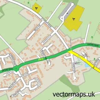
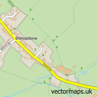
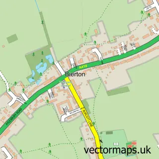
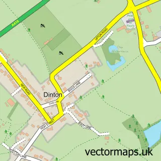
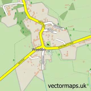
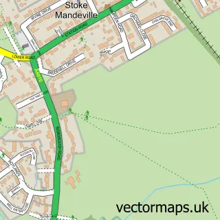
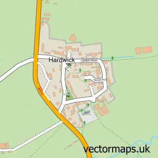
Nearby street map samples around Fairford Leys

More street maps in Buckinghamshire
750 metre map area coverage
Boundary, postcode and point of interest information for the 750m x 750m rectangle centred on this sample map.
Boundaries containing map centre
Constituency: Aylesbury Co Const
District: Buckinghamshire
Icb: NHS Thames Valley ICB
Parish: Coldharbour CP
Police Force: thames valley
Postcode District: HP19
Postcode Sector: HP19 7
Ward: Aylesbury West Ward
Nearby boundaries intersecting sample
Constituency: Mid Buckinghamshire Co Const
Parish: Aylesbury CP, Stone with Bishopstone and Hartwell CP
Postcode District: HP17
Postcode Sector: HP17 8, HP19 8
Ward: Haddenham & Stone Ward
Postcode coverage
POI category counts
Beauty Salon: 4
Gym: 4
Professional Services: 3
Retail: 3
Alternative Medicine: 2
Building Supply Store: 2
Contractor: 2
Dance School: 2
Dog Trainer: 2
Electrician: 2
Sample points of interest
- Coldharbour Farmhouse - Manse
- Clark Howes Group
- Dev Comms
- Bucks Osteopathic Care
- Paradox of Reality
- Evo Appliance Install Service & Repairs
- Narrowboat Astrologer
- Midcounties Co-Op Fairford Leys
- Paradigm Electrical Solutions
- Autoscreens
- Autoglass®
- The BabyO
Create a larger editable map of Fairford Leys
This sample shows only a 750 metre area. To create a larger map of Fairford Leys, use our map builder to choose your own coverage area, add titles and download editable SVG, PDF and PNG files.
Create a custom map of Fairford Leys