This Hardwick street map is a detailed vector street map covering a 750m x 750m area. Select a larger area to create and download your own vector street map of Hardwick.
The 750-metre map sample for Hardwick covers 108 mapped buildings and approximately 15.5 km of road detail, of which 3 named roads are named. The immediate area includes 3 pubs and 2 MOT stations within 2 miles. The wider area around Hardwick features 3 food and drink venues. To create a larger or custom map of Hardwick, the map builder lets you define your own coverage area and download editable SVG, PDF and PNG files.
Create a larger editable map of Hardwick
Choose any area you need and generate a high-quality vector map instantly. Perfect for print, planning, design, business and personal use.

This Hardwick street map in Buckinghamshire is available as downloadable SVG, PDF and PNG map files, or as a printed map for planning, business, display, education, local information and design work. You can also create a larger custom map area using the map selector.
What this Hardwick map sample shows
Hardwick lies within Hardwick Cp parish, part of Watermead ward in the Buckinghamshire local authority area. The postcode geography for this area includes the HP postcode area, the HP22 postcode district and the HP22 4 postcode sector. Residents fall under the Nhs Buckinghamshire, Oxfordshire And Berkshire West Integrated Care Board for NHS services.
Local features near Hardwick
Within 2 milesAmenities and services in and around Hardwick.
Administrative and postcode information for Hardwick
The local authority covering Hardwick is Buckinghamshire, within the county of Buckinghamshire. The settlement lies within Watermead ward and Hardwick Cp civil parish. The HP22 postcode district and HP22 4 postcode sector serve the immediate area. NHS provision in the area is delivered through Buckinghamshire Healthcare Nhs Trust.
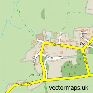
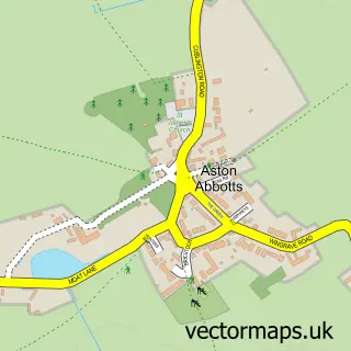
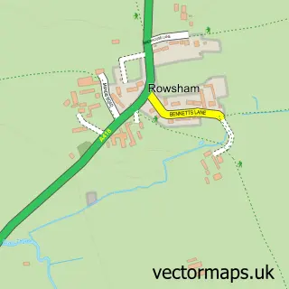
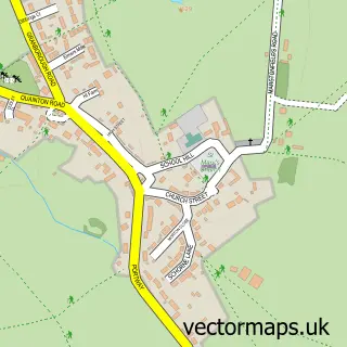
Nearby street map samples around Hardwick


More street maps in Buckinghamshire
750 metre map area coverage
Boundary, postcode and point of interest information for the 750m x 750m rectangle centred on this sample map.
Boundaries containing map centre
Constituency: Aylesbury Co Const
District: Buckinghamshire
Icb: NHS Thames Valley ICB
Parish: Hardwick CP
Police Force: thames valley
Postcode District: HP22
Postcode Sector: HP22 4
Ward: Quainton Ward
Nearby boundaries intersecting sample
Parish: Weedon CP
Postcode coverage
POI category counts
Preschool: 3
Pub: 3
Anglican Church: 1
Bridal Shop: 1
It Service And Computer Repair: 1
Medical Service Organizations: 1
Storage Facility: 1
Sample points of interest
- Hardwick St Mary the Virgin with Weedon
- Yellow Door Photography
- Shafford Ryle
- RS Safety Consulting
- Hardwick Pre-School
- Hardwick Pre-school Within John Bridles Hall
- Hardwick Preschool
- Bell
- The Bell At Hardwick
- The Bell At Hardwick
- M K Relocations
Create a larger editable map of Hardwick
This sample shows only a 750 metre area. To create a larger map of Hardwick, use our map builder to choose your own coverage area, add titles and download editable SVG, PDF and PNG files.
Create a custom map of Hardwick