This North Marston street map is a detailed vector street map covering a 750m x 750m area. Select a larger area to create and download your own vector street map of North Marston.
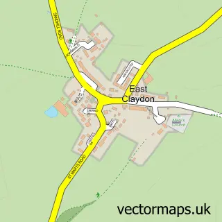
The 750-metre map sample for North Marston covers 201 mapped buildings and approximately 16.2 km of road detail, of which 13 named roads are named. The immediate area includes 1 school, 1 pub and 1 MOT station within 2 miles. The wider area around North Marston features 3 food and drink venues. To create a larger or custom map of North Marston, the map builder lets you define your own coverage area and download editable SVG, PDF and PNG files.
Create a larger editable map of North Marston
Choose any area you need and generate a high-quality vector map instantly. Perfect for print, planning, design, business and personal use.

This North Marston street map in Buckinghamshire is available as downloadable SVG, PDF and PNG map files, or as a printed map for planning, business, display, education, local information and design work. You can also create a larger custom map area using the map selector.
What this North Marston map sample shows
North Marston lies within North Marston Cp parish, part of Quainton ward in the Buckinghamshire local authority area. The postcode geography for this area includes the MK postcode area, the MK18 postcode district and the MK18 3 postcode sector. Residents fall under the Nhs Buckinghamshire, Oxfordshire And Berkshire West Integrated Care Board for NHS services.
Local features near North Marston
Within 2 milesAmenities and services in and around North Marston.
Administrative and postcode information for North Marston
North Marston lies within North Marston Cp parish, part of Quainton ward in the Buckinghamshire local authority area. The postcode geography for this area includes the MK postcode area, the MK18 postcode district and the MK18 3 postcode sector. Residents fall under the Nhs Buckinghamshire, Oxfordshire And Berkshire West Integrated Care Board for NHS services.
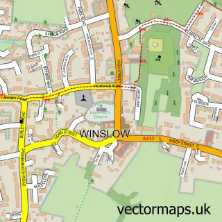
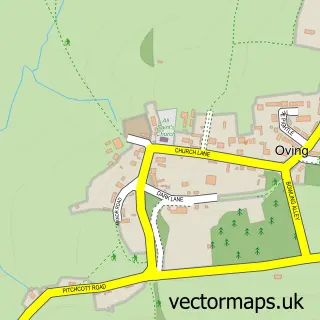
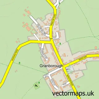
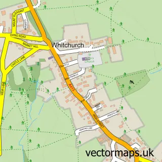
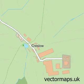
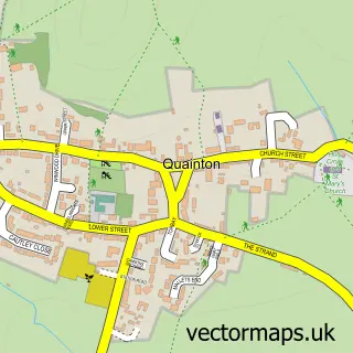
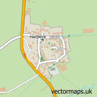
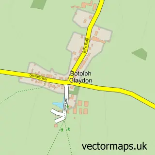
Nearby street map samples around North Marston

More street maps in Buckinghamshire
750 metre map area coverage
Boundary, postcode and point of interest information for the 750m x 750m rectangle centred on this sample map.
Boundaries containing map centre
Constituency: Buckingham and Bletchley Co Const
District: Buckinghamshire
Icb: NHS Thames Valley ICB
Parish: North Marston CP
Police Force: thames valley
Postcode District: MK18
Postcode Sector: MK18 3
Ward: Quainton Ward
Nearby boundaries intersecting sample
No additional intersecting boundaries found.
Postcode coverage
POI category counts
Building Supply Store: 2
Ethical Grocery: 2
Anglican Church: 1
Art Gallery: 1
Automotive Services And Repair: 1
Bar: 1
Bed And Breakfast: 1
Cafe: 1
Caterer: 1
Convenience Store: 1
Sample points of interest
- Assumption of the Blessed Virgin Mary
- North Marston Pottery
- ARO Exhausts
- Grand Junction
- Stables Bed and Breakfast
- JM Fencing
- SJG Plumbing & Heating
- Crackling Fayre
- Monkshood Coffee
- The Shop North Marston
- Woodlands School of Motoring
- Nexus the Educators Connection
Create a larger editable map of North Marston
This sample shows only a 750 metre area. To create a larger map of North Marston, use our map builder to choose your own coverage area, add titles and download editable SVG, PDF and PNG files.
Create a custom map of North Marston