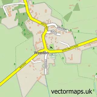
This Whitchurch street map is a detailed vector street map covering a 750m x 750m area. Select a larger area to create and download your own vector street map of Whitchurch.
The 750-metre map sample for Whitchurch covers 187 mapped buildings and approximately 23.3 km of road detail, of which 19 named roads are named. The immediate area includes 1 pub and 2 MOT stations. The wider area around Whitchurch features 1 tourism point of interest and 1 food and drink venue. To create a larger or custom map of Whitchurch, the map builder lets you define your own coverage area and download editable SVG, PDF and PNG files.
Create a larger editable map of Whitchurch
Choose any area you need and generate a high-quality vector map instantly. Perfect for print, planning, design, business and personal use.

This Whitchurch street map in Buckinghamshire is available as downloadable SVG, PDF and PNG map files, or as a printed map for planning, business, display, education, local information and design work. You can also create a larger custom map area using the map selector.
What this Whitchurch map sample shows
Whitchurch lies within Whitchurch Cp parish, part of Stewkley ward in the Buckinghamshire local authority area. The postcode geography for this area includes the HP postcode area, the HP22 postcode district and the HP22 4 postcode sector. Residents fall under the Nhs Buckinghamshire, Oxfordshire And Berkshire West Integrated Care Board for NHS services.
Local features near Whitchurch
Within 2 milesAmenities and services in and around Whitchurch.
Administrative and postcode information for Whitchurch
The local authority covering Whitchurch is Buckinghamshire, within the county of Buckinghamshire. The settlement lies within Stewkley ward and Whitchurch Cp civil parish. The HP22 postcode district and HP22 4 postcode sector serve the immediate area. NHS provision in the area is delivered through Buckinghamshire Healthcare Nhs Trust.
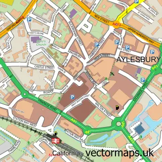
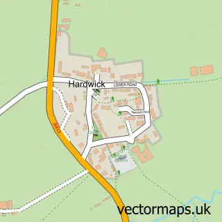
Nearby street map samples around Whitchurch


More street maps in Buckinghamshire
750 metre map area coverage
Boundary, postcode and point of interest information for the 750m x 750m rectangle centred on this sample map.
Boundaries containing map centre
Constituency: Aylesbury Co Const
District: Buckinghamshire
Icb: NHS Thames Valley ICB
Parish: Whitchurch CP
Police Force: thames valley
Postcode District: HP22
Postcode Sector: HP22 4
Ward: Quainton Ward
Nearby boundaries intersecting sample
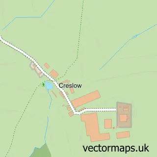
Parish: Hardwick CP
Postcode coverage
POI category counts
Church Cathedral: 2
Convenience Store: 2
Hair Salon: 2
Post Office: 2
Professional Services: 2
Anglican Church: 1
Antique Store: 1
Audiologist: 1
Automotive Repair: 1
Castle: 1
Sample points of interest
- Whitchurch with Creslow St John the Evangelist
- Deer Stalker
- Bucks Ear Wax Removal Clinic
- Vass-tech Automotive
- Bolbec Castle
- St John the Evangelist Church
- St John the Evangelist Church
- Credit Security
- Costcutter
- Mace
- Bond Bros
- Jane Windsor
Create a larger editable map of Whitchurch
This sample shows only a 750 metre area. To create a larger map of Whitchurch, use our map builder to choose your own coverage area, add titles and download editable SVG, PDF and PNG files.
Create a custom map of Whitchurch