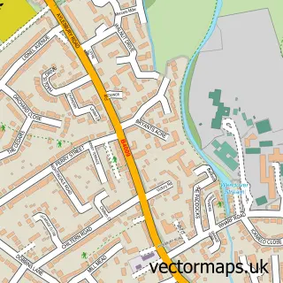
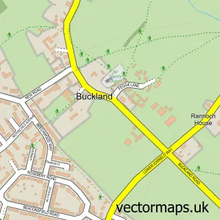
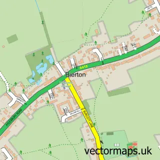
This Weston Turville street map is a detailed vector street map covering a 750m x 750m area. Select a larger area to create and download your own vector street map of Weston Turville.
The 750-metre map sample for Weston Turville covers 328 mapped buildings and approximately 19.2 km of road detail, of which 27 named roads are named. The immediate area includes 1 school, 1 GP surgery within 2 miles, 2 pubs and 5 MOT stations within 2 miles. The wider area around Weston Turville features 5 food and drink venues. To create a larger or custom map of Weston Turville, the map builder lets you define your own coverage area and download editable SVG, PDF and PNG files.
Create a larger editable map of Weston Turville
Choose any area you need and generate a high-quality vector map instantly. Perfect for print, planning, design, business and personal use.

This Weston Turville street map in Buckinghamshire is available as downloadable SVG, PDF and PNG map files, or as a printed map for planning, business, display, education, local information and design work. You can also create a larger custom map area using the map selector.
What this Weston Turville map sample shows
Weston Turville lies within Weston Turville Cp parish, part of Aston Clinton & Stoke Mandeville ward in the Buckinghamshire local authority area. The postcode geography for this area includes the HP postcode area, the HP22 postcode district and the HP22 5 postcode sector. Residents fall under the Nhs Buckinghamshire, Oxfordshire And Berkshire West Integrated Care Board for NHS services.
Local features near Weston Turville
Within 2 milesAmenities and services in and around Weston Turville.
Administrative and postcode information for Weston Turville
Weston Turville lies within Weston Turville Cp parish, part of Aston Clinton & Stoke Mandeville ward in the Buckinghamshire local authority area. The postcode geography for this area includes the HP postcode area, the HP22 postcode district and the HP22 5 postcode sector. Residents fall under the Nhs Buckinghamshire, Oxfordshire And Berkshire West Integrated Care Board for NHS services.
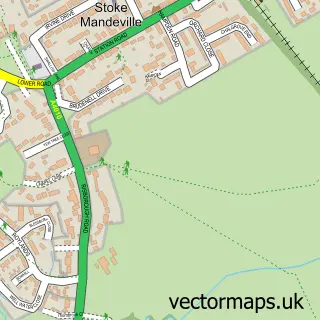
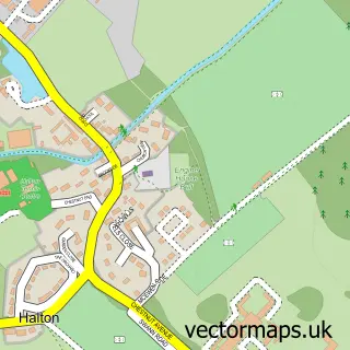
Nearby street map samples around Weston Turville

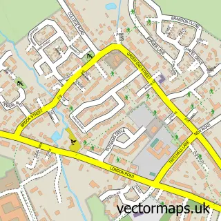
More street maps in Buckinghamshire
750 metre map area coverage
Boundary, postcode and point of interest information for the 750m x 750m rectangle centred on this sample map.
Boundaries containing map centre
Constituency: Aylesbury Co Const
District: Buckinghamshire
Icb: NHS Thames Valley ICB
Parish: Weston Turville CP
Police Force: thames valley
Postcode District: HP22
Postcode Sector: HP22 5
Ward: Aston Clinton & Weston Turville Ward
Nearby boundaries intersecting sample
No additional intersecting boundaries found.
Postcode coverage
POI category counts
Bed And Breakfast: 3
Restaurant: 3
Accommodation: 2
Beauty Product Supplier: 2
Martial Arts Club: 2
Massage Therapy: 2
Naturopathic Holistic: 2
Pub: 2
Accountant: 1
Asian Fusion Restaurant: 1
Sample points of interest
- Barbarellas Pleasure Dome
- Ellen Blackwood StudioArt
- Main Street Accountancy Solutions Ltd.
- Lobon Morees Ltd.
- PayPoint
- Hair & Booty
- Hare & Booty
- Tiffany Taylor Lashes
- Brickwall Farm Cottage B&B
- Hamlet Bed & Breakfast
- The Hamlet Bed and Breakfast
- Weston Turville Stores
Create a larger editable map of Weston Turville
This sample shows only a 750 metre area. To create a larger map of Weston Turville, use our map builder to choose your own coverage area, add titles and download editable SVG, PDF and PNG files.
Create a custom map of Weston Turville