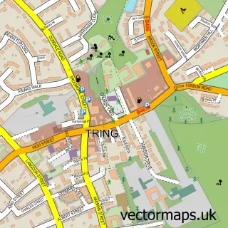
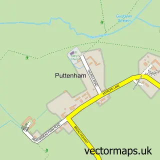
This Buckland street map is a detailed vector street map covering a 750m x 750m area. Select a larger area to create and download your own vector street map of Buckland.
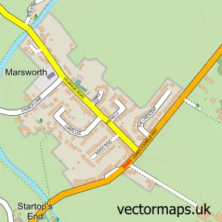
The 750-metre map sample for Buckland covers 196 mapped buildings and approximately 18.9 km of road detail, of which 14 named roads are named. The immediate area includes 4 MOT stations within 2 miles. To create a larger or custom map of Buckland, the map builder lets you define your own coverage area and download editable SVG, PDF and PNG files.
Create a larger editable map of Buckland
Choose any area you need and generate a high-quality vector map instantly. Perfect for print, planning, design, business and personal use.

This Buckland street map in Buckinghamshire is available as downloadable SVG, PDF and PNG map files, or as a printed map for planning, business, display, education, local information and design work. You can also create a larger custom map area using the map selector.
What this Buckland map sample shows
Buckland lies within Buckland Cp parish, part of Aston Clinton & Stoke Mandeville ward in the Buckinghamshire local authority area. The postcode geography for this area includes the HP postcode area, the HP22 postcode district and the HP22 5 postcode sector. Residents fall under the Nhs Buckinghamshire, Oxfordshire And Berkshire West Integrated Care Board for NHS services.
Local features near Buckland
Within 2 milesAmenities and services in and around Buckland.
Administrative and postcode information for Buckland
Buckland lies within Buckland Cp parish, part of Aston Clinton & Stoke Mandeville ward in the Buckinghamshire local authority area. The postcode geography for this area includes the HP postcode area, the HP22 postcode district and the HP22 5 postcode sector. Residents fall under the Nhs Buckinghamshire, Oxfordshire And Berkshire West Integrated Care Board for NHS services.
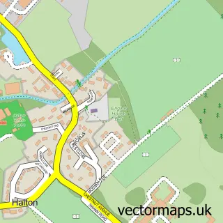
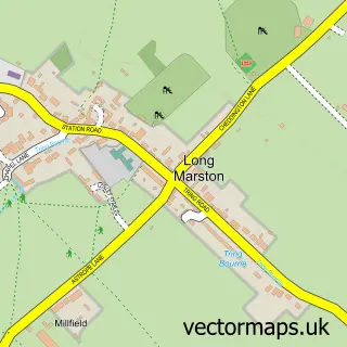
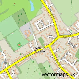
Nearby street map samples around Buckland

More street maps in Buckinghamshire
750 metre map area coverage
Boundary, postcode and point of interest information for the 750m x 750m rectangle centred on this sample map.
Boundaries containing map centre
Constituency: Aylesbury Co Const
District: Buckinghamshire
Icb: NHS Thames Valley ICB
Parish: Buckland CP
Police Force: thames valley
Postcode District: HP22
Postcode Sector: HP22 5
Ward: Aston Clinton & Weston Turville Ward
Nearby boundaries intersecting sample
Parish: Aston Clinton CP
Postcode coverage
POI category counts
Hvac Supplier: 2
Roofing: 2
Anglican Church: 1
Building Supply Store: 1
Church Cathedral: 1
Contractor: 1
Dance Club: 1
Event Planning: 1
Event Technology Service: 1
Fitness Trainer: 1
Sample points of interest
- Buckland All Saints
- M J Electrical Engineering
- All Saints Church
- Mjb Smart Services Limited
- The Old Rockers
- The Anthony Hall
- Amelia Marquees
- Helen Mulhall Personal Trainer
- Duchell
- MJB Smart Services
- Aston Commercial Cleaning
- The Boiler Blokes
Create a larger editable map of Buckland
This sample shows only a 750 metre area. To create a larger map of Buckland, use our map builder to choose your own coverage area, add titles and download editable SVG, PDF and PNG files.
Create a custom map of Buckland