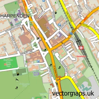
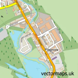
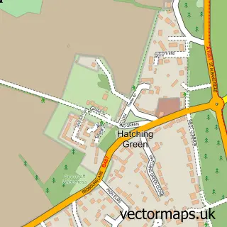
This St Albans street map is a detailed vector street map covering a 750m x 750m area. Select a larger area to create and download your own vector street map of St Albans.
The 750-metre map sample for St Albans covers 290 mapped buildings and approximately 22.5 km of road detail, of which 68 named roads are named. The immediate area includes 2 schools, 2 GP surgeries, with 7 within 2 miles, 20 pubs and 1 MOT station, with 15 within 2 miles. The wider area around St Albans features 11 tourism points of interest, 74 food and drink venues and 6 hotels. To create a larger or custom map of St Albans, the map builder lets you define your own coverage area and download editable SVG, PDF and PNG files.
Create a larger editable map of St Albans
Choose any area you need and generate a high-quality vector map instantly. Perfect for print, planning, design, business and personal use.

This St Albans street map in Hertfordshire is available as downloadable SVG, PDF and PNG map files, or as a printed map for planning, business, display, education, local information and design work. You can also create a larger custom map area using the map selector.
What this St Albans map sample shows
St Albans lies within St. Stephen Cp parish, part of St Stephen ward in the St. Albans District (B) local authority area. The postcode geography for this area includes the AL postcode area, the AL2 postcode district and the AL2 3 postcode sector. Residents fall under the Nhs Hertfordshire And West Essex Integrated Care Board for NHS services.
Local features near St Albans
Within 2 milesAmenities and services in and around St Albans.
Administrative and postcode information for St Albans
St Albans lies within St. Stephen Cp parish, part of St Stephen ward in the St. Albans District (B) local authority area. The postcode geography for this area includes the AL postcode area, the AL2 postcode district and the AL2 3 postcode sector. Residents fall under the Nhs Hertfordshire And West Essex Integrated Care Board for NHS services.
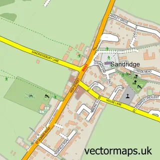
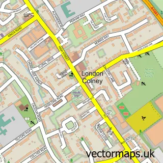
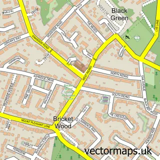
Nearby street map samples around St Albans
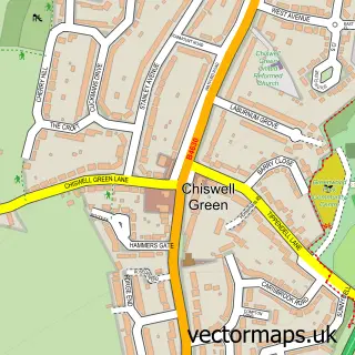
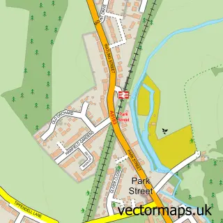
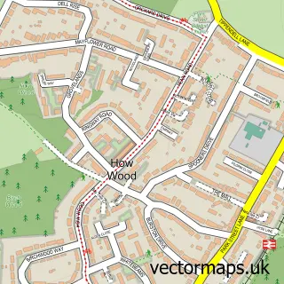
More street maps in Hertfordshire
750 metre map area coverage
Boundary, postcode and point of interest information for the 750m x 750m rectangle centred on this sample map.
Boundaries containing map centre
Constituency: St. Albans Co Const
County: Hertfordshire County
District: St. Albans District (B)
Icb: NHS Central East ICB
Police Force: hertfordshire
Postcode District: AL1
Postcode Sector: AL1 3
Ward: St. Peters Ward
Nearby boundaries intersecting sample
Postcode District: AL3
Postcode Sector: AL1 1, AL3 4, AL3 5
Ward: Batchwood Ward, Bernards Heath Ward, Verulam Ward
Postcode coverage
POI category counts
Clothing Store: 33
Professional Services: 33
Real Estate Agent: 31
Employment Agencies: 24
Restaurant: 24
Jewelry Store: 22
Advertising Agency: 20
Pub: 20
Beauty Salon: 19
Hair Salon: 19
Sample points of interest
- Rehab Clinic
- Sunrise Recovery Centre
- AIMS Accountants for Business
- Accounting For You
- Attwoods
- Connected Accounting
- Freeman Baker Associates
- Kingston Smith LLP
- Mercer and Hole
- NAS St Albans Accountants
- Roy Pinnock & Co
- Square Mile Accounting
Create a larger editable map of St Albans
This sample shows only a 750 metre area. To create a larger map of St Albans, use our map builder to choose your own coverage area, add titles and download editable SVG, PDF and PNG files.
Create a custom map of St Albans