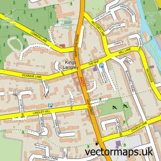
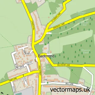
This Frogmore street map is a detailed vector street map covering a 750m x 750m area. Select a larger area to create and download your own vector street map of Frogmore.
The 750-metre map sample for Frogmore covers 137 mapped buildings and approximately 6.2 km of road detail, of which 19 named roads are named. The immediate area includes 3 GP surgeries within 2 miles, 3 pubs and 2 MOT stations, with 10 within 2 miles. The wider area around Frogmore features 2 tourism points of interest and 3 food and drink venues. To create a larger or custom map of Frogmore, the map builder lets you define your own coverage area and download editable SVG, PDF and PNG files.
Create a larger editable map of Frogmore
Choose any area you need and generate a high-quality vector map instantly. Perfect for print, planning, design, business and personal use.

This Frogmore street map in Hertfordshire is available as downloadable SVG, PDF and PNG map files, or as a printed map for planning, business, display, education, local information and design work. You can also create a larger custom map area using the map selector.
What this Frogmore map sample shows
Frogmore lies within St. Stephen Cp parish, part of Park Street ward in the St. Albans District (B) local authority area. The postcode geography for this area includes the AL postcode area, the AL2 postcode district and the AL2 2 postcode sector. Residents fall under the Nhs Hertfordshire And West Essex Integrated Care Board for NHS services.
Local features near Frogmore
Within 2 milesAmenities and services in and around Frogmore.
Administrative and postcode information for Frogmore
The local authority covering Frogmore is St. Albans District (B), within the county of Hertfordshire. The settlement lies within Park Street ward and St. Stephen Cp civil parish. The AL2 postcode district and AL2 2 postcode sector serve the immediate area. NHS provision in the area is delivered through West Hertfordshire Teaching Hospitals Nhs Trust.
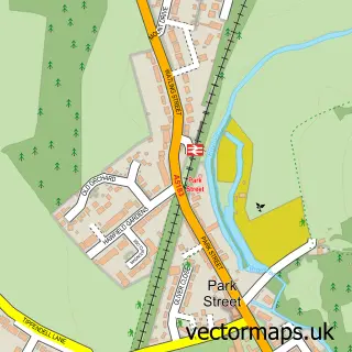
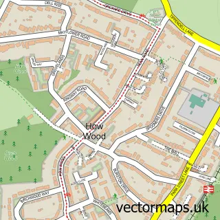
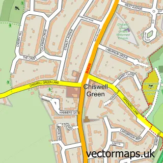
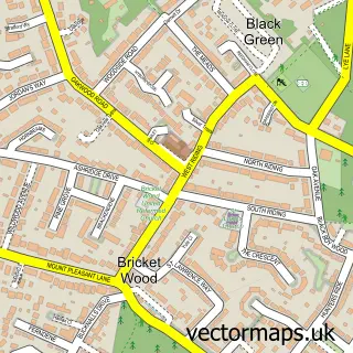
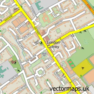
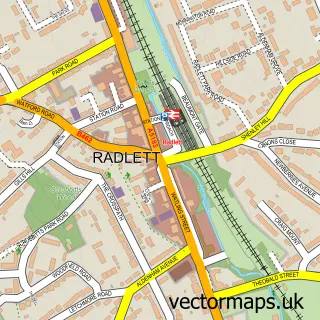
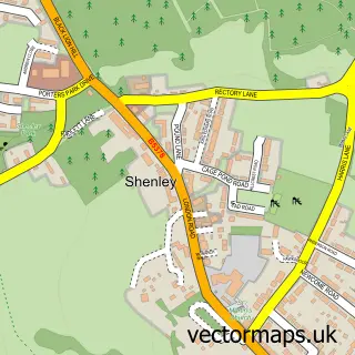
Nearby street map samples around Frogmore

More street maps in Hertfordshire
750 metre map area coverage
Boundary, postcode and point of interest information for the 750m x 750m rectangle centred on this sample map.
Boundaries containing map centre
Constituency: St. Albans Co Const
County: Hertfordshire County
District: St. Albans District (B)
Icb: NHS Central East ICB
Parish: St. Stephen CP
Police Force: hertfordshire
Postcode District: AL2
Postcode Sector: AL2 2
Ward: Park Street Ward
Nearby boundaries intersecting sample
No additional intersecting boundaries found.
Postcode coverage
POI category counts
Elementary School: 3
Pub: 3
Used Car Dealer: 3
Advertising Agency: 2
Automotive Repair: 2
Bakery: 2
Building Supply Store: 2
Car Rental Agency: 2
Car Wash: 2
Contractor: 2
Sample points of interest
- David Barnett Associates
- Fourpoints Management
- Frogmore
- P Hill Autos
- SSL
- Amys Bakehouse
- The Fairy Bake Mother
- The Dry Cleaner App
- Sweet Temptations
- Revitaglaze
- Waste King
- Enterprise Capital Management
Create a larger editable map of Frogmore
This sample shows only a 750 metre area. To create a larger map of Frogmore, use our map builder to choose your own coverage area, add titles and download editable SVG, PDF and PNG files.
Create a custom map of Frogmore