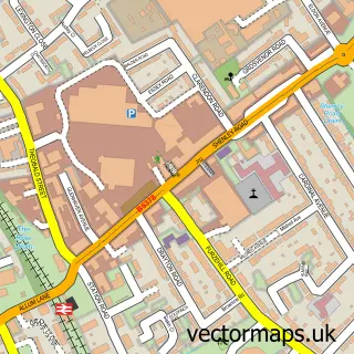
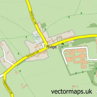
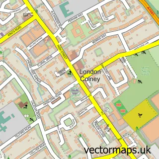
This Shenley street map is a detailed vector street map covering a 750m x 750m area. Select a larger area to create and download your own vector street map of Shenley.
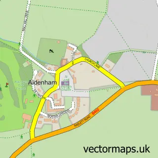
The 750-metre map sample for Shenley covers 225 mapped buildings and approximately 10.9 km of road detail, of which 19 named roads are named. The immediate area includes 1 school, 1 GP surgery within 2 miles, 1 pub and 1 MOT station within 2 miles. The wider area around Shenley features 1 food and drink venue. To create a larger or custom map of Shenley, the map builder lets you define your own coverage area and download editable SVG, PDF and PNG files.
Create a larger editable map of Shenley
Choose any area you need and generate a high-quality vector map instantly. Perfect for print, planning, design, business and personal use.

This Shenley street map in Hertfordshire is available as downloadable SVG, PDF and PNG map files, or as a printed map for planning, business, display, education, local information and design work. You can also create a larger custom map area using the map selector.
What this Shenley map sample shows
Shenley lies within Shenley Cp parish, part of Shenley ward in the Hertsmere District (B) local authority area. The postcode geography for this area includes the WD postcode area, the WD7 postcode district and the WD7 9 postcode sector. Residents fall under the Nhs Hertfordshire And West Essex Integrated Care Board for NHS services.
Local features near Shenley
Within 2 milesAmenities and services in and around Shenley.
Administrative and postcode information for Shenley
Shenley lies within Shenley Cp parish, part of Shenley ward in the Hertsmere District (B) local authority area. The postcode geography for this area includes the WD postcode area, the WD7 postcode district and the WD7 9 postcode sector. Residents fall under the Nhs Hertfordshire And West Essex Integrated Care Board for NHS services.
Nearby street map samples around Shenley

More street maps in Hertfordshire
750 metre map area coverage
Boundary, postcode and point of interest information for the 750m x 750m rectangle centred on this sample map.
Boundaries containing map centre
Constituency: Hertsmere Co Const
County: Hertfordshire County
District: Hertsmere District (B)
Icb: NHS Central East ICB
Parish: Shenley CP
Police Force: hertfordshire
Postcode District: WD7
Postcode Sector: WD7 9
Ward: Shenley Ward
Nearby boundaries intersecting sample
No additional intersecting boundaries found.
Postcode coverage
POI category counts
Anglican Church: 2
Doctor: 2
Driving School: 2
Home Service: 2
Italian Restaurant: 2
Landscape Architect: 2
Advertising Agency: 1
Auto Electrical Repair: 1
Beauty And Spa: 1
Caterer: 1
Sample points of interest
- 3d Concept & Design
- St Martin's
- St Martin's Church, Shenley
- Premium Service Electrical
- Dovers Green Clinic
- Snaffle Caterers
- Shenley Top Wok
- Shenley Methodist Church
- Shenley Village Hall
- Shenley Glassworks
- Tesco Express
- Vital Attractions
Create a larger editable map of Shenley
This sample shows only a 750 metre area. To create a larger map of Shenley, use our map builder to choose your own coverage area, add titles and download editable SVG, PDF and PNG files.
Create a custom map of Shenley