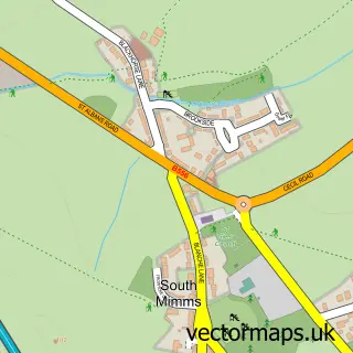
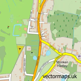
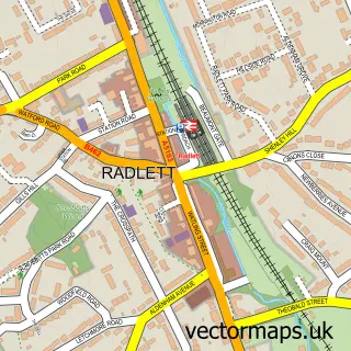
This Ridge street map is a detailed vector street map covering a 750m x 750m area. Select a larger area to create and download your own vector street map of Ridge.
The 750-metre map sample for Ridge covers 58 mapped buildings and approximately 8.8 km of road detail, of which 3 named roads are named. The immediate area includes 1 pub and 1 MOT station within 2 miles. The wider area around Ridge features 1 tourism point of interest and 1 food and drink venue. To create a larger or custom map of Ridge, the map builder lets you define your own coverage area and download editable SVG, PDF and PNG files.
Create a larger editable map of Ridge
Choose any area you need and generate a high-quality vector map instantly. Perfect for print, planning, design, business and personal use.

This Ridge street map in Hertfordshire is available as downloadable SVG, PDF and PNG map files, or as a printed map for planning, business, display, education, local information and design work. You can also create a larger custom map area using the map selector.
What this Ridge map sample shows
Ridge lies within South Mimms And Ridge Cp parish, part of Shenley ward in the Hertsmere District (B) local authority area. The postcode geography for this area includes the EN postcode area, the EN6 postcode district and the EN6 3 postcode sector. Residents fall under the Nhs Hertfordshire And West Essex Integrated Care Board for NHS services.
Local features near Ridge
Within 2 milesAmenities and services in and around Ridge.
Administrative and postcode information for Ridge
Ridge lies within South Mimms And Ridge Cp parish, part of Shenley ward in the Hertsmere District (B) local authority area. The postcode geography for this area includes the EN postcode area, the EN6 postcode district and the EN6 3 postcode sector. Residents fall under the Nhs Hertfordshire And West Essex Integrated Care Board for NHS services.
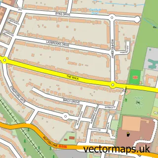
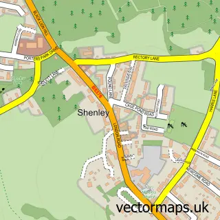
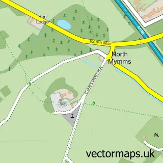
Nearby street map samples around Ridge

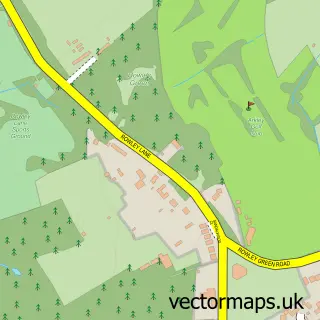
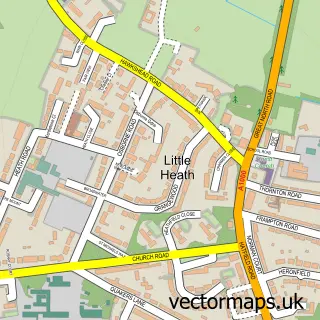
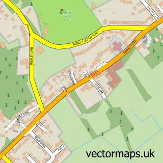
More street maps in Hertfordshire
750 metre map area coverage
Boundary, postcode and point of interest information for the 750m x 750m rectangle centred on this sample map.
Boundaries containing map centre
Constituency: Hertsmere Co Const
County: Hertfordshire County
District: Hertsmere District (B)
Icb: NHS Central East ICB
Parish: South Mimms and Ridge CP
Police Force: hertfordshire
Postcode District: EN6
Postcode Sector: EN6 3
Ward: Shenley Ward
Nearby boundaries intersecting sample
Postcode District: WD6
Postcode Sector: WD6 5
Postcode coverage
POI category counts
Anglican Church: 1
Building Supply Store: 1
Church Cathedral: 1
Construction Services: 1
Event Planning: 1
Landmark And Historical Building: 1
Medical Research And Development: 1
Preschool: 1
Professional Services: 1
Pub: 1
Sample points of interest
- St Margaret's
- Batemans
- Saint Margarets Church of England
- What 4 Building Solutions Ltd
- Ridge Village Hall
- Ridge
- NIBSC
- Hopscotch
- National Institute For Biological Standards & Controls
- The Old Guinea Restaurant
Create a larger editable map of Ridge
This sample shows only a 750 metre area. To create a larger map of Ridge, use our map builder to choose your own coverage area, add titles and download editable SVG, PDF and PNG files.
Create a custom map of Ridge