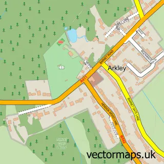
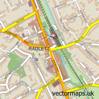
This Arkley street map is a detailed vector street map covering a 750m x 750m area. Select a larger area to create and download your own vector street map of Arkley.
The 750-metre map sample for Arkley covers 200 mapped buildings and approximately 8.8 km of road detail, of which 16 named roads are named. The immediate area includes 4 GP surgeries within 2 miles, 2 pubs and 11 MOT stations within 2 miles. The wider area around Arkley features 1 tourism point of interest and 3 food and drink venues. To create a larger or custom map of Arkley, the map builder lets you define your own coverage area and download editable SVG, PDF and PNG files.
Create a larger editable map of Arkley
Choose any area you need and generate a high-quality vector map instantly. Perfect for print, planning, design, business and personal use.

This Arkley street map in Greater London is available as downloadable SVG, PDF and PNG map files, or as a printed map for planning, business, display, education, local information and design work. You can also create a larger custom map area using the map selector.
What this Arkley map sample shows
Arkley lies within Greater London Authority parish, part of High Barnet ward in the Barnet London Boro local authority area. The postcode geography for this area includes the EN postcode area, the EN5 postcode district and the EN5 3 postcode sector. Residents fall under the Nhs North Central London Integrated Care Board for NHS services.
Local features near Arkley
Within 2 milesAmenities and services in and around Arkley.
Administrative and postcode information for Arkley
Arkley lies within Greater London Authority parish, part of High Barnet ward in the Barnet London Boro local authority area. The postcode geography for this area includes the EN postcode area, the EN5 postcode district and the EN5 3 postcode sector. Residents fall under the Nhs North Central London Integrated Care Board for NHS services.
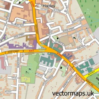
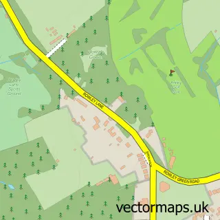
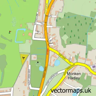
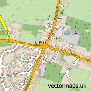
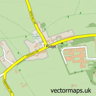
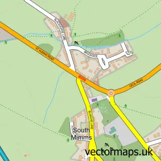
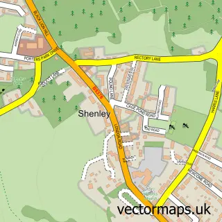
Nearby street map samples around Arkley

More street maps in Greater London
750 metre map area coverage
Boundary, postcode and point of interest information for the 750m x 750m rectangle centred on this sample map.
Boundaries containing map centre
Constituency: Chipping Barnet Boro Const
County: Greater London Authority
District: Barnet London Boro
Icb: NHS West and North London IC
Police Force: metropolitan
Postcode District: EN5
Postcode Sector: EN5 3
Ward: High Barnet Ward
Nearby boundaries intersecting sample
Postcode Sector: EN5 2
Postcode coverage
POI category counts
Automotive Repair: 2
Pub: 2
Retirement Home: 2
Active Life: 1
Anglican Church: 1
Auto Company: 1
Auto Detailing: 1
Bakery: 1
Car Dealer: 1
Car Wash: 1
Sample points of interest
- The Arkley 9
- St Peter
- Marsel's Evolution E28 Black Eagle
- Arkley Hand Car Wash
- A Z Motorcycles
- Murphy Motors ltd
- The Little Cake & Cookie Co
- The TVR Centre
- Arkley Hand Car Wash
- St Peter's Church
- R.A.D Electrical
- Arkley Golf Club
Create a larger editable map of Arkley
This sample shows only a 750 metre area. To create a larger map of Arkley, use our map builder to choose your own coverage area, add titles and download editable SVG, PDF and PNG files.
Create a custom map of Arkley