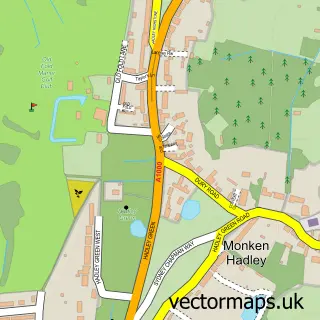
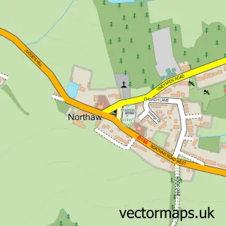
This Chipping Barnet street map is a detailed vector street map covering a 750m x 750m area. Select a larger area to create and download your own vector street map of Chipping Barnet.
The 750-metre map sample for Chipping Barnet covers 332 mapped buildings and approximately 19.4 km of road detail, of which 43 named roads are named. The immediate area includes 4 schools, 1 GP surgery, with 6 within 2 miles, 6 pubs and 2 MOT stations, with 13 within 2 miles. The wider area around Chipping Barnet features 7 tourism points of interest, 30 food and drink venues and 1 hotel. To create a larger or custom map of Chipping Barnet, the map builder lets you define your own coverage area and download editable SVG, PDF and PNG files.
Create a larger editable map of Chipping Barnet
Choose any area you need and generate a high-quality vector map instantly. Perfect for print, planning, design, business and personal use.

This Chipping Barnet street map in Greater London is available as downloadable SVG, PDF and PNG map files, or as a printed map for planning, business, display, education, local information and design work. You can also create a larger custom map area using the map selector.
What this Chipping Barnet map sample shows
Chipping Barnet lies within Greater London Authority parish, part of High Barnet ward in the Barnet London Boro local authority area. The postcode geography for this area includes the EN postcode area, the EN5 postcode district and the EN5 5 postcode sector. Residents fall under the Nhs North Central London Integrated Care Board for NHS services.
Local features near Chipping Barnet
Within 2 milesAmenities and services in and around Chipping Barnet.
Administrative and postcode information for Chipping Barnet
The local authority covering Chipping Barnet is Barnet London Boro, within the county of Greater London. The settlement lies within High Barnet ward and Greater London Authority civil parish. The EN5 postcode district and EN5 5 postcode sector serve the immediate area. NHS provision in the area is delivered through Royal Free London Nhs Foundation Trust.
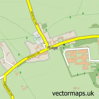
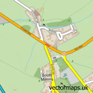
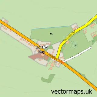
Nearby street map samples around Chipping Barnet

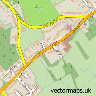
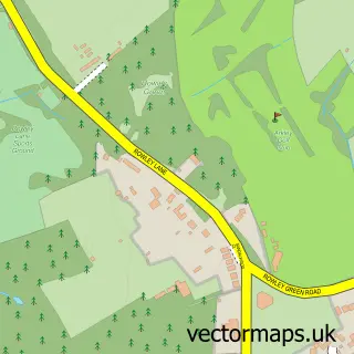
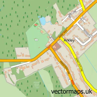
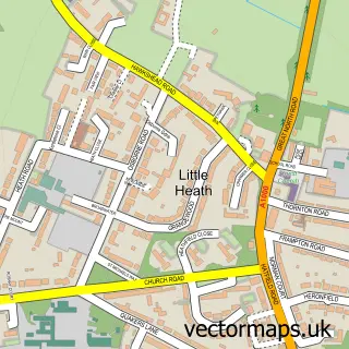
More street maps in Greater London
750 metre map area coverage
Boundary, postcode and point of interest information for the 750m x 750m rectangle centred on this sample map.
Boundaries containing map centre
Constituency: Chipping Barnet Boro Const
County: Greater London Authority
District: Barnet London Boro
Icb: NHS West and North London IC
Police Force: metropolitan
Postcode District: EN5
Postcode Sector: EN5 4
Ward: High Barnet Ward
Nearby boundaries intersecting sample
Postcode Sector: EN5 2, EN5 5
Ward: Barnet Vale Ward, Underhill Ward
Postcode coverage
POI category counts
Professional Services: 14
Real Estate Agent: 12
Clothing Store: 11
Coffee Shop: 10
Bakery: 9
Building Supply Store: 8
Charity Organization: 8
Hair Salon: 8
Legal Services: 8
Mobile Phone Store: 8
Sample points of interest
- AIMS Accountants for Business
- BBK Partnership Barnet
- BBKCA
- Bbk Internet Ltd.
- Cartwrights
- Lawrence Nudds & Co.
- Barnet Bowls Club
- Chinese Medical Centre
- Nature & Health
- Twin Bridge of London
- AccuraCast
- DMGD Design Collective
Create a larger editable map of Chipping Barnet
This sample shows only a 750 metre area. To create a larger map of Chipping Barnet, use our map builder to choose your own coverage area, add titles and download editable SVG, PDF and PNG files.
Create a custom map of Chipping Barnet