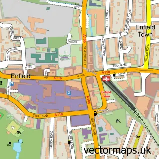
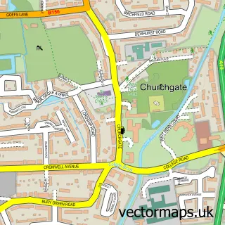
This Botany Bay street map is a detailed vector street map covering a 750m x 750m area. Select a larger area to create and download your own vector street map of Botany Bay.
The 750-metre map sample for Botany Bay covers 59 mapped buildings and approximately 10.7 km of road detail, of which 2 named roads are named. The immediate area includes 1 GP surgery within 2 miles, 2 pubs and 1 MOT station within 2 miles. The wider area around Botany Bay features 2 food and drink venues. To create a larger or custom map of Botany Bay, the map builder lets you define your own coverage area and download editable SVG, PDF and PNG files.
Create a larger editable map of Botany Bay
Choose any area you need and generate a high-quality vector map instantly. Perfect for print, planning, design, business and personal use.

This Botany Bay street map in Greater London is available as downloadable SVG, PDF and PNG map files, or as a printed map for planning, business, display, education, local information and design work. You can also create a larger custom map area using the map selector.
What this Botany Bay map sample shows
Botany Bay lies within Greater London Authority parish, part of Chase ward in the Enfield London Boro local authority area. The postcode geography for this area includes the EN postcode area, the EN2 postcode district and the EN2 8 postcode sector. Residents fall under the Nhs North Central London Integrated Care Board for NHS services.
Local features near Botany Bay
Within 2 milesAmenities and services in and around Botany Bay.
Administrative and postcode information for Botany Bay
Botany Bay lies within Greater London Authority parish, part of Chase ward in the Enfield London Boro local authority area. The postcode geography for this area includes the EN postcode area, the EN2 postcode district and the EN2 8 postcode sector. Residents fall under the Nhs North Central London Integrated Care Board for NHS services.
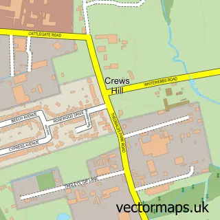
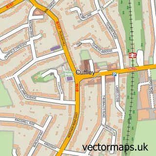
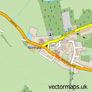
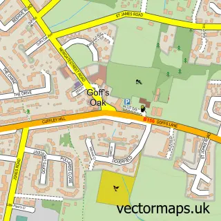
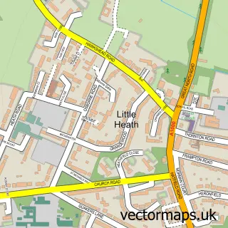
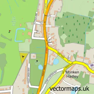
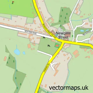
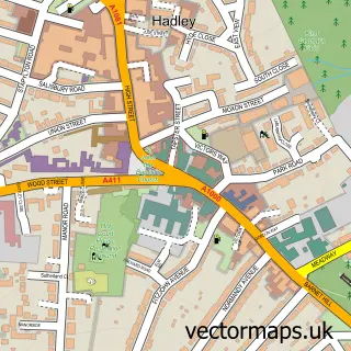
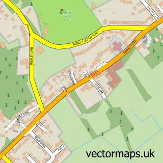
Nearby street map samples around Botany Bay

More street maps in Greater London
750 metre map area coverage
Boundary, postcode and point of interest information for the 750m x 750m rectangle centred on this sample map.
Boundaries containing map centre
Constituency: Enfield North Boro Const
County: Greater London Authority
District: Enfield London Boro
Icb: NHS West and North London IC
Police Force: metropolitan
Postcode District: EN2
Postcode Sector: EN2 8
Ward: Ridgeway Ward
Nearby boundaries intersecting sample
No additional intersecting boundaries found.
Postcode coverage
POI category counts
Antique Store: 3
Pub: 2
Agriculture: 1
Auto Electrical Repair: 1
Bar: 1
Beauty And Spa: 1
Car Dealer: 1
Carpenter: 1
Child Care And Day Care: 1
Cricket Ground: 1
Sample points of interest
- Rectory Farm, Enfield
- Antique & Modern Upholstery
- Antique & Modern Upholstery
- East Lodge Antiques
- Field Group Ltd. T/A Field Electrical Services
- Googlies Jazz Supper Club
- Azelia's Aesthetics London
- La Car Sales
- Proten Services
- Serenity Welfare Ltd
- Botany Bay Cricket Club
- Thalia Distribution & Training Academy
Create a larger editable map of Botany Bay
This sample shows only a 750 metre area. To create a larger map of Botany Bay, use our map builder to choose your own coverage area, add titles and download editable SVG, PDF and PNG files.
Create a custom map of Botany Bay