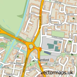
This Crews Hill street map is a detailed vector street map covering a 750m x 750m area. Select a larger area to create and download your own vector street map of Crews Hill.
The 750-metre map sample for Crews Hill covers 236 mapped buildings and approximately 8.6 km of road detail, of which 10 named roads are named. The immediate area includes 5 GP surgeries within 2 miles, 1 pub and 4 MOT stations within 2 miles. The wider area around Crews Hill features 1 tourism point of interest, 8 food and drink venues and 1 campsite within 2 miles. To create a larger or custom map of Crews Hill, the map builder lets you define your own coverage area and download editable SVG, PDF and PNG files.
Create a larger editable map of Crews Hill
Choose any area you need and generate a high-quality vector map instantly. Perfect for print, planning, design, business and personal use.

This Crews Hill street map in Greater London is available as downloadable SVG, PDF and PNG map files, or as a printed map for planning, business, display, education, local information and design work. You can also create a larger custom map area using the map selector.
What this Crews Hill map sample shows
Crews Hill lies within Greater London Authority parish, part of Chase ward in the Enfield London Boro local authority area. The postcode geography for this area includes the EN postcode area, the EN2 postcode district and the EN2 9 postcode sector. Residents fall under the Nhs North Central London Integrated Care Board for NHS services.
Local features near Crews Hill
Within 2 milesAmenities and services in and around Crews Hill.
Administrative and postcode information for Crews Hill
The local authority covering Crews Hill is Enfield London Boro, within the county of Greater London. The settlement lies within Chase ward and Greater London Authority civil parish. The EN2 postcode district and EN2 9 postcode sector serve the immediate area. NHS provision in the area is delivered through Royal Free London Nhs Foundation Trust.
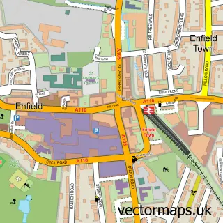
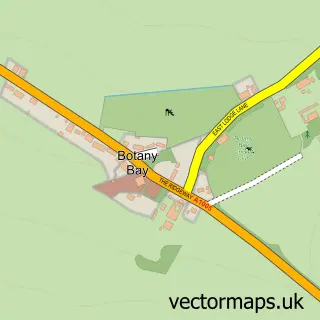
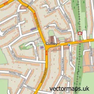
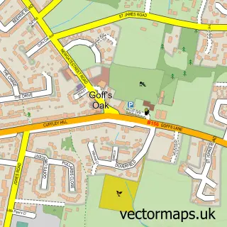
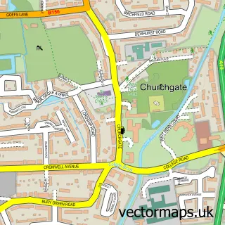
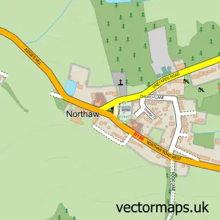
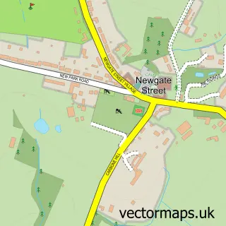
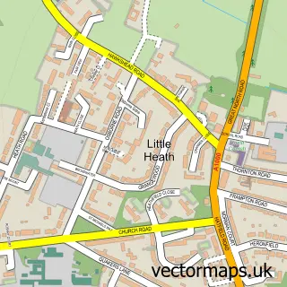
Nearby street map samples around Crews Hill

More street maps in Greater London
750 metre map area coverage
Boundary, postcode and point of interest information for the 750m x 750m rectangle centred on this sample map.
Boundaries containing map centre
Constituency: Enfield North Boro Const
County: Greater London Authority
District: Enfield London Boro
Icb: NHS West and North London IC
Police Force: metropolitan
Postcode District: EN2
Postcode Sector: EN2 9
Ward: Whitewebbs Ward
Nearby boundaries intersecting sample
No additional intersecting boundaries found.
Postcode coverage
POI category counts
Nursery And Gardening: 9
Pet Store: 5
Building Supply Store: 4
Cafe: 4
Furniture Store: 4
Retail: 4
Aquatic Pet Store: 3
Beauty Salon: 3
Building Contractor: 2
Car Dealer: 2
Sample points of interest
- Stoneage Architectural
- Heartfelt Hands Therapies
- Nostalgia And New Reclamation Centre
- Home Marine
- Maidenhead Aquatics
- Maidenhead Aquatics
- Sarahjamesgallery
- Shed Load Of Crafts
- Pots of Art Crews Hill
- Carols Balloons
- Zena's Hair Design & Beauty & Barbers
- Zena's Hair Design
Create a larger editable map of Crews Hill
This sample shows only a 750 metre area. To create a larger map of Crews Hill, use our map builder to choose your own coverage area, add titles and download editable SVG, PDF and PNG files.
Create a custom map of Crews Hill