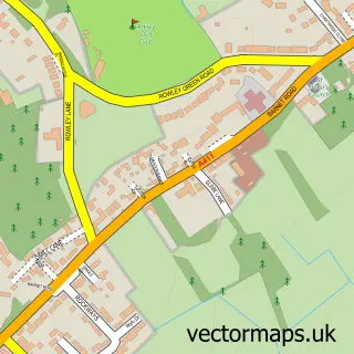
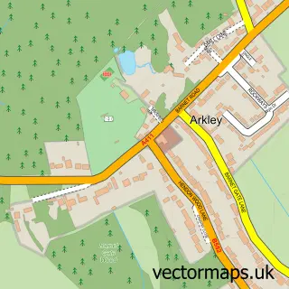
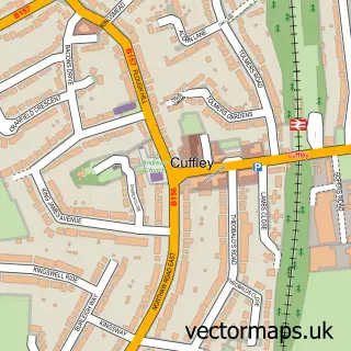
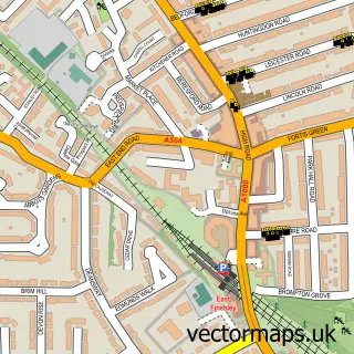
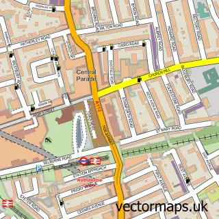
This Wood Green street map is a detailed vector street map covering a 750m x 750m area. Select a larger area to create and download your own vector street map of Wood Green.
The 750-metre map sample for Wood Green covers 268 mapped buildings and approximately 21.3 km of road detail, of which 53 named roads are named. The immediate area includes 4 schools, 1 railway station, 3 GP surgeries, with 39 within 2 miles and 7 pubs among other local services. The wider area around Wood Green features 6 tourism points of interest, 36 food and drink venues and 3 hotels. To create a larger or custom map of Wood Green, the map builder lets you define your own coverage area and download editable SVG, PDF and PNG files.
Create a larger editable map of Wood Green
Choose any area you need and generate a high-quality vector map instantly. Perfect for print, planning, design, business and personal use.

This Wood Green street map in Greater London is available as downloadable SVG, PDF and PNG map files, or as a printed map for planning, business, display, education, local information and design work. You can also create a larger custom map area using the map selector.
What this Wood Green map sample shows
Wood Green lies within Greater London Authority parish, part of Noel Park ward in the Haringey London Boro local authority area. The postcode geography for this area includes the N postcode area, the N22 postcode district and the N22 6 postcode sector. Residents fall under the Nhs North Central London Integrated Care Board for NHS services.
Local features near Wood Green
Within 2 milesAmenities and services in and around Wood Green.
Administrative and postcode information for Wood Green
Wood Green lies within Greater London Authority parish, part of Noel Park ward in the Haringey London Boro local authority area. The postcode geography for this area includes the N postcode area, the N22 postcode district and the N22 6 postcode sector. Residents fall under the Nhs North Central London Integrated Care Board for NHS services.
Nearby street map samples around Wood Green

More street maps in Greater London
750 metre map area coverage
Boundary, postcode and point of interest information for the 750m x 750m rectangle centred on this sample map.
Boundaries containing map centre
Constituency: Southgate and Wood Green Boro Const
County: Greater London Authority
District: Haringey London Boro
Icb: NHS West and North London IC
Police Force: metropolitan
Postcode District: N22
Postcode Sector: N22 8
Ward: Noel Park Ward
Nearby boundaries intersecting sample
Postcode District: N8
Postcode Sector: N22 5, N22 6, N22 7, N8 0
Ward: Woodside Ward
Postcode coverage
POI category counts
Fast Food Restaurant: 21
Clothing Store: 20
Professional Services: 18
Gym: 12
Beauty Salon: 11
Mens Clothing Store: 11
Cafe: 10
Coffee Shop: 10
Mobile Phone Store: 8
Restaurant: 8
Sample points of interest
- Ambiz
- Dogan Accountancy - Muhasebe Ofisi
- PA Advice
- PolStar
- Polish House
- Polskie Biuro Ksiegowe Ambiz
- TaxAssist Accountants
- Stageland Tutors UK
- St Mark's Church
- St Michael's Church
- St Michael, Wood Green
- The Parish Church of St Mark the Evangelist - Noel Park
Create a larger editable map of Wood Green
This sample shows only a 750 metre area. To create a larger map of Wood Green, use our map builder to choose your own coverage area, add titles and download editable SVG, PDF and PNG files.
Create a custom map of Wood Green