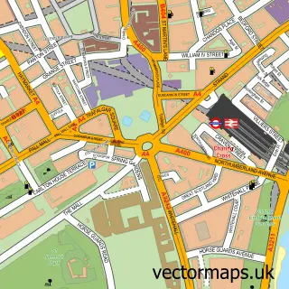
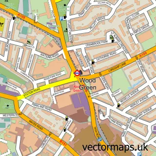
This Hampstead street map is a detailed vector street map covering a 750m x 750m area. Select a larger area to create and download your own vector street map of Hampstead.
The 750-metre map sample for Hampstead covers 348 mapped buildings and approximately 24.9 km of road detail, of which 75 named roads are named. The immediate area includes 10 schools, 1 railway station, 43 GP surgeries within 2 miles and 11 pubs among other local services. The wider area around Hampstead features 10 tourism points of interest, 37 food and drink venues and 4 hotels. To create a larger or custom map of Hampstead, the map builder lets you define your own coverage area and download editable SVG, PDF and PNG files.
Create a larger editable map of Hampstead
Choose any area you need and generate a high-quality vector map instantly. Perfect for print, planning, design, business and personal use.

This Hampstead street map in Greater London is available as downloadable SVG, PDF and PNG map files, or as a printed map for planning, business, display, education, local information and design work. You can also create a larger custom map area using the map selector.
What this Hampstead map sample shows
Hampstead lies within Greater London Authority parish, part of Frognal And Fitzjohns ward in the Camden London Boro local authority area. The postcode geography for this area includes the NW postcode area, the NW3 postcode district and the NW3 6 postcode sector. Residents fall under the Nhs North Central London Integrated Care Board for NHS services.
Local features near Hampstead
Within 2 milesAmenities and services in and around Hampstead.
Administrative and postcode information for Hampstead
Hampstead lies within Greater London Authority parish, part of Frognal And Fitzjohns ward in the Camden London Boro local authority area. The postcode geography for this area includes the NW postcode area, the NW3 postcode district and the NW3 6 postcode sector. Residents fall under the Nhs North Central London Integrated Care Board for NHS services.
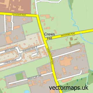
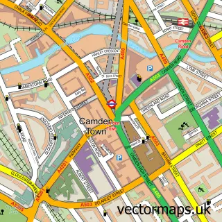
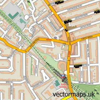
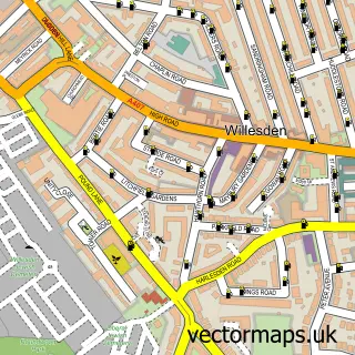
Nearby street map samples around Hampstead

More street maps in Greater London
750 metre map area coverage
Boundary, postcode and point of interest information for the 750m x 750m rectangle centred on this sample map.
Boundaries containing map centre
Constituency: Hampstead and Highgate Boro Const
County: Greater London Authority
District: Camden London Boro
Icb: NHS West and North London IC
Police Force: metropolitan
Postcode District: NW3
Postcode Sector: NW3 6
Ward: Hampstead Town Ward
Nearby boundaries intersecting sample
Postcode Sector: NW3 1, NW3 2, NW3 5, NW3 7
Ward: Frognal Ward
Postcode coverage
POI category counts
Clothing Store: 22
Real Estate Agent: 21
Coffee Shop: 11
Pub: 11
Art Gallery: 10
Church Cathedral: 10
Hair Salon: 10
Jewelry Store: 10
Restaurant: 10
Childrens Clothing Store: 9
Sample points of interest
- Emarketeers
- James Dawson Therapy
- St John Hampstead
- Antique Textiles Company LLP
- Cancer Research UK
- Esther Fitzgerald Rare Textiles
- Hampstead Antique and Collectors fair
- Hampstead Antique and Craft Emporium
- Mary's Living & Giving Shop
- Noa Ram Architectural & Interior Design
- Square Feet Architects
- Ungar Architects
Create a larger editable map of Hampstead
This sample shows only a 750 metre area. To create a larger map of Hampstead, use our map builder to choose your own coverage area, add titles and download editable SVG, PDF and PNG files.
Create a custom map of Hampstead