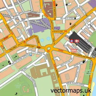
This East Finchley street map is a detailed vector street map covering a 750m x 750m area. Select a larger area to create and download your own vector street map of East Finchley.
The 750-metre map sample for East Finchley covers 334 mapped buildings and approximately 20.9 km of road detail, of which 48 named roads are named. The immediate area includes 1 primary school and 1 secondary school, 1 railway station, 1 GP surgery, with 29 within 2 miles and 5 pubs among other local services. The wider area around East Finchley features 1 tourism point of interest and 18 food and drink venues. To create a larger or custom map of East Finchley, the map builder lets you define your own coverage area and download editable SVG, PDF and PNG files.
Create a larger editable map of East Finchley
Choose any area you need and generate a high-quality vector map instantly. Perfect for print, planning, design, business and personal use.

This East Finchley street map in Greater London is available as downloadable SVG, PDF and PNG map files, or as a printed map for planning, business, display, education, local information and design work. You can also create a larger custom map area using the map selector.
What this East Finchley map sample shows
East Finchley lies within Greater London Authority parish, part of Woodhouse ward in the Barnet London Boro local authority area. The postcode geography for this area includes the N postcode area, the N12 postcode district and the N12 0 postcode sector. Residents fall under the Nhs North Central London Integrated Care Board for NHS services.
Local features near East Finchley
Within 2 milesAmenities and services in and around East Finchley.
Administrative and postcode information for East Finchley
East Finchley lies within Greater London Authority parish, part of Woodhouse ward in the Barnet London Boro local authority area. The postcode geography for this area includes the N postcode area, the N12 postcode district and the N12 0 postcode sector. Residents fall under the Nhs North Central London Integrated Care Board for NHS services.
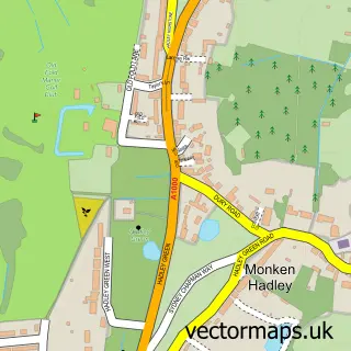
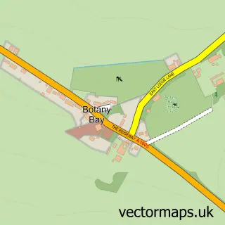
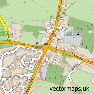
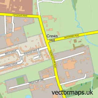
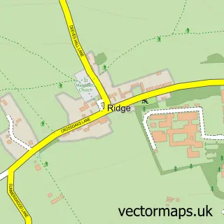
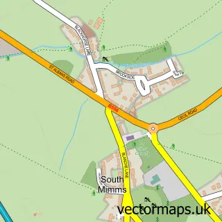
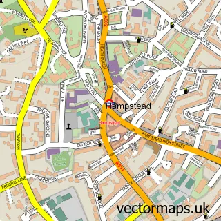
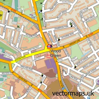
Nearby street map samples around East Finchley
More street maps in Greater London
750 metre map area coverage
Boundary, postcode and point of interest information for the 750m x 750m rectangle centred on this sample map.
Boundaries containing map centre
Constituency: Finchley and Golders Green Boro Const
County: Greater London Authority
District: Barnet London Boro
Icb: NHS West and North London IC
Police Force: metropolitan
Postcode District: N2
Postcode Sector: N2 8
Ward: East Finchley Ward
Nearby boundaries intersecting sample
Postcode Sector: N2 0, N2 9
Ward: Garden Suburb Ward
Postcode coverage
POI category counts
Beauty Salon: 9
Cafe: 6
Coffee Shop: 6
Dentist: 6
Professional Services: 6
Key And Locksmith: 5
Pub: 5
Retail: 5
Acupuncture: 4
Beauty And Spa: 4
Sample points of interest
- Abacus Bureau Accountants
- Badao
- Japanese Acupuncture Clinic
- Traditional Japanese Acupuncture
- Ying Yang Chinese Medical Centre
- Top Liger Media
- Total Design
- Craniosacral Therapy
- East Finchley Electrcial Contractors Ltd.
- MillsPower Architecture
- Offshoot Gallery
- Garden Suburb Community Library
Create a larger editable map of East Finchley
This sample shows only a 750 metre area. To create a larger map of East Finchley, use our map builder to choose your own coverage area, add titles and download editable SVG, PDF and PNG files.
Create a custom map of East Finchley