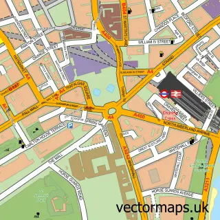
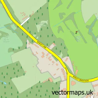
This Willesden street map is a detailed vector street map covering a 750m x 750m area. Select a larger area to create and download your own vector street map of Willesden.
The 750-metre map sample for Willesden covers 265 mapped buildings and approximately 23.0 km of road detail, of which 41 named roads are named. The immediate area includes 1 school, 1 GP surgery, with 38 within 2 miles, 1 pub and 2 MOT stations, with 57 within 2 miles. The wider area around Willesden features 3 tourism points of interest and 15 food and drink venues. To create a larger or custom map of Willesden, the map builder lets you define your own coverage area and download editable SVG, PDF and PNG files.
Create a larger editable map of Willesden
Choose any area you need and generate a high-quality vector map instantly. Perfect for print, planning, design, business and personal use.

This Willesden street map in Greater London is available as downloadable SVG, PDF and PNG map files, or as a printed map for planning, business, display, education, local information and design work. You can also create a larger custom map area using the map selector.
What this Willesden map sample shows
Willesden lies within Greater London Authority parish, part of Willesden Green ward in the Brent London Boro local authority area. The postcode geography for this area includes the NW postcode area, the NW10 postcode district and the NW10 2 postcode sector. Residents fall under the Nhs North West London Integrated Care Board for NHS services.
Local features near Willesden
Within 2 milesAmenities and services in and around Willesden.
Administrative and postcode information for Willesden
Willesden lies within Greater London Authority parish, part of Willesden Green ward in the Brent London Boro local authority area. The postcode geography for this area includes the NW postcode area, the NW10 postcode district and the NW10 2 postcode sector. Residents fall under the Nhs North West London Integrated Care Board for NHS services.
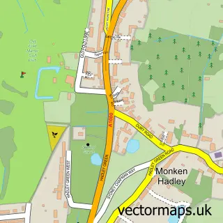
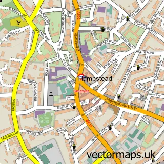
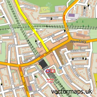
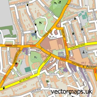
Nearby street map samples around Willesden

More street maps in Greater London
750 metre map area coverage
Boundary, postcode and point of interest information for the 750m x 750m rectangle centred on this sample map.
Boundaries containing map centre
Constituency: Brent East Boro Const
County: Greater London Authority
District: Brent London Boro
Icb: NHS West and North London IC
Police Force: metropolitan
Postcode District: NW10
Postcode Sector: NW10 2
Ward: Roundwood Ward
Nearby boundaries intersecting sample
Postcode District: NW2
Postcode Sector: NW10 1, NW10 3, NW2 5
Ward: Brondesbury Park Ward, Willesden Green Ward
Postcode coverage
POI category counts
Beauty Salon: 14
Restaurant: 11
Fast Food Restaurant: 7
Professional Services: 7
Automotive Repair: 6
Butcher Shop: 6
Church Cathedral: 6
Clothing Store: 6
Grocery Store: 6
Pizza Restaurant: 6
Sample points of interest
- Pro Tax Solutions
- World Opportunities & Services - UK
- Brand Boosters Global (UK)
- Southend on Sea
- Peekaboo Vintage Clothing
- Willesden Green Architectural Salvage
- Willesden Joinery Company
- MJQ
- Nawaz Restaurant London
- Artisan
- Franklin Lodge
- PayPoint
Create a larger editable map of Willesden
This sample shows only a 750 metre area. To create a larger map of Willesden, use our map builder to choose your own coverage area, add titles and download editable SVG, PDF and PNG files.
Create a custom map of Willesden