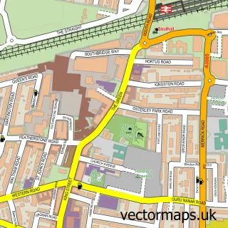
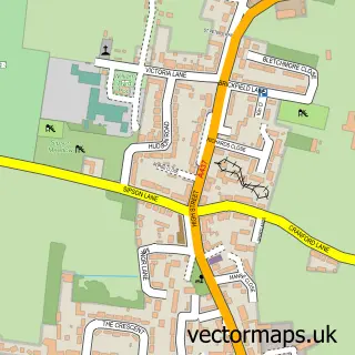
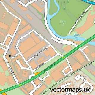
This Ealing street map is a detailed vector street map covering a 750m x 750m area. Select a larger area to create and download your own vector street map of Ealing.
The 750-metre map sample for Ealing covers 238 mapped buildings and approximately 15.9 km of road detail, of which 27 named roads are named. The immediate area includes 4 schools, 1 railway station, 34 GP surgeries within 2 miles and 11 pubs among other local services. The wider area around Ealing features 7 tourism points of interest, 73 food and drink venues and 3 hotels. To create a larger or custom map of Ealing, the map builder lets you define your own coverage area and download editable SVG, PDF and PNG files.
Create a larger editable map of Ealing
Choose any area you need and generate a high-quality vector map instantly. Perfect for print, planning, design, business and personal use.

This Ealing street map in Greater London is available as downloadable SVG, PDF and PNG map files, or as a printed map for planning, business, display, education, local information and design work. You can also create a larger custom map area using the map selector.
What this Ealing map sample shows
Ealing lies within Greater London Authority parish, part of Walpole ward in the Ealing London Boro local authority area. The postcode geography for this area includes the W postcode area, the W5 postcode district and the W5 5 postcode sector. Residents fall under the Nhs North West London Integrated Care Board for NHS services.
Local features near Ealing
Within 2 milesAmenities and services in and around Ealing.
Administrative and postcode information for Ealing
Ealing lies within Greater London Authority parish, part of Walpole ward in the Ealing London Boro local authority area. The postcode geography for this area includes the W postcode area, the W5 postcode district and the W5 5 postcode sector. Residents fall under the Nhs North West London Integrated Care Board for NHS services.
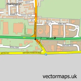
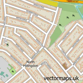
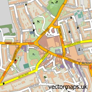
Nearby street map samples around Ealing


More street maps in Greater London
750 metre map area coverage
Boundary, postcode and point of interest information for the 750m x 750m rectangle centred on this sample map.
Boundaries containing map centre
Constituency: Ealing Central and Acton Boro Const
County: Greater London Authority
District: Ealing London Boro
Icb: NHS West and North London IC
Police Force: metropolitan
Postcode District: W5
Postcode Sector: W5 5
Ward: Ealing Broadway Ward
Nearby boundaries intersecting sample
Constituency: Ealing Southall Boro Const
Postcode Sector: W5 2, W5 3
Ward: Ealing Common Ward, Hanger Hill Ward, Walpole Ward
Postcode coverage
POI category counts
Beauty Salon: 26
Coffee Shop: 25
Hair Salon: 25
Real Estate Agent: 23
Restaurant: 20
Cafe: 17
Clothing Store: 16
Professional Services: 16
Fast Food Restaurant: 15
Employment Agencies: 14
Sample points of interest
- Central Studios
- The Mall
- Webster Gardens
- Biuro Ksiegowe Londyn
- Cloud Tax Ltd
- Expert Accounting & Finance
- Gold Accounting Ltd
- PolAcc
- TaxAssist Accountants
- Vinsam Ltd.
- Cashino Gaming
- SA Dance
Create a larger editable map of Ealing
This sample shows only a 750 metre area. To create a larger map of Ealing, use our map builder to choose your own coverage area, add titles and download editable SVG, PDF and PNG files.
Create a custom map of Ealing