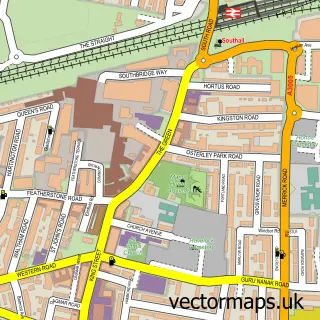
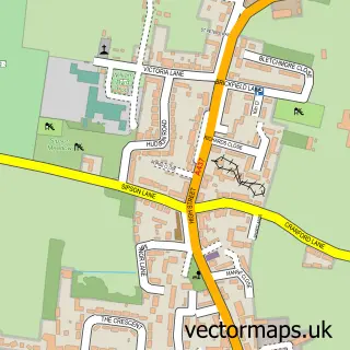
This Chiswick street map is a detailed vector street map covering a 750m x 750m area. Select a larger area to create and download your own vector street map of Chiswick.
The 750-metre map sample for Chiswick covers 247 mapped buildings and approximately 22.8 km of road detail, of which 54 named roads are named. The immediate area includes 2 schools, 1 railway station, 4 GP surgeries, with 38 within 2 miles and 4 pubs among other local services. The wider area around Chiswick features 13 tourism points of interest, 19 food and drink venues and 3 hotels. To create a larger or custom map of Chiswick, the map builder lets you define your own coverage area and download editable SVG, PDF and PNG files.
Create a larger editable map of Chiswick
Choose any area you need and generate a high-quality vector map instantly. Perfect for print, planning, design, business and personal use.

This Chiswick street map in Greater London is available as downloadable SVG, PDF and PNG map files, or as a printed map for planning, business, display, education, local information and design work. You can also create a larger custom map area using the map selector.
What this Chiswick map sample shows
Chiswick lies within Greater London Authority parish, part of Chiswick Homefields ward in the Hounslow London Boro local authority area. The postcode geography for this area includes the W postcode area, the W4 postcode district and the W4 2 postcode sector. Residents fall under the Nhs North West London Integrated Care Board for NHS services.
Local features near Chiswick
Within 2 milesAmenities and services in and around Chiswick.
Administrative and postcode information for Chiswick
Chiswick lies within Greater London Authority parish, part of Chiswick Homefields ward in the Hounslow London Boro local authority area. The postcode geography for this area includes the W postcode area, the W4 postcode district and the W4 2 postcode sector. Residents fall under the Nhs North West London Integrated Care Board for NHS services.
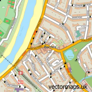
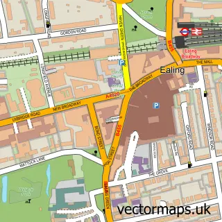
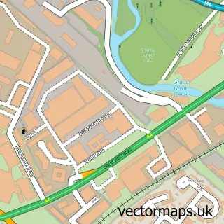
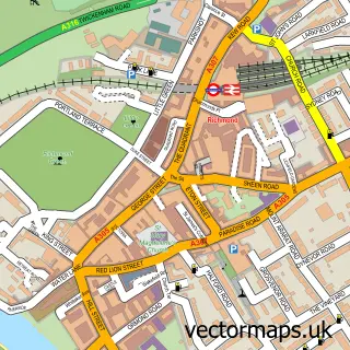
Nearby street map samples around Chiswick


More street maps in Greater London
750 metre map area coverage
Boundary, postcode and point of interest information for the 750m x 750m rectangle centred on this sample map.
Boundaries containing map centre
Constituency: Hammersmith and Chiswick Boro Const
County: Greater London Authority
District: Hounslow London Boro
Icb: NHS West and North London IC
Police Force: metropolitan
Postcode District: W4
Postcode Sector: W4 5
Ward: Chiswick Gunnersbury Ward
Nearby boundaries intersecting sample
Constituency: Ealing Central and Acton Boro Const
District: Ealing London Boro
Postcode Sector: W4 1, W4 2, W4 4
Ward: Southfield Ward
Postcode coverage
POI category counts
Beauty Salon: 20
Professional Services: 14
Advertising Agency: 9
Gym: 9
Jewelry Store: 9
Beauty And Spa: 8
Building Supply Store: 8
Mobile Phone Store: 7
Property Management: 7
Coffee Shop: 6
Sample points of interest
- Business High Prospects Limited
- Oracle Accountants & Tax Advisors Ltd.
- Wilshers
- Chiswick Chinese Medicine Clinic
- Six Physio Ltd.
- Barlow & Co.
- Brand Ex
- Clockwork I M C
- Crucible Research
- Media Base Direct
- Positive Profile
- Talisman
Create a larger editable map of Chiswick
This sample shows only a 750 metre area. To create a larger map of Chiswick, use our map builder to choose your own coverage area, add titles and download editable SVG, PDF and PNG files.
Create a custom map of Chiswick