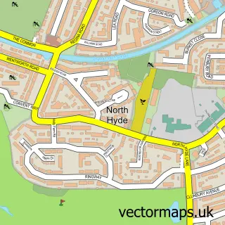
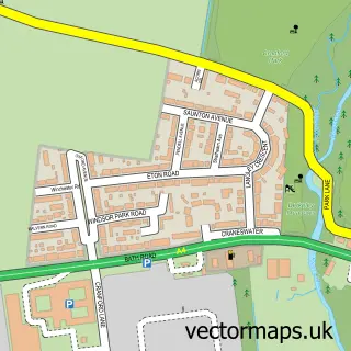
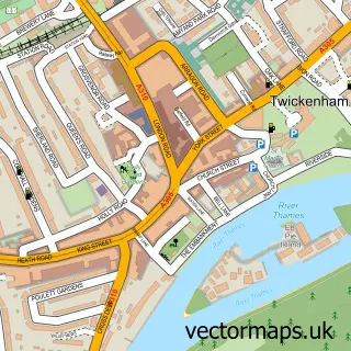
This Richmond street map is a detailed vector street map covering a 750m x 750m area. Select a larger area to create and download your own vector street map of Richmond.
The 750-metre map sample for Richmond covers 280 mapped buildings and approximately 22.0 km of road detail, of which 53 named roads are named. The immediate area includes 1 school, 1 railway station, 3 GP surgeries, with 17 within 2 miles and 26 pubs among other local services. The wider area around Richmond features 13 tourism points of interest, 76 food and drink venues and 7 hotels. To create a larger or custom map of Richmond, the map builder lets you define your own coverage area and download editable SVG, PDF and PNG files.
Create a larger editable map of Richmond
Choose any area you need and generate a high-quality vector map instantly. Perfect for print, planning, design, business and personal use.

This Richmond street map in Greater London is available as downloadable SVG, PDF and PNG map files, or as a printed map for planning, business, display, education, local information and design work. You can also create a larger custom map area using the map selector.
What this Richmond map sample shows
Richmond lies within Greater London Authority parish, part of South Richmond ward in the Richmond Upon Thames London Boro local authority area. The postcode geography for this area includes the TW postcode area, the TW10 postcode district and the TW10 6 postcode sector. Residents fall under the Nhs South West London Integrated Care Board for NHS services.
Local features near Richmond
Within 2 milesAmenities and services in and around Richmond.
Administrative and postcode information for Richmond
The local authority covering Richmond is Richmond Upon Thames London Boro, within the county of Greater London. The settlement lies within South Richmond ward and Greater London Authority civil parish. The TW10 postcode district and TW10 6 postcode sector serve the immediate area. NHS provision in the area is delivered through Kingston Hospital Nhs Foundation Trust.
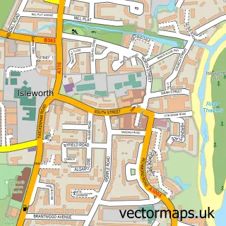
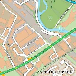
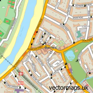
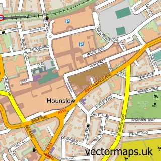
Nearby street map samples around Richmond


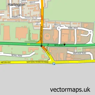
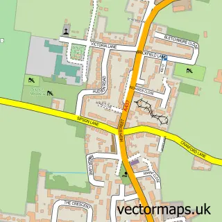
More street maps in Greater London
750 metre map area coverage
Boundary, postcode and point of interest information for the 750m x 750m rectangle centred on this sample map.
Boundaries containing map centre
Constituency: Richmond Park Boro Const
County: Greater London Authority
District: Richmond upon Thames London Boro
Icb: NHS South West London ICB
Police Force: metropolitan
Postcode District: TW9
Postcode Sector: TW9 1
Ward: South Richmond Ward
Nearby boundaries intersecting sample
Constituency: Twickenham Boro Const
Postcode District: TW1, TW10
Postcode Sector: TW1 2, TW10 6, TW10 7, TW9 2
Ward: North Richmond Ward, Twickenham Riverside Ward
Postcode coverage
POI category counts
Clothing Store: 30
Real Estate Agent: 30
Pub: 26
Coffee Shop: 24
Professional Services: 22
Jewelry Store: 21
Advertising Agency: 18
Retail: 18
Cafe: 17
Beauty Salon: 16
Sample points of interest
- Arna Accounting Services Ltd
- Blue Dot Consulting
- CFPro Ventures Ltd.
- SKS Business Services Ltd.
- Sherwin Currid Accountancy
- TaxAssist Accountants
- The Hughes Consultancy
- Riverside, River Thames, Richmond-upon-Thames
- Twickenham Stadium
- Chinaturally
- Everybody Health
- Directory Advertising Agency
Create a larger editable map of Richmond
This sample shows only a 750 metre area. To create a larger map of Richmond, use our map builder to choose your own coverage area, add titles and download editable SVG, PDF and PNG files.
Create a custom map of Richmond