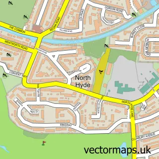
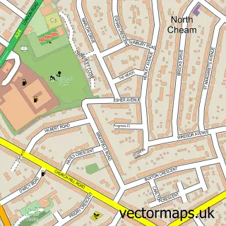
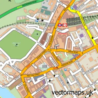
This Barnes street map is a detailed vector street map covering a 750m x 750m area. Select a larger area to create and download your own vector street map of Barnes.
The 750-metre map sample for Barnes covers 294 mapped buildings and approximately 17.1 km of road detail, of which 36 named roads are named. The immediate area includes 1 school, 1 railway station, 1 GP surgery, with 27 within 2 miles and 5 pubs among other local services. The wider area around Barnes features 7 tourism points of interest, 10 food and drink venues and 1 hotel. To create a larger or custom map of Barnes, the map builder lets you define your own coverage area and download editable SVG, PDF and PNG files.
Create a larger editable map of Barnes
Choose any area you need and generate a high-quality vector map instantly. Perfect for print, planning, design, business and personal use.

This Barnes street map in Greater London is available as downloadable SVG, PDF and PNG map files, or as a printed map for planning, business, display, education, local information and design work. You can also create a larger custom map area using the map selector.
What this Barnes map sample shows
Barnes lies within Greater London Authority parish, part of Barnes ward in the Richmond Upon Thames London Boro local authority area. The postcode geography for this area includes the SW postcode area, the SW13 postcode district and the SW13 9 postcode sector. Residents fall under the Nhs South West London Integrated Care Board for NHS services.
Local features near Barnes
Within 2 milesAmenities and services in and around Barnes.
Administrative and postcode information for Barnes
Barnes lies within Greater London Authority parish, part of Barnes ward in the Richmond Upon Thames London Boro local authority area. The postcode geography for this area includes the SW postcode area, the SW13 postcode district and the SW13 9 postcode sector. Residents fall under the Nhs South West London Integrated Care Board for NHS services.
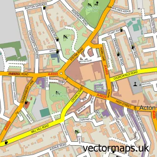
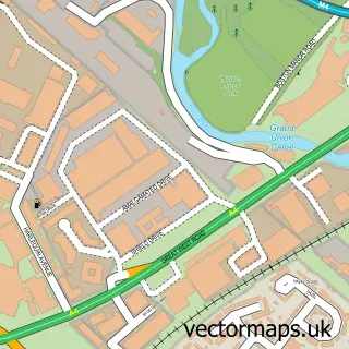
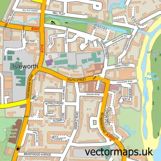
Nearby street map samples around Barnes


More street maps in Greater London
750 metre map area coverage
Boundary, postcode and point of interest information for the 750m x 750m rectangle centred on this sample map.
Boundaries containing map centre
Constituency: Richmond Park Boro Const
County: Greater London Authority
District: Richmond upon Thames London Boro
Icb: NHS South West London ICB
Police Force: metropolitan
Postcode District: SW13
Postcode Sector: SW13 9
Ward: Barnes Ward
Nearby boundaries intersecting sample
Constituency: Hammersmith and Chiswick Boro Const
District: Hounslow London Boro
Icb: NHS West and North London IC
Postcode District: W4
Postcode Sector: SW13 0, W4 2
Ward: Chiswick Homefields Ward, Mortlake & Barnes Common Ward
Postcode coverage
POI category counts
Real Estate Agent: 8
Ev Charging Station: 7
Sports Club And League: 7
Professional Services: 5
Pub: 5
Charity Organization: 4
Jewelry Store: 4
Retail: 4
Accountant: 3
Advertising Agency: 3
Sample points of interest
- A I M S Accountants
- AIMS Accountants for Business
- Wilkins Southworth Chartered Certified Accountants
- Head of the River Race
- Serene Acuhealing
- B7 Marketing Consultancy
- Ivor Heal Design
- Rawls & Co
- Inner Temple
- St Michael & All Angels, Barnes
- Riverside Gallery and Framing
- The Barnes Atelier of Art
Create a larger editable map of Barnes
This sample shows only a 750 metre area. To create a larger map of Barnes, use our map builder to choose your own coverage area, add titles and download editable SVG, PDF and PNG files.
Create a custom map of Barnes