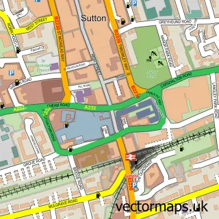
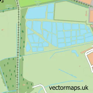
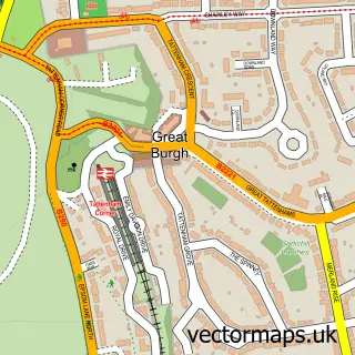
This North Cheam street map is a detailed vector street map covering a 750m x 750m area. Select a larger area to create and download your own vector street map of North Cheam.
The 750-metre map sample for North Cheam covers 583 mapped buildings and approximately 16.7 km of road detail, of which 31 named roads are named. The immediate area includes 1 GP surgery, with 15 within 2 miles, 1 pub and 1 MOT station, with 22 within 2 miles. The wider area around North Cheam features 2 tourism points of interest and 4 food and drink venues. To create a larger or custom map of North Cheam, the map builder lets you define your own coverage area and download editable SVG, PDF and PNG files.
Create a larger editable map of North Cheam
Choose any area you need and generate a high-quality vector map instantly. Perfect for print, planning, design, business and personal use.

This North Cheam street map in Greater London is available as downloadable SVG, PDF and PNG map files, or as a printed map for planning, business, display, education, local information and design work. You can also create a larger custom map area using the map selector.
What this North Cheam map sample shows
North Cheam lies within Greater London Authority parish, part of Nonsuch ward in the Sutton London Boro local authority area. The postcode geography for this area includes the SM postcode area, the SM3 postcode district and the SM3 8 postcode sector. Residents fall under the Nhs South West London Integrated Care Board for NHS services.
Local features near North Cheam
Within 2 milesAmenities and services in and around North Cheam.
Administrative and postcode information for North Cheam
North Cheam lies within Greater London Authority parish, part of Nonsuch ward in the Sutton London Boro local authority area. The postcode geography for this area includes the SM postcode area, the SM3 postcode district and the SM3 8 postcode sector. Residents fall under the Nhs South West London Integrated Care Board for NHS services.
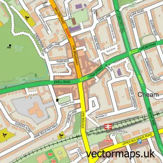
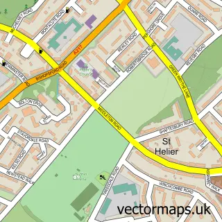
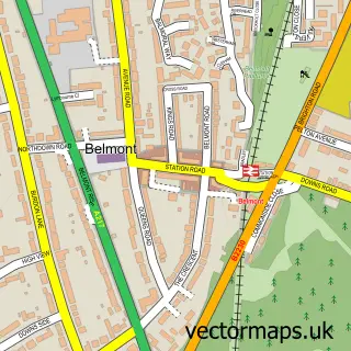
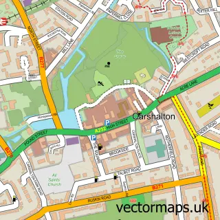
Nearby street map samples around North Cheam

More street maps in Greater London
750 metre map area coverage
Boundary, postcode and point of interest information for the 750m x 750m rectangle centred on this sample map.
Boundaries containing map centre
Constituency: Sutton and Cheam Boro Const
County: Greater London Authority
District: Sutton London Boro
Icb: NHS South West London ICB
Police Force: metropolitan
Postcode District: SM3
Postcode Sector: SM3 9
Ward: North Cheam Ward
Nearby boundaries intersecting sample
Postcode District: KT4
Postcode Sector: KT4 8, SM3 8
Ward: Cheam Ward
Postcode coverage
POI category counts
Building Supply Store: 5
Contractor: 4
Education: 4
Gym: 3
Painting: 3
Pharmacy: 3
Plumbing: 3
Swimming Instructor: 3
Veterinarian: 3
Anglican Church: 2
Sample points of interest
- Ossman Consultants
- The Nonsuch Auricular Therapy Clinic
- Cheam, St Oswald
- St Oswald's Church
- Enhance Design and Build
- The Cricket Lounge - Indian Restaurant & Bar
- Moto-Zoom Van Sales
- Church Hill Motors
- Molefix
- Dè ráz Barber shop
- 2bSpoilt - Beauty & Aesthetics
- Alympic Builders
Create a larger editable map of North Cheam
This sample shows only a 750 metre area. To create a larger map of North Cheam, use our map builder to choose your own coverage area, add titles and download editable SVG, PDF and PNG files.
Create a custom map of North Cheam