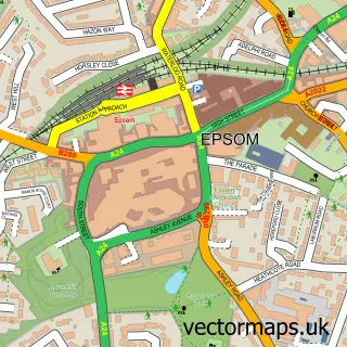
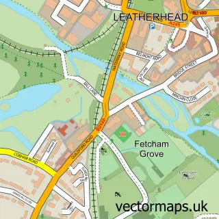
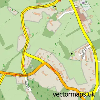
This The Wells street map is a detailed vector street map covering a 750m x 750m area. Select a larger area to create and download your own vector street map of The Wells.
The 750-metre map sample for The Wells covers 211 mapped buildings and approximately 7.1 km of road detail, of which 9 named roads are named. The immediate area includes 5 GP surgeries within 2 miles and 13 MOT stations within 2 miles. The wider area around The Wells features 2 tourism points of interest and 1 hotel. To create a larger or custom map of The Wells, the map builder lets you define your own coverage area and download editable SVG, PDF and PNG files.
Create a larger editable map of The Wells
Choose any area you need and generate a high-quality vector map instantly. Perfect for print, planning, design, business and personal use.

This The Wells street map in Surrey is available as downloadable SVG, PDF and PNG map files, or as a printed map for planning, business, display, education, local information and design work. You can also create a larger custom map area using the map selector.
What this The Wells map sample shows
The Wells lies within Surrey County parish, part of Ashtead Village ward in the Mole Valley District local authority area. The postcode geography for this area includes the KT postcode area, the KT21 postcode district and the KT21 2 postcode sector. Residents fall under the Nhs Surrey Heartlands Integrated Care Board for NHS services.
Local features near The Wells
Within 2 milesAmenities and services in and around The Wells.
Administrative and postcode information for The Wells
The local authority covering The Wells is Mole Valley District, within the county of Surrey. The settlement lies within Ashtead Village ward and Surrey County civil parish. The KT21 postcode district and KT21 2 postcode sector serve the immediate area. NHS provision in the area is delivered through Epsom And St Helier University Hospitals Nhs Trust.
Nearby street map samples around The Wells

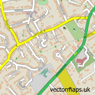
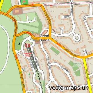
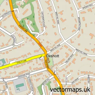
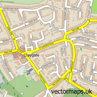
More street maps in Surrey
750 metre map area coverage
Boundary, postcode and point of interest information for the 750m x 750m rectangle centred on this sample map.
Boundaries containing map centre
Constituency: Epsom and Ewell Boro Const
County: Surrey County
District: Epsom and Ewell District (B)
Icb: NHS Surrey and Sussex ICB
Police Force: surrey
Postcode District: KT18
Postcode Sector: KT18 7
Ward: Stamford Ward
Nearby boundaries intersecting sample
District: Mole Valley District
Postcode District: KT21
Postcode Sector: KT21 1
Ward: Ashtead Lanes & Common Ward
Postcode coverage
POI category counts
Professional Services: 2
Accountant: 1
Active Life: 1
Beauty Salon: 1
Carpenter: 1
Community Center: 1
Contractor: 1
Dog Walkers: 1
Electrician: 1
Elementary School: 1
Sample points of interest
- DIGITZ LTD
- Epsom and Ashtead Common
- Looks Beauty
- Hybrid Carpentry
- The Wells Community Centre
- ARC Tiling & Plastering
- Woodland Tails Dog Walking
- D Jones Electrical
- Busy Bees at Epsom
- Digitz
- Fox Tree Consultants
- The Restaurant at Chalk Lane Hotel
Create a larger editable map of The Wells
This sample shows only a 750 metre area. To create a larger map of The Wells, use our map builder to choose your own coverage area, add titles and download editable SVG, PDF and PNG files.
Create a custom map of The Wells