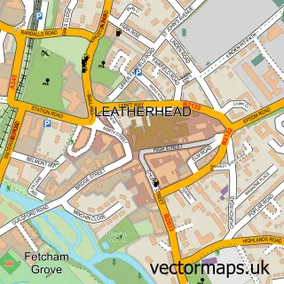
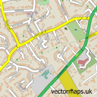
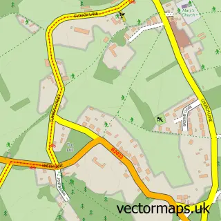
This Fetcham Grove street map is a detailed vector street map covering a 750m x 750m area. Select a larger area to create and download your own vector street map of Fetcham Grove.
The 750-metre map sample for Fetcham Grove covers 181 mapped buildings and approximately 11.2 km of road detail, of which 20 named roads are named. The immediate area includes 3 GP surgeries within 2 miles, 3 pubs and 1 MOT station, with 9 within 2 miles. The wider area around Fetcham Grove features 1 tourism point of interest, 6 food and drink venues and 1 hotel. To create a larger or custom map of Fetcham Grove, the map builder lets you define your own coverage area and download editable SVG, PDF and PNG files.
Create a larger editable map of Fetcham Grove
Choose any area you need and generate a high-quality vector map instantly. Perfect for print, planning, design, business and personal use.

This Fetcham Grove street map in Surrey is available as downloadable SVG, PDF and PNG map files, or as a printed map for planning, business, display, education, local information and design work. You can also create a larger custom map area using the map selector.
What this Fetcham Grove map sample shows
Fetcham Grove lies within Surrey County parish, part of Leatherhead North ward in the Mole Valley District local authority area. The postcode geography for this area includes the KT postcode area, the KT22 postcode district and the KT22 7 postcode sector. Residents fall under the Nhs Surrey Heartlands Integrated Care Board for NHS services.
Local features near Fetcham Grove
Within 2 milesAmenities and services in and around Fetcham Grove.
Administrative and postcode information for Fetcham Grove
Fetcham Grove lies within Surrey County parish, part of Leatherhead North ward in the Mole Valley District local authority area. The postcode geography for this area includes the KT postcode area, the KT22 postcode district and the KT22 7 postcode sector. Residents fall under the Nhs Surrey Heartlands Integrated Care Board for NHS services.
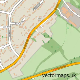
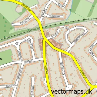
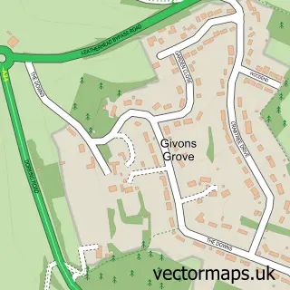
Nearby street map samples around Fetcham Grove

More street maps in Surrey
750 metre map area coverage
Boundary, postcode and point of interest information for the 750m x 750m rectangle centred on this sample map.
Boundaries containing map centre
Constituency: Dorking and Horley Co Const
County: Surrey County
District: Mole Valley District
Icb: NHS Surrey and Sussex ICB
Police Force: surrey
Postcode District: KT22
Postcode Sector: KT22 9
Ward: Fetcham Ward
Nearby boundaries intersecting sample
Constituency: Epsom and Ewell Boro Const
Postcode Sector: KT22 7, KT22 8
Ward: Leatherhead North Ward, Leatherhead South Ward
Postcode coverage
POI category counts
Advertising Agency: 9
Real Estate Agent: 9
Professional Services: 8
It Service And Computer Repair: 7
Building Supply Store: 5
Retail: 5
Industrial Equipment: 4
Marketing Agency: 4
Sports Club And League: 4
Bank Credit Union: 3
Sample points of interest
- Fetcham Grove
- David Howard
- Draper Accountants Ltd.
- Leatherhead Riverside
- C I B
- Codesauce
- Creative Exchange
- Engage
- Firebrand Promotions
- Go Surrey
- Jellybean Creative Solutions
- Prowse & Co
Create a larger editable map of Fetcham Grove
This sample shows only a 750 metre area. To create a larger map of Fetcham Grove, use our map builder to choose your own coverage area, add titles and download editable SVG, PDF and PNG files.
Create a custom map of Fetcham Grove