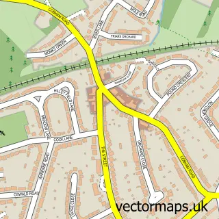
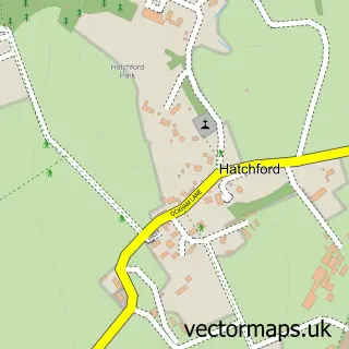
This Little Bookham street map is a detailed vector street map covering a 750m x 750m area. Select a larger area to create and download your own vector street map of Little Bookham.
The 750-metre map sample for Little Bookham covers 196 mapped buildings and approximately 8.1 km of road detail, of which 13 named roads are named. The immediate area includes 2 GP surgeries within 2 miles, 2 pubs and 4 MOT stations within 2 miles. The wider area around Little Bookham features 2 food and drink venues, 1 hotel and 1 campsite within 2 miles. To create a larger or custom map of Little Bookham, the map builder lets you define your own coverage area and download editable SVG, PDF and PNG files.
Create a larger editable map of Little Bookham
Choose any area you need and generate a high-quality vector map instantly. Perfect for print, planning, design, business and personal use.

This Little Bookham street map in Surrey is available as downloadable SVG, PDF and PNG map files, or as a printed map for planning, business, display, education, local information and design work. You can also create a larger custom map area using the map selector.
What this Little Bookham map sample shows
Little Bookham lies within Surrey County parish, part of Bookham South ward in the Mole Valley District local authority area. The postcode geography for this area includes the KT postcode area, the KT23 postcode district and the KT23 4 postcode sector. Residents fall under the Nhs Surrey Heartlands Integrated Care Board for NHS services.
Local features near Little Bookham
Within 2 milesAmenities and services in and around Little Bookham.
Administrative and postcode information for Little Bookham
Little Bookham lies within Surrey County parish, part of Bookham South ward in the Mole Valley District local authority area. The postcode geography for this area includes the KT postcode area, the KT23 postcode district and the KT23 4 postcode sector. Residents fall under the Nhs Surrey Heartlands Integrated Care Board for NHS services.
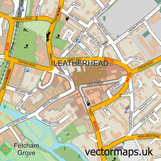
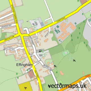
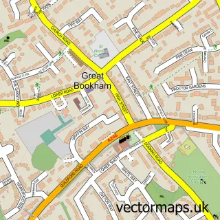
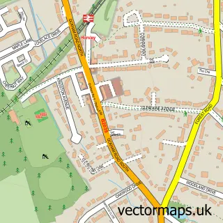
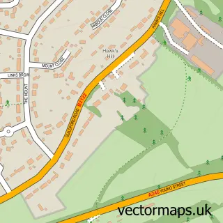
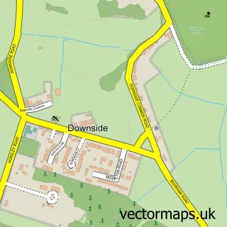
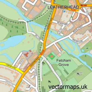
Nearby street map samples around Little Bookham

More street maps in Surrey
750 metre map area coverage
Boundary, postcode and point of interest information for the 750m x 750m rectangle centred on this sample map.
Boundaries containing map centre
Constituency: Dorking and Horley Co Const
County: Surrey County
District: Mole Valley District
Icb: NHS Surrey and Sussex ICB
Police Force: surrey
Postcode District: KT23
Postcode Sector: KT23 3
Ward: Bookham West Ward
Nearby boundaries intersecting sample
Constituency: Guildford Co Const
District: Guildford District (B)
Parish: Effingham CP
Postcode District: KT24
Postcode Sector: KT23 4, KT24 5
Ward: Effingham Ward
Postcode coverage
POI category counts
Assisted Living Facility: 2
Ev Charging Station: 2
Pub: 2
Retirement Home: 2
Anglican Church: 1
Apartments: 1
Art Gallery: 1
Business Consulting: 1
Business To Business: 1
Cleaning Services: 1
Sample points of interest
- All Saints, Little Bookham
- Woodstone
- Lincoln Joyce Fine Art
- Gracewell of Bookham
- Liberham Lodge Care Home - Care UK
- Epsilon Management Services
- The Original Home Store
- Clearance Co
- The Grange Centre For People With Disabilities
- The Grange Centre
- evyve Charging Station
- evyve Charging Station - Little Bookham Street, Leatherhead.
Create a larger editable map of Little Bookham
This sample shows only a 750 metre area. To create a larger map of Little Bookham, use our map builder to choose your own coverage area, add titles and download editable SVG, PDF and PNG files.
Create a custom map of Little Bookham