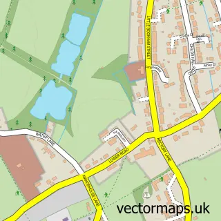
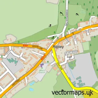
This East Horsley street map is a detailed vector street map covering a 750m x 750m area. Select a larger area to create and download your own vector street map of East Horsley.
The 750-metre map sample for East Horsley covers 321 mapped buildings and approximately 12.4 km of road detail, of which 18 named roads are named. The immediate area includes 1 railway station, 1 GP surgery and 1 MOT station within 2 miles. The wider area around East Horsley features 1 tourism point of interest, 1 food and drink venue and 2 hotels. To create a larger or custom map of East Horsley, the map builder lets you define your own coverage area and download editable SVG, PDF and PNG files.
Create a larger editable map of East Horsley
Choose any area you need and generate a high-quality vector map instantly. Perfect for print, planning, design, business and personal use.

This East Horsley street map in Surrey is available as downloadable SVG, PDF and PNG map files, or as a printed map for planning, business, display, education, local information and design work. You can also create a larger custom map area using the map selector.
What this East Horsley map sample shows
East Horsley lies within East Horsley Cp parish, part of Clandon And Horsley ward in the Guildford District (B) local authority area. The postcode geography for this area includes the KT postcode area, the KT24 postcode district and the KT24 6 postcode sector. Residents fall under the Nhs Surrey Heartlands Integrated Care Board for NHS services.
Local features near East Horsley
Within 2 milesAmenities and services in and around East Horsley.
Administrative and postcode information for East Horsley
East Horsley lies within East Horsley Cp parish, part of Clandon And Horsley ward in the Guildford District (B) local authority area. The postcode geography for this area includes the KT postcode area, the KT24 postcode district and the KT24 6 postcode sector. Residents fall under the Nhs Surrey Heartlands Integrated Care Board for NHS services.
Nearby street map samples around East Horsley
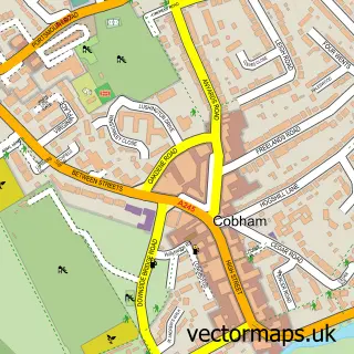

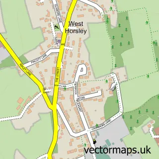
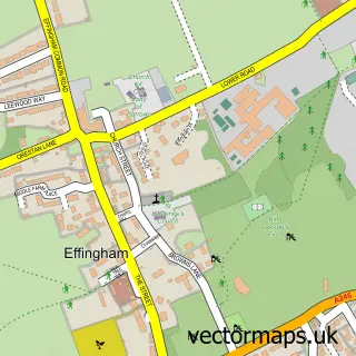
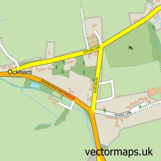
More street maps in Surrey
750 metre map area coverage
Boundary, postcode and point of interest information for the 750m x 750m rectangle centred on this sample map.
Boundaries containing map centre
Constituency: Guildford Co Const
County: Surrey County
District: Guildford District (B)
Icb: NHS Surrey and Sussex ICB
Parish: East Horsley CP
Police Force: surrey
Postcode District: KT24
Postcode Sector: KT24 6
Ward: Clandon & Horsley Ward
Nearby boundaries intersecting sample
Parish: West Horsley CP
Postcode Sector: KT24 5
Postcode coverage
POI category counts
Doctor: 4
Real Estate Agent: 4
Bakery: 3
Beauty Salon: 3
Professional Services: 3
Asian Fusion Restaurant: 2
Building Supply Store: 2
Convenience Store: 2
Electronics: 2
Flowers And Gifts Shop: 2
Sample points of interest
- Surrey Orangery
- Village Hall, East Horsley
- Merry House Takeaway
- Merry-House ChineseTakeaway Surrey | Malaysian | Fish & Chips
- Home Counties Carers
- Cashpoint® 5 Ockham Road South
- Intermotiv
- The Bakery Shop Ltd
- The Bakery, East Horsley
- Watson's Bakeries
- Lloyds Bank
- HSBC Bank
Create a larger editable map of East Horsley
This sample shows only a 750 metre area. To create a larger map of East Horsley, use our map builder to choose your own coverage area, add titles and download editable SVG, PDF and PNG files.
Create a custom map of East Horsley