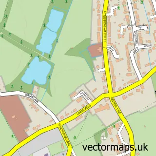
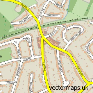
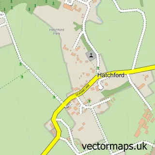
This Effingham street map is a detailed vector street map covering a 750m x 750m area. Select a larger area to create and download your own vector street map of Effingham.
The 750-metre map sample for Effingham covers 205 mapped buildings and approximately 9.8 km of road detail, of which 18 named roads are named. The immediate area includes 1 primary school and 1 secondary school, 3 GP surgeries within 2 miles, 4 pubs and 4 MOT stations within 2 miles. The wider area around Effingham features 1 tourism point of interest, 5 food and drink venues and 1 campsite within 2 miles. To create a larger or custom map of Effingham, the map builder lets you define your own coverage area and download editable SVG, PDF and PNG files.
Create a larger editable map of Effingham
Choose any area you need and generate a high-quality vector map instantly. Perfect for print, planning, design, business and personal use.

This Effingham street map in Surrey is available as downloadable SVG, PDF and PNG map files, or as a printed map for planning, business, display, education, local information and design work. You can also create a larger custom map area using the map selector.
What this Effingham map sample shows
Effingham lies within Effingham Cp parish, part of Effingham ward in the Guildford District (B) local authority area. The postcode geography for this area includes the KT postcode area, the KT24 postcode district and the KT24 5 postcode sector. Residents fall under the Nhs Surrey Heartlands Integrated Care Board for NHS services.
Local features near Effingham
Within 2 milesAmenities and services in and around Effingham.
Administrative and postcode information for Effingham
The local authority covering Effingham is Guildford District (B), within the county of Surrey. The settlement lies within Effingham ward and Effingham Cp civil parish. The KT24 postcode district and KT24 5 postcode sector serve the immediate area. NHS provision in the area is delivered through Royal Surrey County Hospital Nhs Foundation Trust.
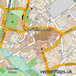
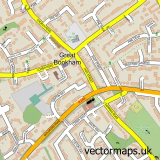
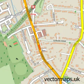
Nearby street map samples around Effingham

More street maps in Surrey
750 metre map area coverage
Boundary, postcode and point of interest information for the 750m x 750m rectangle centred on this sample map.
Boundaries containing map centre
Constituency: Guildford Co Const
County: Surrey County
District: Guildford District (B)
Icb: NHS Surrey and Sussex ICB
Parish: Effingham CP
Police Force: surrey
Postcode District: KT24
Postcode Sector: KT24 5
Ward: Effingham Ward
Nearby boundaries intersecting sample
Constituency: Dorking and Horley Co Const
District: Mole Valley District
Postcode District: KT23
Postcode Sector: KT23 4
Ward: Bookham West Ward
Postcode coverage
POI category counts
Church Cathedral: 4
Pub: 4
Education: 3
Arts And Entertainment: 2
Bakery: 2
Event Technology Service: 2
Hardware Store: 2
Nursery And Gardening: 2
Pet Groomer: 2
Shipping Center: 2
Sample points of interest
- Effingham & Leatherhead Rugby Football Club
- St Lawrence, Effingham
- Effingham
- King George V Hall & Playing Fields
- King George's Field
- The Bakery
- Watsons Bakeries
- Metro Bank
- KGV Effingham
- Brows and Beauty by Georgia
- NJL Project Management
- Bevan's Butchers
Create a larger editable map of Effingham
This sample shows only a 750 metre area. To create a larger map of Effingham, use our map builder to choose your own coverage area, add titles and download editable SVG, PDF and PNG files.
Create a custom map of Effingham