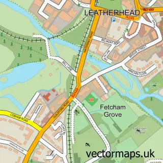
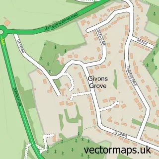
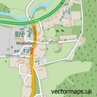
This Fetcham street map is a detailed vector street map covering a 750m x 750m area. Select a larger area to create and download your own vector street map of Fetcham.
The 750-metre map sample for Fetcham covers 493 mapped buildings and approximately 15.7 km of road detail, of which 24 named roads are named. The immediate area includes 3 GP surgeries within 2 miles and 8 MOT stations within 2 miles. The wider area around Fetcham features 2 food and drink venues. To create a larger or custom map of Fetcham, the map builder lets you define your own coverage area and download editable SVG, PDF and PNG files.
Create a larger editable map of Fetcham
Choose any area you need and generate a high-quality vector map instantly. Perfect for print, planning, design, business and personal use.

This Fetcham street map in Surrey is available as downloadable SVG, PDF and PNG map files, or as a printed map for planning, business, display, education, local information and design work. You can also create a larger custom map area using the map selector.
What this Fetcham map sample shows
Fetcham lies within Surrey County parish, part of Fetcham West ward in the Mole Valley District local authority area. The postcode geography for this area includes the KT postcode area, the KT22 postcode district and the KT22 9 postcode sector. Residents fall under the Nhs Surrey Heartlands Integrated Care Board for NHS services.
Local features near Fetcham
Within 2 milesAmenities and services in and around Fetcham.
Administrative and postcode information for Fetcham
The local authority covering Fetcham is Mole Valley District, within the county of Surrey. The settlement lies within Fetcham West ward and Surrey County civil parish. The KT22 postcode district and KT22 9 postcode sector serve the immediate area. NHS provision in the area is delivered through Epsom And St Helier University Hospitals Nhs Trust.
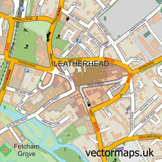
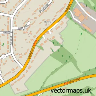
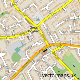
Nearby street map samples around Fetcham

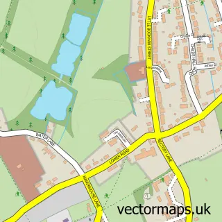
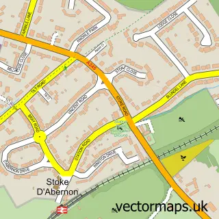
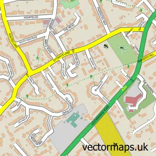
More street maps in Surrey
750 metre map area coverage
Boundary, postcode and point of interest information for the 750m x 750m rectangle centred on this sample map.
Boundaries containing map centre
Constituency: Dorking and Horley Co Const
County: Surrey County
District: Mole Valley District
Icb: NHS Surrey and Sussex ICB
Police Force: surrey
Postcode District: KT22
Postcode Sector: KT22 9
Ward: Fetcham Ward
Nearby boundaries intersecting sample
No additional intersecting boundaries found.
Postcode coverage
POI category counts
Building Supply Store: 4
Beauty Salon: 3
Indian Restaurant: 3
Pet Store: 3
Assisted Living Facility: 2
Contractor: 2
Flowers And Gifts Shop: 2
Gardener: 2
It Service And Computer Repair: 2
Pet Groomer: 2
Sample points of interest
- Montrose Clinic
- RJ Osteopathic Clinic
- Bellsgrove Residential Care Home
- Comforts of Home
- Car Scratch Surrey
- Jellykidsboutique
- Fetcham Barber's
- Village Interiors
- Fetcham Aesthetics & Beauty
- The Baer Skin Clinic
- The Glamour Garden
- Coral
Create a larger editable map of Fetcham
This sample shows only a 750 metre area. To create a larger map of Fetcham, use our map builder to choose your own coverage area, add titles and download editable SVG, PDF and PNG files.
Create a custom map of Fetcham