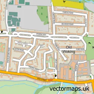
This Ripley street map is a detailed vector street map covering a 750m x 750m area. Select a larger area to create and download your own vector street map of Ripley.
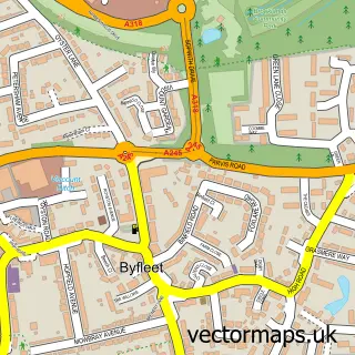
The 750-metre map sample for Ripley covers 216 mapped buildings and approximately 10.8 km of road detail, of which 11 named roads are named. The immediate area includes 1 school, 1 GP surgery within 2 miles, 8 pubs and 1 MOT station within 2 miles. The wider area around Ripley features 12 food and drink venues and 1 hotel. To create a larger or custom map of Ripley, the map builder lets you define your own coverage area and download editable SVG, PDF and PNG files.
Create a larger editable map of Ripley
Choose any area you need and generate a high-quality vector map instantly. Perfect for print, planning, design, business and personal use.

This Ripley street map in Surrey is available as downloadable SVG, PDF and PNG map files, or as a printed map for planning, business, display, education, local information and design work. You can also create a larger custom map area using the map selector.
What this Ripley map sample shows
Ripley lies within Ripley Cp parish, part of Lovelace ward in the Guildford District (B) local authority area. The postcode geography for this area includes the GU postcode area, the GU23 postcode district and the GU23 6 postcode sector. Residents fall under the Nhs Surrey Heartlands Integrated Care Board for NHS services.
Local features near Ripley
Within 2 milesAmenities and services in and around Ripley.
Administrative and postcode information for Ripley
Ripley lies within Ripley Cp parish, part of Lovelace ward in the Guildford District (B) local authority area. The postcode geography for this area includes the GU postcode area, the GU23 postcode district and the GU23 6 postcode sector. Residents fall under the Nhs Surrey Heartlands Integrated Care Board for NHS services.
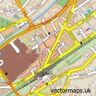
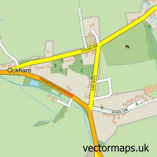
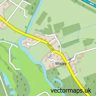
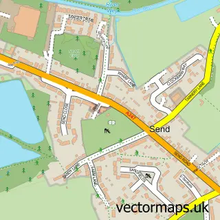
Nearby street map samples around Ripley

More street maps in Surrey
750 metre map area coverage
Boundary, postcode and point of interest information for the 750m x 750m rectangle centred on this sample map.
Boundaries containing map centre
Constituency: Guildford Co Const
County: Surrey County
District: Guildford District (B)
Icb: NHS Surrey and Sussex ICB
Parish: Ripley CP
Police Force: surrey
Postcode District: GU23
Postcode Sector: GU23 6
Ward: Send & Lovelace Ward
Nearby boundaries intersecting sample
No additional intersecting boundaries found.
Postcode coverage
POI category counts
Pub: 8
Beauty Salon: 3
Business Management Services: 3
Dry Cleaning: 3
Hair Salon: 3
Real Estate Agent: 3
Wine Bar: 3
Advertising Agency: 2
British Restaurant: 2
Carpet Store: 2
Sample points of interest
- Drive
- Intelligent Marketing Communications
- Ripley: St Mary Magdalen
- Young & Blackmore
- Jo Downs Handmade Glass
- PayPoint
- The Surrey Car Company
- Trinity Engineering
- The Bakery Shop
- Barbers of Ripley
- Ilsanto
- Professional Make-Up Artist
Create a larger editable map of Ripley
This sample shows only a 750 metre area. To create a larger map of Ripley, use our map builder to choose your own coverage area, add titles and download editable SVG, PDF and PNG files.
Create a custom map of Ripley