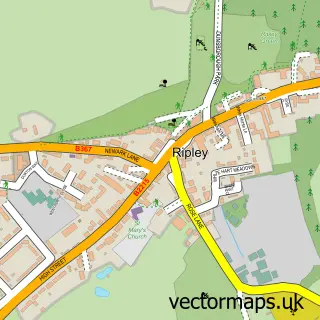
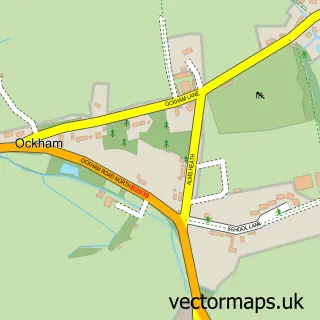
This West Clandon street map is a detailed vector street map covering a 750m x 750m area. Select a larger area to create and download your own vector street map of West Clandon.
The 750-metre map sample for West Clandon covers 110 mapped buildings and approximately 6.7 km of road detail, of which 4 named roads are named. The immediate area includes 1 railway station, 1 GP surgery within 2 miles, 1 pub and 1 MOT station within 2 miles. The wider area around West Clandon features 1 food and drink venue. To create a larger or custom map of West Clandon, the map builder lets you define your own coverage area and download editable SVG, PDF and PNG files.
Create a larger editable map of West Clandon
Choose any area you need and generate a high-quality vector map instantly. Perfect for print, planning, design, business and personal use.

This West Clandon street map in Surrey is available as downloadable SVG, PDF and PNG map files, or as a printed map for planning, business, display, education, local information and design work. You can also create a larger custom map area using the map selector.
What this West Clandon map sample shows
West Clandon lies within West Clandon Cp parish, part of Clandon And Horsley ward in the Guildford District (B) local authority area. The postcode geography for this area includes the GU postcode area, the GU4 postcode district and the GU4 8 postcode sector. Residents fall under the Nhs Surrey Heartlands Integrated Care Board for NHS services.
Local features near West Clandon
Within 2 milesAmenities and services in and around West Clandon.
Administrative and postcode information for West Clandon
The local authority covering West Clandon is Guildford District (B), within the county of Surrey. The settlement lies within Clandon And Horsley ward and West Clandon Cp civil parish. The GU4 postcode district and GU4 8 postcode sector serve the immediate area. NHS provision in the area is delivered through Royal Surrey County Hospital Nhs Foundation Trust.
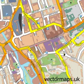
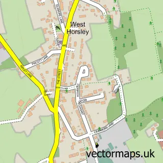
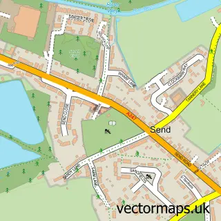
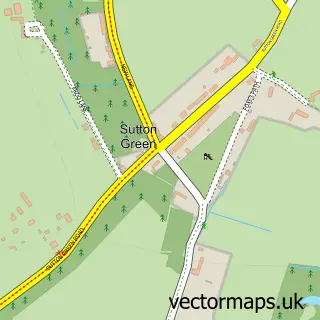
Nearby street map samples around West Clandon

More street maps in Surrey
750 metre map area coverage
Boundary, postcode and point of interest information for the 750m x 750m rectangle centred on this sample map.
Boundaries containing map centre
Constituency: Guildford Co Const
County: Surrey County
District: Guildford District (B)
Icb: NHS Surrey and Sussex ICB
Parish: West Clandon CP
Police Force: surrey
Postcode District: GU4
Postcode Sector: GU4 7
Ward: Clandon & Horsley Ward
Nearby boundaries intersecting sample
No additional intersecting boundaries found.
Postcode coverage
POI category counts
Beauty And Spa: 2
Osteopath: 2
Train Station: 2
Carpenter: 1
Dance School: 1
Dog Walkers: 1
Home Cleaning: 1
Home Health Care: 1
Key And Locksmith: 1
Kitchen Supply Store: 1
Sample points of interest
- Angels Surrey
- Evelyn Morales Make Up Artist
- Jigsaw Carpentry & Construction
- Dance Platform Academy
- We Love Pets Guildford
- A B M Floorcare
- Home Counties Carers
- Walker Locksmiths
- Little Cherubs Babysitting Services
- Vibrating Wellness
- Elaine Burns Registered Osteopath
- Registered Osteopath Elaine Burns
Create a larger editable map of West Clandon
This sample shows only a 750 metre area. To create a larger map of West Clandon, use our map builder to choose your own coverage area, add titles and download editable SVG, PDF and PNG files.
Create a custom map of West Clandon