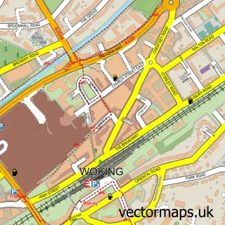
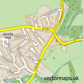
This Send street map is a detailed vector street map covering a 750m x 750m area. Select a larger area to create and download your own vector street map of Send.
The 750-metre map sample for Send covers 323 mapped buildings and approximately 10.0 km of road detail, of which 14 named roads are named. The immediate area includes 4 GP surgeries within 2 miles and 4 MOT stations within 2 miles. The wider area around Send features 3 tourism points of interest and 1 food and drink venue. To create a larger or custom map of Send, the map builder lets you define your own coverage area and download editable SVG, PDF and PNG files.
Create a larger editable map of Send
Choose any area you need and generate a high-quality vector map instantly. Perfect for print, planning, design, business and personal use.

This Send street map in Surrey is available as downloadable SVG, PDF and PNG map files, or as a printed map for planning, business, display, education, local information and design work. You can also create a larger custom map area using the map selector.
What this Send map sample shows
Send lies within Send Cp parish, part of Send ward in the Guildford District (B) local authority area. The postcode geography for this area includes the GU postcode area, the GU23 postcode district and the GU23 7 postcode sector. Residents fall under the Nhs Surrey Heartlands Integrated Care Board for NHS services.
Local features near Send
Within 2 milesAmenities and services in and around Send.
Administrative and postcode information for Send
The local authority covering Send is Guildford District (B), within the county of Surrey. The settlement lies within Send ward and Send Cp civil parish. The GU23 postcode district and GU23 7 postcode sector serve the immediate area. NHS provision in the area is delivered through Royal Surrey County Hospital Nhs Foundation Trust.
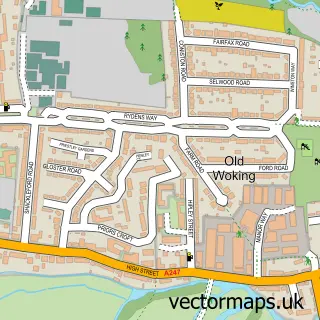
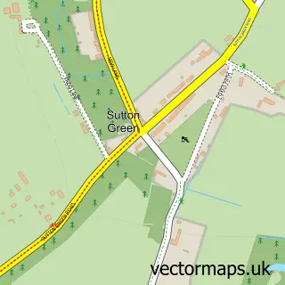
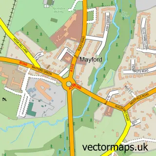
Nearby street map samples around Send


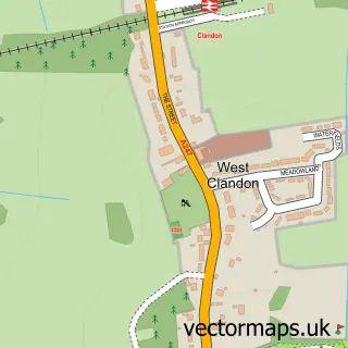
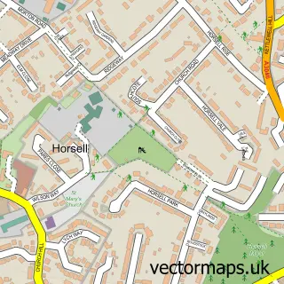
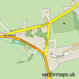
More street maps in Surrey
750 metre map area coverage
Boundary, postcode and point of interest information for the 750m x 750m rectangle centred on this sample map.
Boundaries containing map centre
Constituency: Guildford Co Const
County: Surrey County
District: Guildford District (B)
Icb: NHS Surrey and Sussex ICB
Parish: Send CP
Police Force: surrey
Postcode District: GU23
Postcode Sector: GU23 7
Ward: Send & Lovelace Ward
Nearby boundaries intersecting sample
No additional intersecting boundaries found.
Postcode coverage
POI category counts
Beauty Salon: 3
Hair Salon: 3
Park: 3
Convenience Store: 2
Electrician: 2
Financial Service: 2
Freight And Cargo Service: 2
Korean Grocery Store: 2
Acupuncture: 1
Arts And Crafts: 1
Sample points of interest
- Cupping Point - Acupuncture & Hijama Clinic in Woking
- The Crafty Nest
- Morrisons Daily - Wrexham Holt Road, Send
- J B Motors
- Alemba
- Taste of India
- The Barber Hub of Send
- 2NV Beauty Salon Ltd
- Beauty emporium by Daria
- Sophia Wyatt
- The New Inn
- Clover Care
Create a larger editable map of Send
This sample shows only a 750 metre area. To create a larger map of Send, use our map builder to choose your own coverage area, add titles and download editable SVG, PDF and PNG files.
Create a custom map of Send