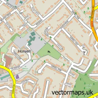
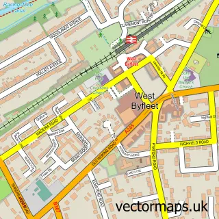
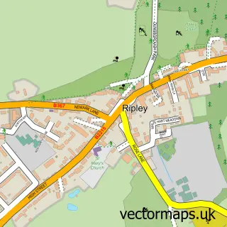
This Woking street map is a detailed vector street map covering a 750m x 750m area. Select a larger area to create and download your own vector street map of Woking.
The 750-metre map sample for Woking covers 305 mapped buildings and approximately 19.1 km of road detail, of which 36 named roads are named. The immediate area includes 1 school, 1 railway station, 9 GP surgeries within 2 miles and 10 pubs among other local services. The wider area around Woking features 5 tourism points of interest, 57 food and drink venues and 11 hotels. To create a larger or custom map of Woking, the map builder lets you define your own coverage area and download editable SVG, PDF and PNG files.
Create a larger editable map of Woking
Choose any area you need and generate a high-quality vector map instantly. Perfect for print, planning, design, business and personal use.

This Woking street map in Surrey is available as downloadable SVG, PDF and PNG map files, or as a printed map for planning, business, display, education, local information and design work. You can also create a larger custom map area using the map selector.
What this Woking map sample shows
Woking lies within Surrey County parish, part of Canalside ward in the Woking District (B) local authority area. The postcode geography for this area includes the GU postcode area, the GU21 postcode district and the GU21 6 postcode sector. Residents fall under the Nhs Surrey Heartlands Integrated Care Board for NHS services.
Local features near Woking
Within 2 milesAmenities and services in and around Woking.
Administrative and postcode information for Woking
Woking lies within Surrey County parish, part of Canalside ward in the Woking District (B) local authority area. The postcode geography for this area includes the GU postcode area, the GU21 postcode district and the GU21 6 postcode sector. Residents fall under the Nhs Surrey Heartlands Integrated Care Board for NHS services.
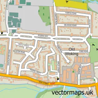
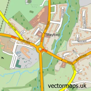
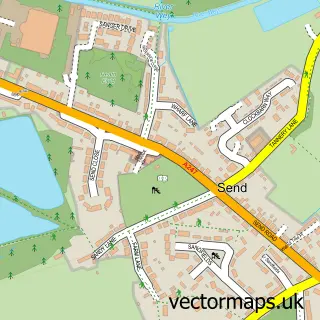
Nearby street map samples around Woking

More street maps in Surrey
750 metre map area coverage
Boundary, postcode and point of interest information for the 750m x 750m rectangle centred on this sample map.
Boundaries containing map centre
Constituency: Woking Boro Const
County: Surrey County
District: Woking District (B)
Icb: NHS Surrey and Sussex ICB
Police Force: surrey
Postcode District: GU21
Postcode Sector: GU21 6
Ward: Canalside Ward
Nearby boundaries intersecting sample
Postcode District: GU22
Postcode Sector: GU21 4, GU21 5, GU22 7
Ward: Horsell Ward, Mount Hermon Ward
Postcode coverage
POI category counts
Professional Services: 24
Real Estate Agent: 23
Employment Agencies: 20
Coffee Shop: 17
Clothing Store: 16
Cafe: 15
Restaurant: 15
Dentist: 14
Hair Salon: 14
Retail: 12
Sample points of interest
- Centrium Woking Apartment a
- The Marches
- Affinity Payroll Solutions
- Ashfield Accountancy
- Aurora Tax Services Ltd
- Cloud Advantage
- Jonathan Toop FCCA
- Netpayroll
- QuickCount Accountants
- Tanners Chartered Accountants & Tax Advisers
- TaxAssist Accountants
- Beatbox
Create a larger editable map of Woking
This sample shows only a 750 metre area. To create a larger map of Woking, use our map builder to choose your own coverage area, add titles and download editable SVG, PDF and PNG files.
Create a custom map of Woking