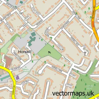
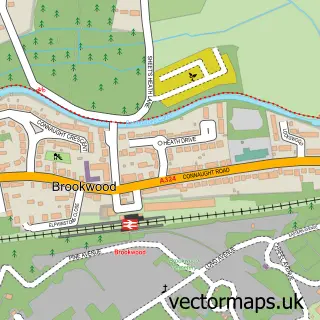
This Chobham street map is a detailed vector street map covering a 750m x 750m area. Select a larger area to create and download your own vector street map of Chobham.
The 750-metre map sample for Chobham covers 251 mapped buildings and approximately 9.9 km of road detail, of which 17 named roads are named. The immediate area includes 1 school, 1 GP surgery, 4 pubs and 1 MOT station, with 4 within 2 miles. The wider area around Chobham features 3 tourism points of interest and 11 food and drink venues. To create a larger or custom map of Chobham, the map builder lets you define your own coverage area and download editable SVG, PDF and PNG files.
Create a larger editable map of Chobham
Choose any area you need and generate a high-quality vector map instantly. Perfect for print, planning, design, business and personal use.

This Chobham street map in Surrey is available as downloadable SVG, PDF and PNG map files, or as a printed map for planning, business, display, education, local information and design work. You can also create a larger custom map area using the map selector.
What this Chobham map sample shows
Chobham lies within Chobham Cp parish, part of Windlesham & Chobham ward in the Surrey Heath District (B) local authority area. The postcode geography for this area includes the GU postcode area, the GU24 postcode district and the GU24 8 postcode sector. Residents fall under the Nhs Surrey Heartlands Integrated Care Board for NHS services.
Local features near Chobham
Within 2 milesAmenities and services in and around Chobham.
Administrative and postcode information for Chobham
The local authority covering Chobham is Surrey Heath District (B), within the county of Surrey. The settlement lies within Windlesham & Chobham ward and Chobham Cp civil parish. The GU24 postcode district and GU24 8 postcode sector serve the immediate area. NHS provision in the area is delivered through Frimley Health Nhs Foundation Trust.
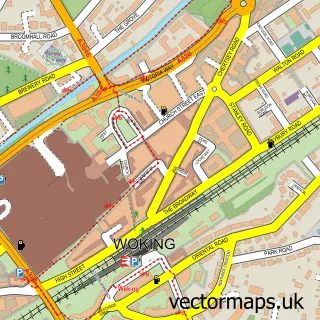
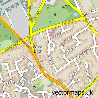
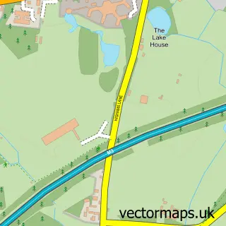
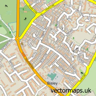
Nearby street map samples around Chobham

More street maps in Surrey
750 metre map area coverage
Boundary, postcode and point of interest information for the 750m x 750m rectangle centred on this sample map.
Boundaries containing map centre
Constituency: Surrey Heath Co Const
County: Surrey County
District: Surrey Heath District (B)
Icb: NHS Surrey and Sussex ICB
Parish: Chobham CP
Police Force: surrey
Postcode District: GU24
Postcode Sector: GU24 8
Ward: Windlesham & Chobham Ward
Nearby boundaries intersecting sample
No additional intersecting boundaries found.
Postcode coverage
POI category counts
Hair Salon: 8
Convenience Store: 4
Professional Services: 4
Pub: 4
Atms: 3
Bridal Shop: 3
Car Dealer: 3
Coffee Shop: 3
Doctor: 3
Equestrian Facility: 3
Sample points of interest
- Aquinas Training
- Brandshare
- St Lawrence, with St. Saviour
- Antique Metal Restoration
- Flora Lou
- ESSO Chobham (Rontec - CZC)
- Spar Post Office, Chobham
- The Southern Co-Operative Chobham Bagshot Road , Chobham
- AutoSphere Group
- Surrey Design And Build
- Leather Doctor Services
- Fiat & Lancia Services
Create a larger editable map of Chobham
This sample shows only a 750 metre area. To create a larger map of Chobham, use our map builder to choose your own coverage area, add titles and download editable SVG, PDF and PNG files.
Create a custom map of Chobham