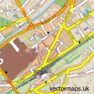
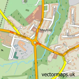
This Knaphill street map is a detailed vector street map covering a 750m x 750m area. Select a larger area to create and download your own vector street map of Knaphill.
The 750-metre map sample for Knaphill covers 560 mapped buildings and approximately 22.0 km of road detail, of which 37 named roads are named. The immediate area includes 3 GP surgeries within 2 miles, 2 pubs and 9 MOT stations within 2 miles. The wider area around Knaphill features 2 tourism points of interest, 7 food and drink venues and 1 hotel. To create a larger or custom map of Knaphill, the map builder lets you define your own coverage area and download editable SVG, PDF and PNG files.
Create a larger editable map of Knaphill
Choose any area you need and generate a high-quality vector map instantly. Perfect for print, planning, design, business and personal use.

This Knaphill street map in Surrey is available as downloadable SVG, PDF and PNG map files, or as a printed map for planning, business, display, education, local information and design work. You can also create a larger custom map area using the map selector.
What this Knaphill map sample shows
Knaphill lies within Surrey County parish, part of Knaphill ward in the Woking District (B) local authority area. The postcode geography for this area includes the GU postcode area, the GU21 postcode district and the GU21 2 postcode sector. Residents fall under the Nhs Surrey Heartlands Integrated Care Board for NHS services.
Local features near Knaphill
Within 2 milesAmenities and services in and around Knaphill.
Administrative and postcode information for Knaphill
Knaphill lies within Surrey County parish, part of Knaphill ward in the Woking District (B) local authority area. The postcode geography for this area includes the GU postcode area, the GU21 postcode district and the GU21 2 postcode sector. Residents fall under the Nhs Surrey Heartlands Integrated Care Board for NHS services.
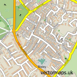
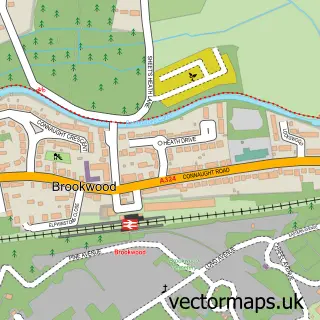
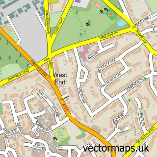
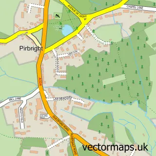
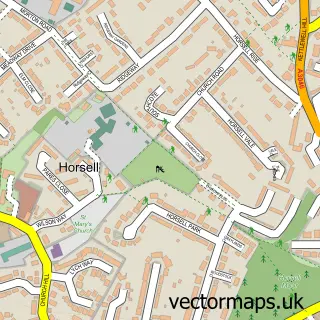
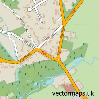
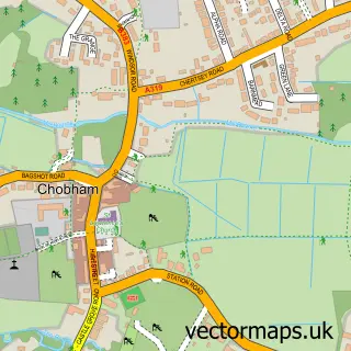
Nearby street map samples around Knaphill

More street maps in Surrey
750 metre map area coverage
Boundary, postcode and point of interest information for the 750m x 750m rectangle centred on this sample map.
Boundaries containing map centre
Constituency: Woking Boro Const
County: Surrey County
District: Woking District (B)
Icb: NHS Surrey and Sussex ICB
Police Force: surrey
Postcode District: GU21
Postcode Sector: GU21 2
Ward: Knaphill Ward
Nearby boundaries intersecting sample
Ward: St. John's Ward
Postcode coverage
POI category counts
Hair Salon: 8
Dentist: 7
Professional Services: 7
Building Supply Store: 5
Chinese Restaurant: 4
Funeral Services And Cemeteries: 4
Gas Station: 4
Bakery: 3
Barber: 3
Beauty Salon: 3
Sample points of interest
- Cygnet Lodge Woking
- TaxAssist Accountants
- Sibbick Webster Design
- Howard Davies
- Gareth Williams Antique Furniture Restauration
- MJH Services
- M J H Services
- R S M Electrical Ltd.
- Home Office Chic
- ESSO Knaphill (Rontec - CZC), Knaphill
- The Cooperative Food Knaphill, Knaphill
- Vyne Field
Create a larger editable map of Knaphill
This sample shows only a 750 metre area. To create a larger map of Knaphill, use our map builder to choose your own coverage area, add titles and download editable SVG, PDF and PNG files.
Create a custom map of Knaphill