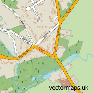
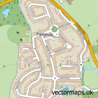
This Brookwood street map is a detailed vector street map covering a 750m x 750m area. Select a larger area to create and download your own vector street map of Brookwood.
The 750-metre map sample for Brookwood covers 192 mapped buildings and approximately 10.5 km of road detail, of which 14 named roads are named. The immediate area includes 1 school, 1 railway station, 2 GP surgeries within 2 miles and 6 MOT stations within 2 miles. The wider area around Brookwood features 2 food and drink venues. To create a larger or custom map of Brookwood, the map builder lets you define your own coverage area and download editable SVG, PDF and PNG files.
Create a larger editable map of Brookwood
Choose any area you need and generate a high-quality vector map instantly. Perfect for print, planning, design, business and personal use.

This Brookwood street map in Surrey is available as downloadable SVG, PDF and PNG map files, or as a printed map for planning, business, display, education, local information and design work. You can also create a larger custom map area using the map selector.
What this Brookwood map sample shows
Brookwood lies within Surrey County parish, part of Heathlands ward in the Woking District (B) local authority area. The postcode geography for this area includes the GU postcode area, the GU24 postcode district and the GU24 0 postcode sector. Residents fall under the Nhs Surrey Heartlands Integrated Care Board for NHS services.
Local features near Brookwood
Within 2 milesAmenities and services in and around Brookwood.
Administrative and postcode information for Brookwood
Brookwood lies within Surrey County parish, part of Heathlands ward in the Woking District (B) local authority area. The postcode geography for this area includes the GU postcode area, the GU24 postcode district and the GU24 0 postcode sector. Residents fall under the Nhs Surrey Heartlands Integrated Care Board for NHS services.
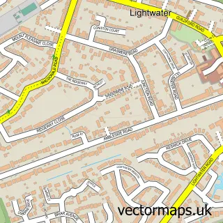
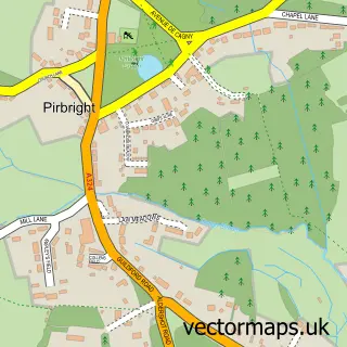
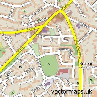
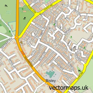
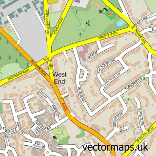
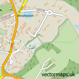
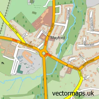
Nearby street map samples around Brookwood

More street maps in Surrey
750 metre map area coverage
Boundary, postcode and point of interest information for the 750m x 750m rectangle centred on this sample map.
Boundaries containing map centre
Constituency: Woking Boro Const
County: Surrey County
District: Woking District (B)
Icb: NHS Surrey and Sussex ICB
Police Force: surrey
Postcode District: GU24
Postcode Sector: GU24 0
Ward: Heathlands Ward
Nearby boundaries intersecting sample
Postcode District: GU21
Postcode Sector: GU21 2
Postcode coverage
POI category counts
Preschool: 3
Professional Services: 3
Anglican Church: 2
Beauty Salon: 2
Business Consulting: 2
Candy Store: 2
Church Cathedral: 2
Cleaning Services: 2
Convenience Store: 2
Elementary School: 2
Sample points of interest
- Herbert Parnell
- Woking Massage Therapy
- St. Saviour's Church
- Woodhill Church Connaught Road
- Brookwood Military Cemetery
- MCD Broadcast Auctions
- Glassmaster
- Brookwood Barber Box
- Pirbright Southern Services
- Lilly Pink
- Embellish Hair and Beauty
- Me time with Lauren
Create a larger editable map of Brookwood
This sample shows only a 750 metre area. To create a larger map of Brookwood, use our map builder to choose your own coverage area, add titles and download editable SVG, PDF and PNG files.
Create a custom map of Brookwood