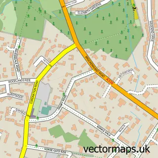
This Lightwater street map is a detailed vector street map covering a 750m x 750m area. Select a larger area to create and download your own vector street map of Lightwater.
The 750-metre map sample for Lightwater covers 696 mapped buildings and approximately 19.1 km of road detail, of which 36 named roads are named. The immediate area includes 1 school, 2 GP surgeries within 2 miles, 1 pub and 8 MOT stations within 2 miles. The wider area around Lightwater features 1 tourism point of interest and 4 food and drink venues. To create a larger or custom map of Lightwater, the map builder lets you define your own coverage area and download editable SVG, PDF and PNG files.
Create a larger editable map of Lightwater
Choose any area you need and generate a high-quality vector map instantly. Perfect for print, planning, design, business and personal use.

This Lightwater street map in Surrey is available as downloadable SVG, PDF and PNG map files, or as a printed map for planning, business, display, education, local information and design work. You can also create a larger custom map area using the map selector.
What this Lightwater map sample shows
Lightwater lies within Windlesham Cp parish, part of Lightwater ward in the Surrey Heath District (B) local authority area. The postcode geography for this area includes the GU postcode area, the GU18 postcode district and the GU18 5 postcode sector. Residents fall under the Nhs Frimley Integrated Care Board for NHS services.
Local features near Lightwater
Within 2 milesAmenities and services in and around Lightwater.
Administrative and postcode information for Lightwater
The local authority covering Lightwater is Surrey Heath District (B), within the county of Surrey. The settlement lies within Lightwater ward and Windlesham Cp civil parish. The GU18 postcode district and GU18 5 postcode sector serve the immediate area. NHS provision in the area is delivered through Frimley Health Nhs Foundation Trust.
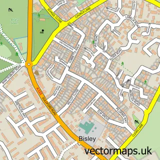
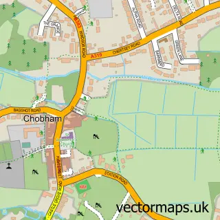
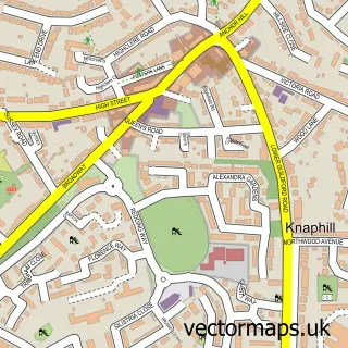
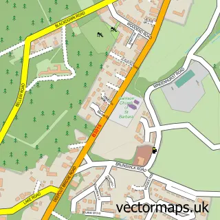
Nearby street map samples around Lightwater

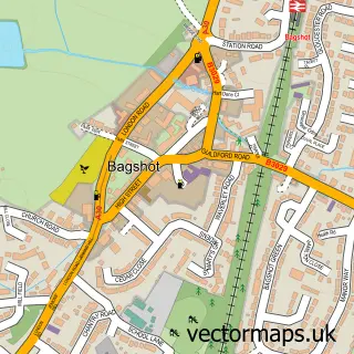
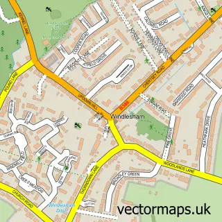
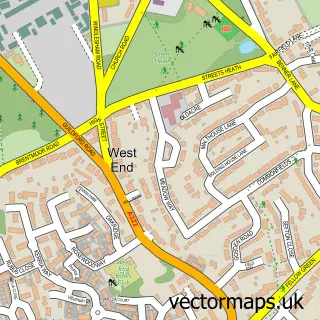
More street maps in Surrey
750 metre map area coverage
Boundary, postcode and point of interest information for the 750m x 750m rectangle centred on this sample map.
Boundaries containing map centre
Constituency: Surrey Heath Co Const
County: Surrey County
District: Surrey Heath District (B)
Icb: NHS Frimley ICB
Parish: Windlesham CP
Police Force: surrey
Postcode District: GU18
Postcode Sector: GU18 5
Ward: Lightwater Ward
Nearby boundaries intersecting sample
Parish: West End CP
Ward: Bisley & West End Ward
Postcode coverage
POI category counts
Advertising Agency: 3
Retail: 3
Contractor: 2
Education: 2
Food Delivery Service: 2
It Service And Computer Repair: 2
Jewelry Store: 2
Library: 2
Professional Services: 2
Real Estate Agent: 2
Sample points of interest
- French & Sarsby
- The Halo Works
- YUnique Marketing
- Lightwater Homecare
- Knight Recovery
- InstaVolt Charging Station
- Barclays
- Lightwater Barbers
- Meraki Hair and Beauty
- Fixcycle
- Lec Electrical Engineers
- Saleslynx
Create a larger editable map of Lightwater
This sample shows only a 750 metre area. To create a larger map of Lightwater, use our map builder to choose your own coverage area, add titles and download editable SVG, PDF and PNG files.
Create a custom map of Lightwater