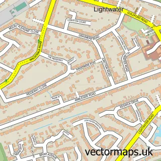
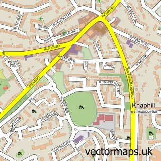
This West End street map is a detailed vector street map covering a 750m x 750m area. Select a larger area to create and download your own vector street map of West End.
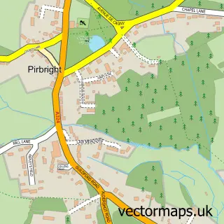
The 750-metre map sample for West End covers 445 mapped buildings and approximately 20.1 km of road detail, of which 37 named roads are named. The immediate area includes 1 school, 2 GP surgeries within 2 miles, 3 pubs and 4 MOT stations within 2 miles. The wider area around West End features 2 tourism points of interest and 7 food and drink venues. To create a larger or custom map of West End, the map builder lets you define your own coverage area and download editable SVG, PDF and PNG files.
Create a larger editable map of West End
Choose any area you need and generate a high-quality vector map instantly. Perfect for print, planning, design, business and personal use.

This West End street map in Surrey is available as downloadable SVG, PDF and PNG map files, or as a printed map for planning, business, display, education, local information and design work. You can also create a larger custom map area using the map selector.
What this West End map sample shows
West End lies within West End Cp parish, part of Bisley & West End ward in the Surrey Heath District (B) local authority area. The postcode geography for this area includes the GU postcode area, the GU24 postcode district and the GU24 9 postcode sector. Residents fall under the Nhs Surrey Heartlands Integrated Care Board for NHS services.
Local features near West End
Within 2 milesAmenities and services in and around West End.
Administrative and postcode information for West End
The local authority covering West End is Surrey Heath District (B), within the county of Surrey. The settlement lies within Bisley & West End ward and West End Cp civil parish. The GU24 postcode district and GU24 9 postcode sector serve the immediate area. NHS provision in the area is delivered through Frimley Health Nhs Foundation Trust.
Nearby street map samples around West End

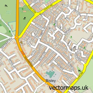
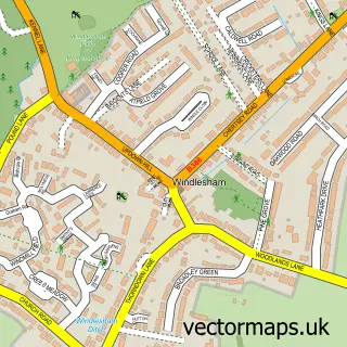
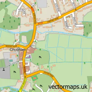
More street maps in Surrey
750 metre map area coverage
Boundary, postcode and point of interest information for the 750m x 750m rectangle centred on this sample map.
Boundaries containing map centre
Constituency: Surrey Heath Co Const
County: Surrey County
District: Surrey Heath District (B)
Icb: NHS Surrey and Sussex ICB
Parish: West End CP
Police Force: surrey
Postcode District: GU24
Postcode Sector: GU24 9
Ward: Bisley & West End Ward
Nearby boundaries intersecting sample
No additional intersecting boundaries found.
Postcode coverage
POI category counts
Professional Services: 4
Cafe: 3
Cleaning Services: 3
Gas Station: 3
Pub: 3
Assisted Living Facility: 2
Beauty Salon: 2
Child Care And Day Care: 2
Church Cathedral: 2
Convenience Store: 2
Sample points of interest
- Orange Press
- West End: Holy Trinity
- Gracewell of Woking
- Greenview Hall
- BP - Gordon SF Connect, West End
- Sopheon
- B Beauty
- Style
- Post Office-West End
- Shack Cafe Hook
- West End Village Cafe
- Wild Bean Café
Create a larger editable map of West End
This sample shows only a 750 metre area. To create a larger map of West End, use our map builder to choose your own coverage area, add titles and download editable SVG, PDF and PNG files.
Create a custom map of West End